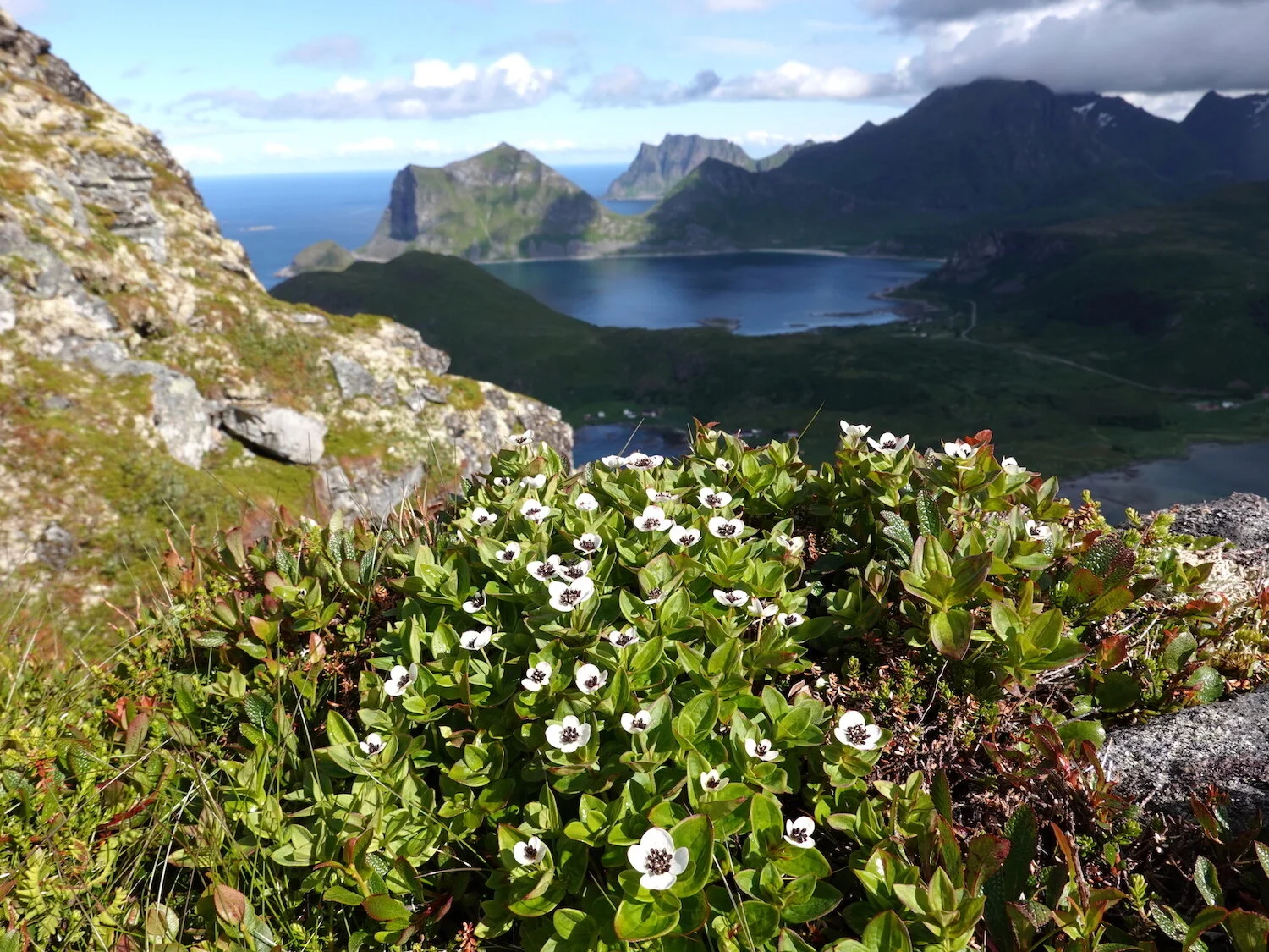
A view northward from near the summit of Offersoykammen
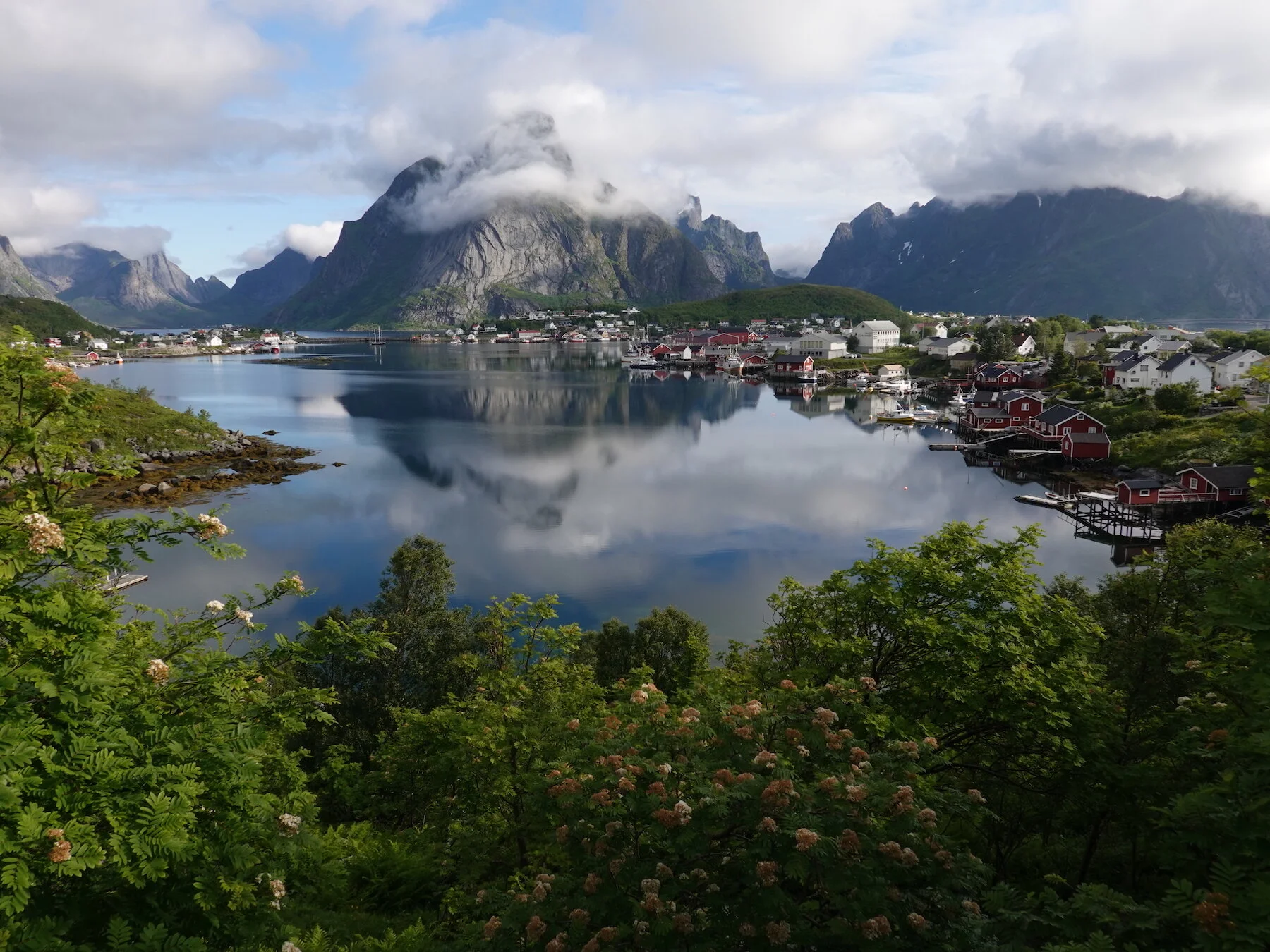
Reine morning light / Lofoten islands classic / hiking every day
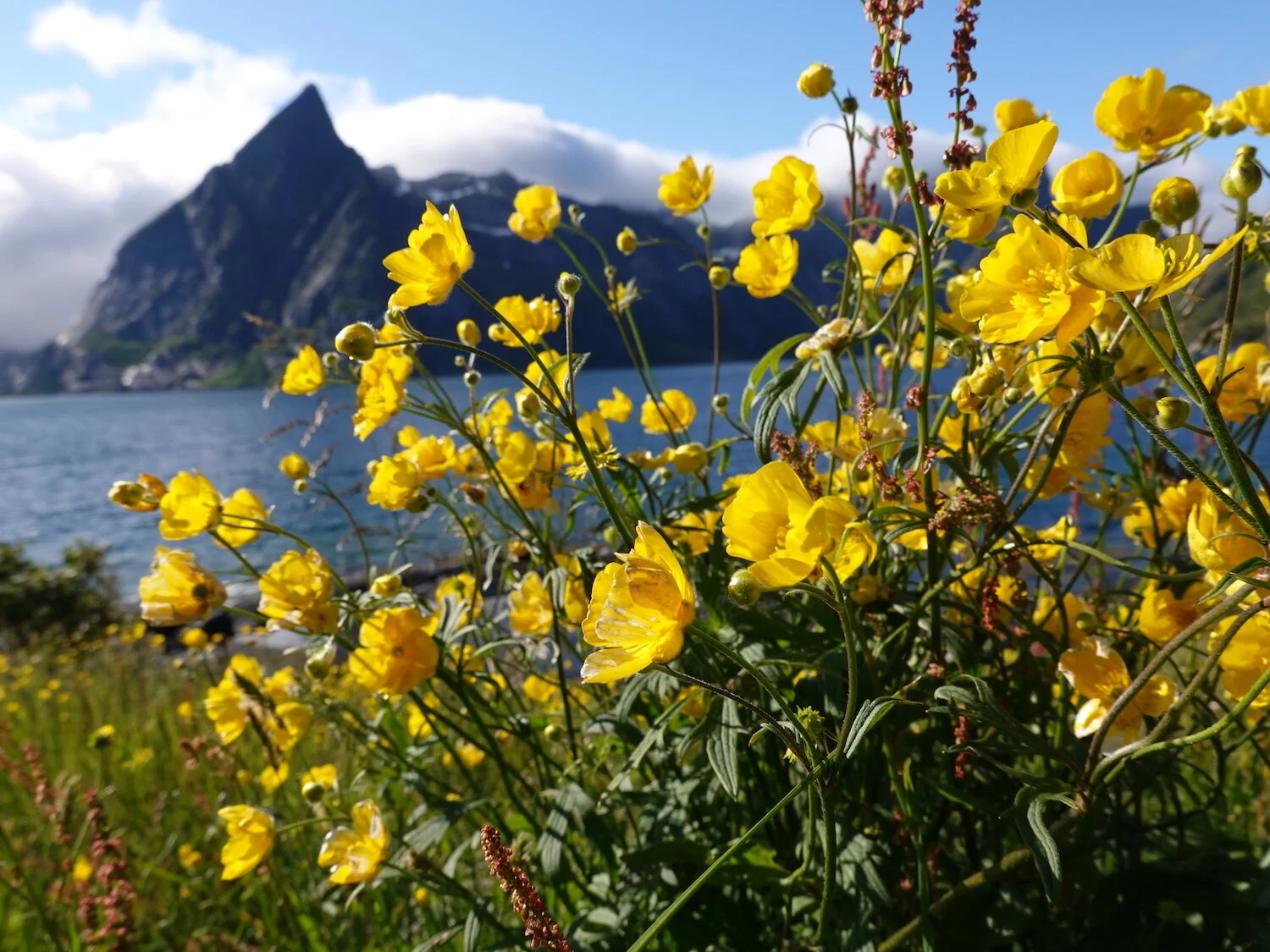
Good point and flowers / exploring local islands / mountains and ocean

Clearing fog reveals / Segla (the sail) and two fjords / a break in the rain
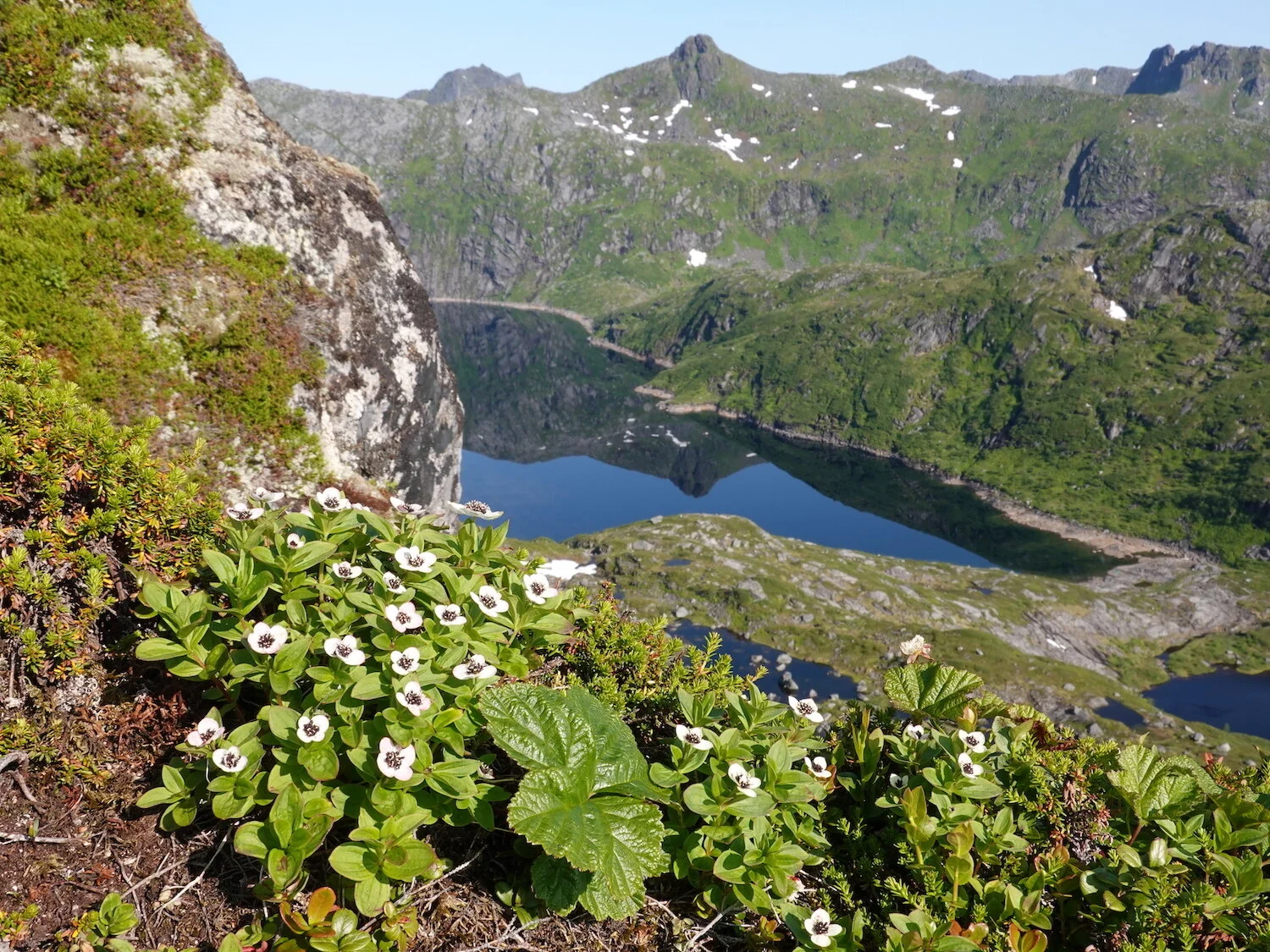
Konstindan flowers / up a steep ridge from Svolvaer / a really nice day
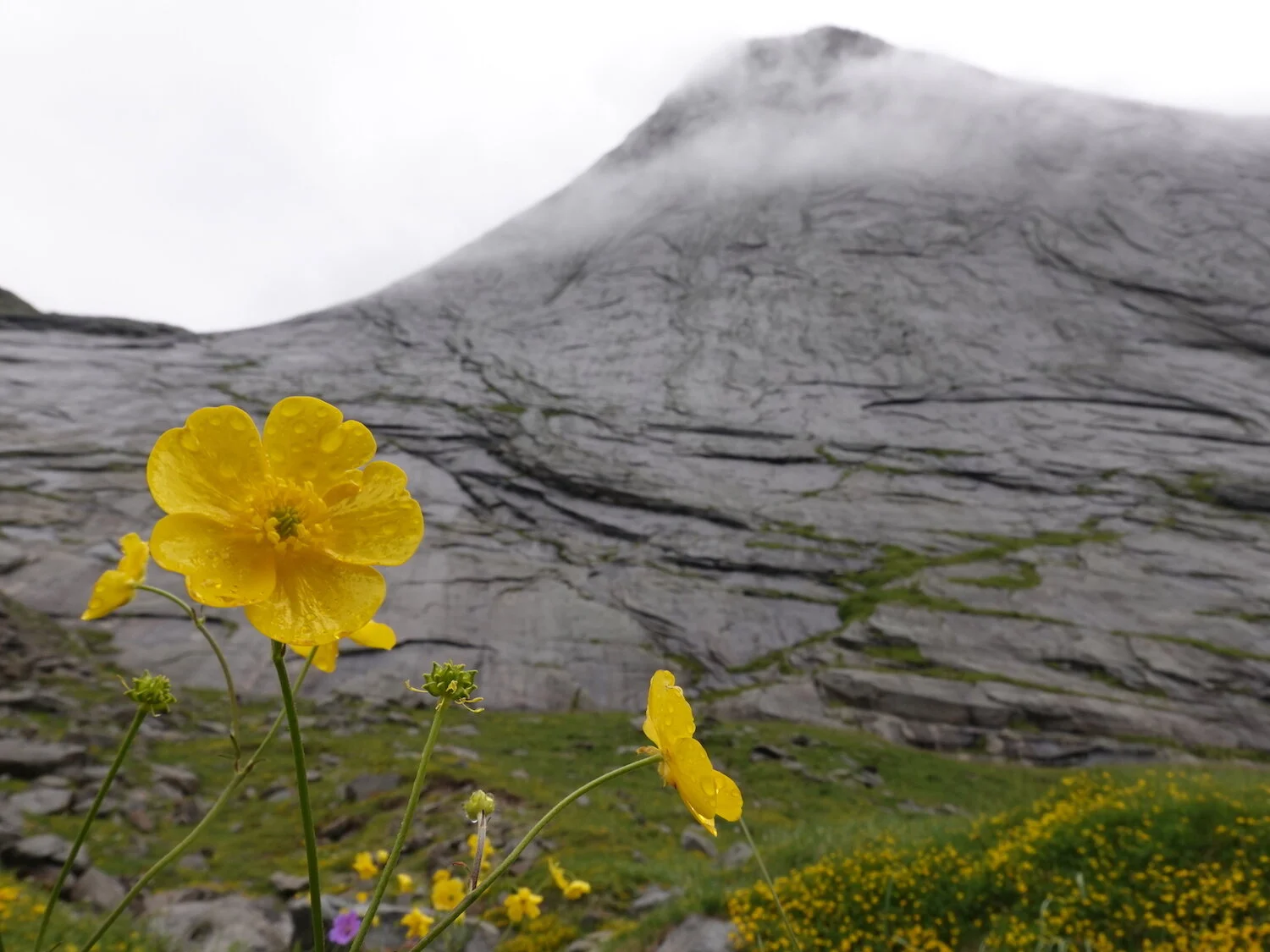
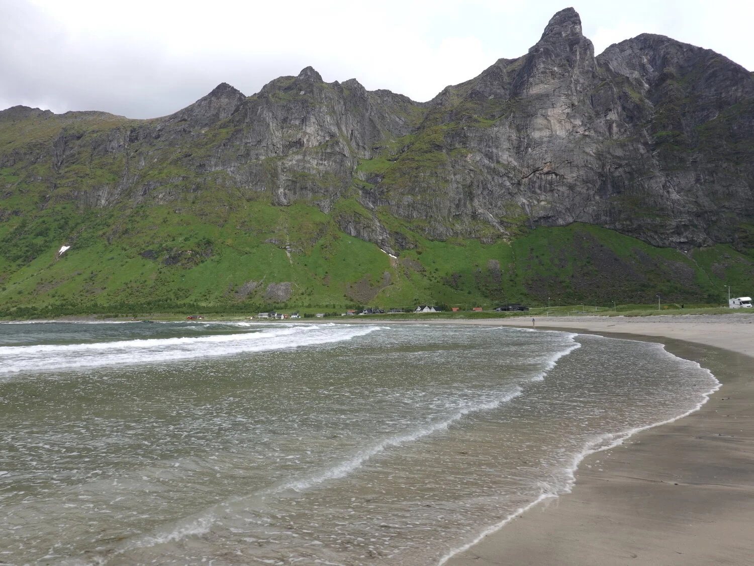
Big walls and damp days / good place to bring umbrella / photo from the beach

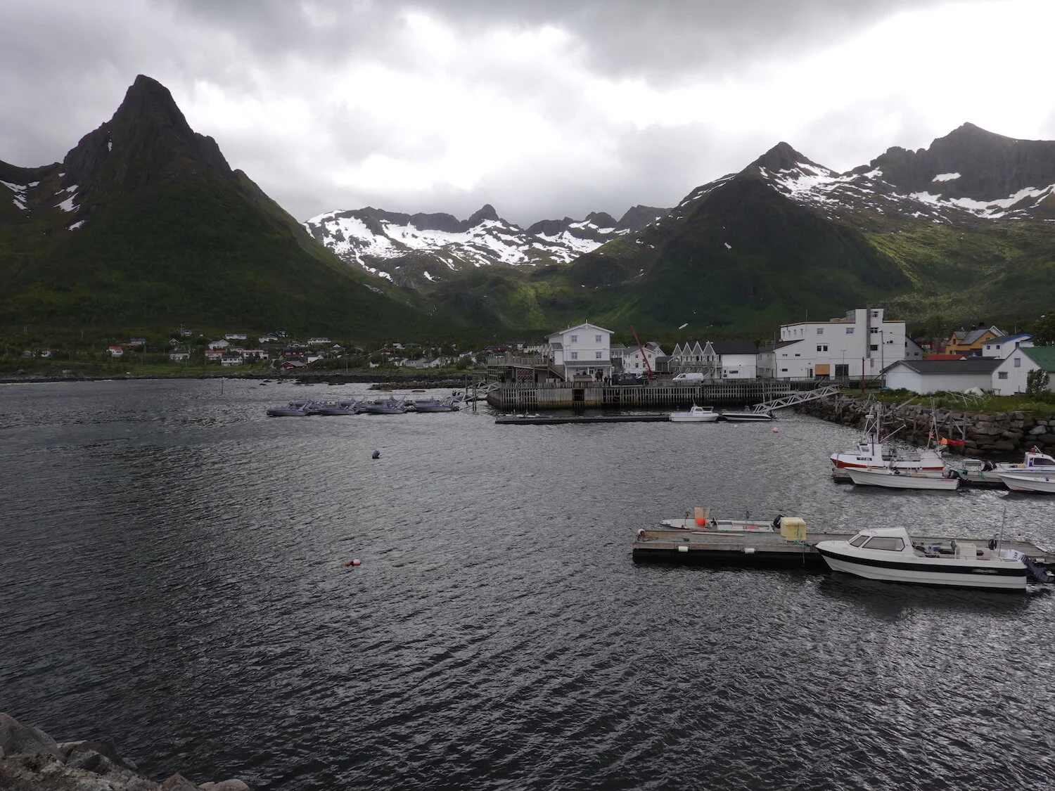
We flew to the Harstad Narvik airport and started the trip by driving to the town of Mefjordaer on the island of Senja where we stayed at the Mejford Brygge - the two story dock hotel on the right
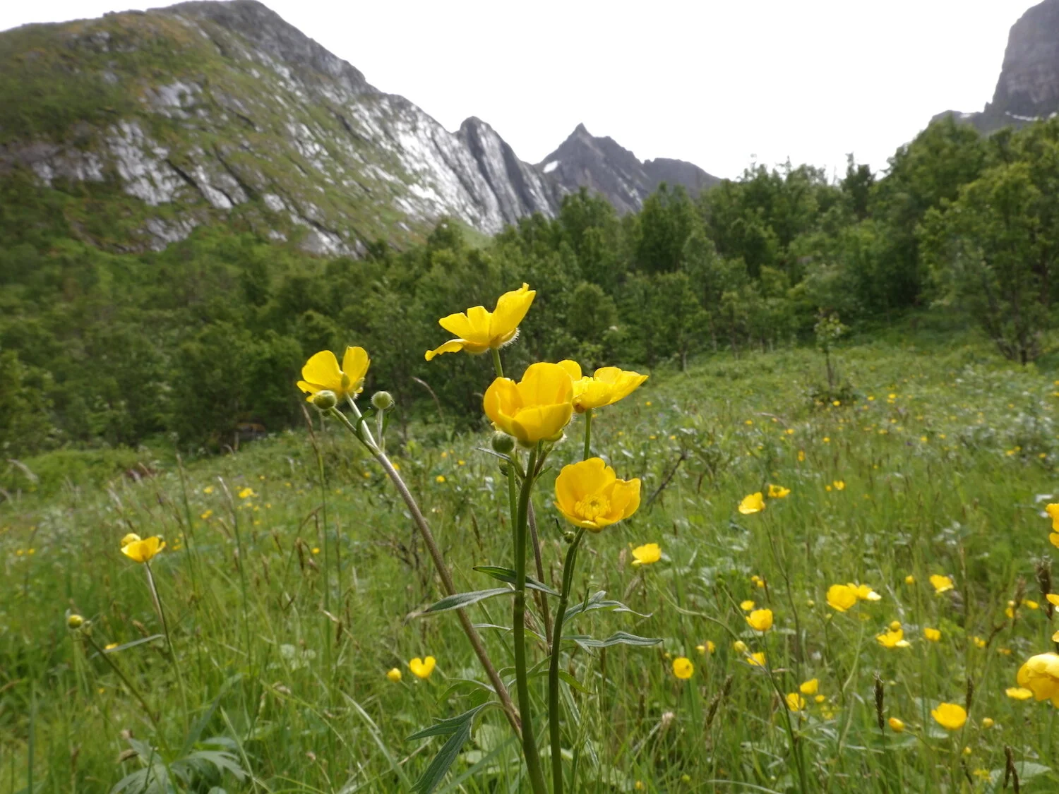
The first full day we drove to the island of Senja and whenever we'd get close to a hike the weather would move in. Looking up toward Breidtinden from near Mefjordotn
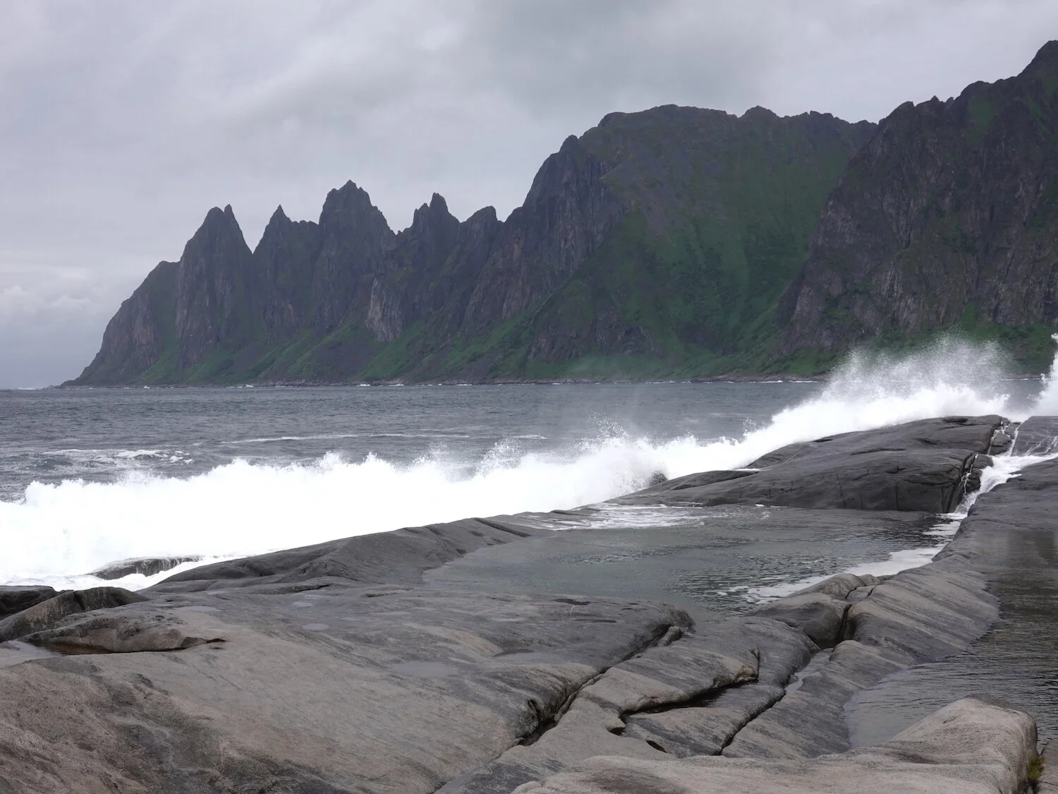
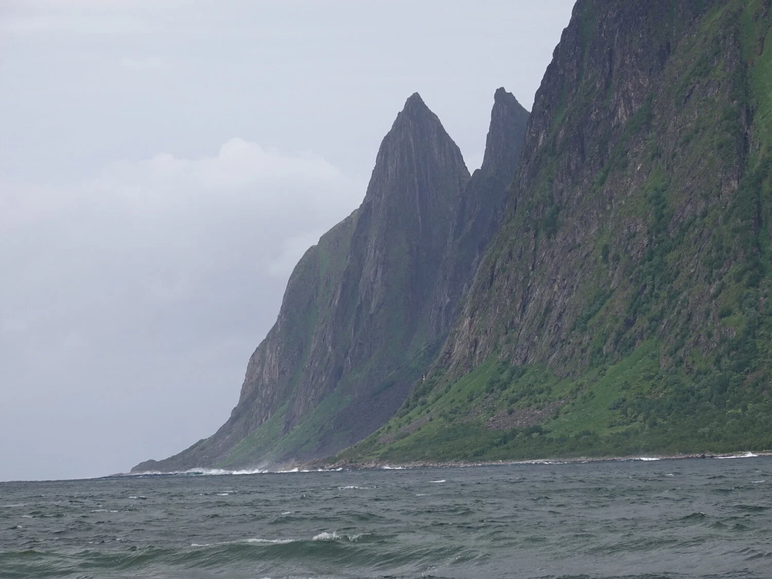
The Oxhornan rising above the Ersfjord
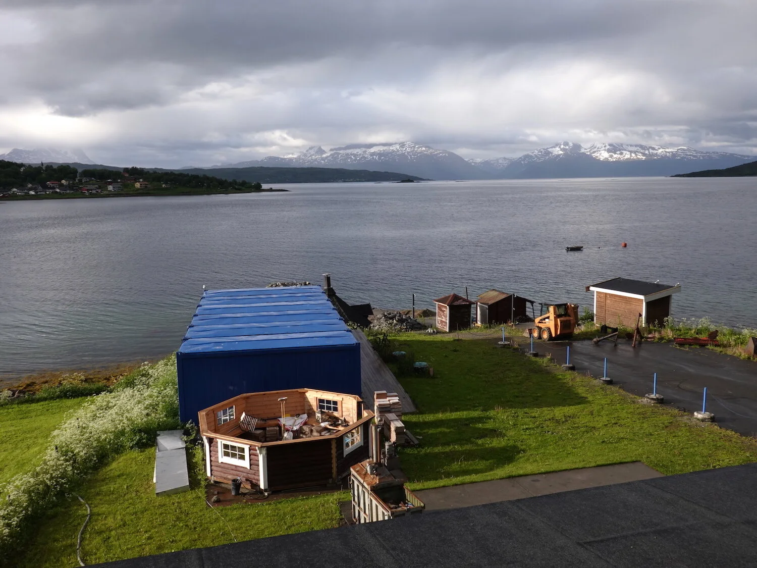
The first night we drove about 14 km from the airport to the Evenes Fjordhotell. My main camera went belly up and fortunately I had a Sony compact camera along as a backup.

The fjells or the peaks rise straight up out of the fjords as is the case here at Mefjord
We bailed on our first hike and instead headed out from our hotel to a low mountain called Knuten (the knot)
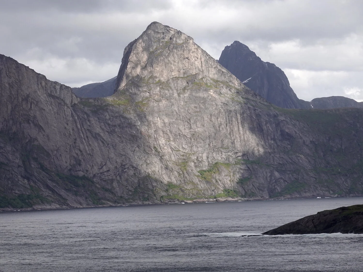
We got a nice view up the fjord toward Segla (the sail)
The different fjords were connected by a series of narrow tunnels through the mountains
If you didn't like the weather in one fjord you could just head through a tunnel to the next
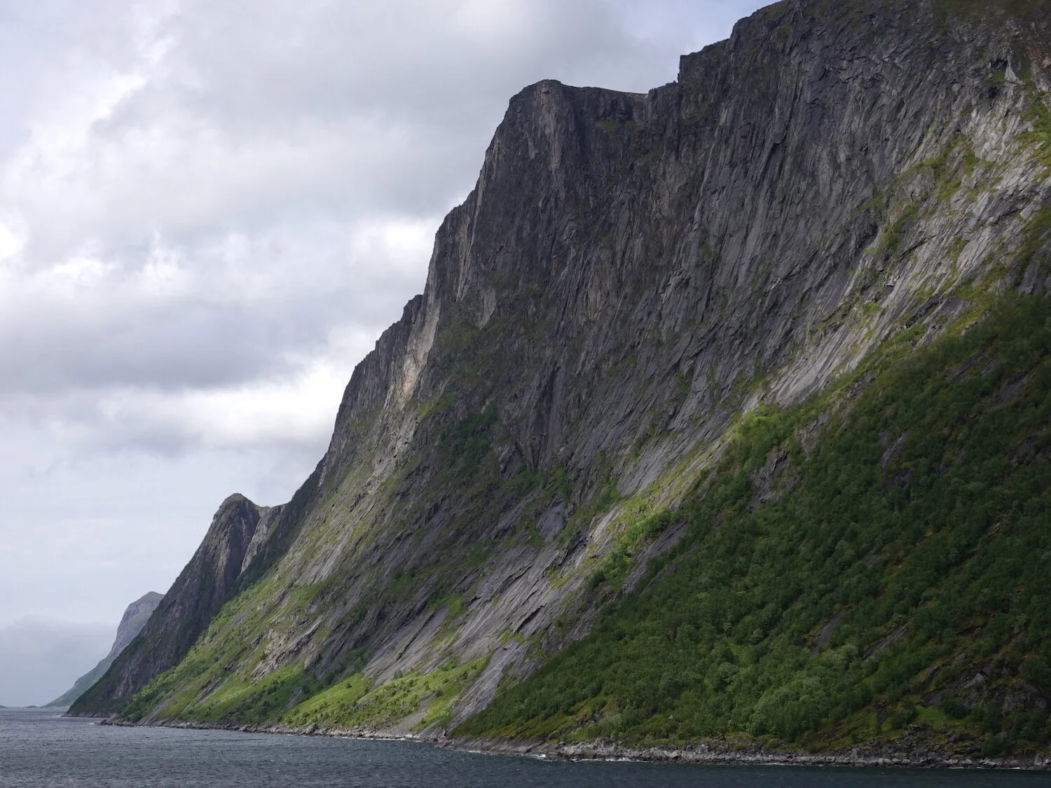
Senja island featured outstanding coastal scenery
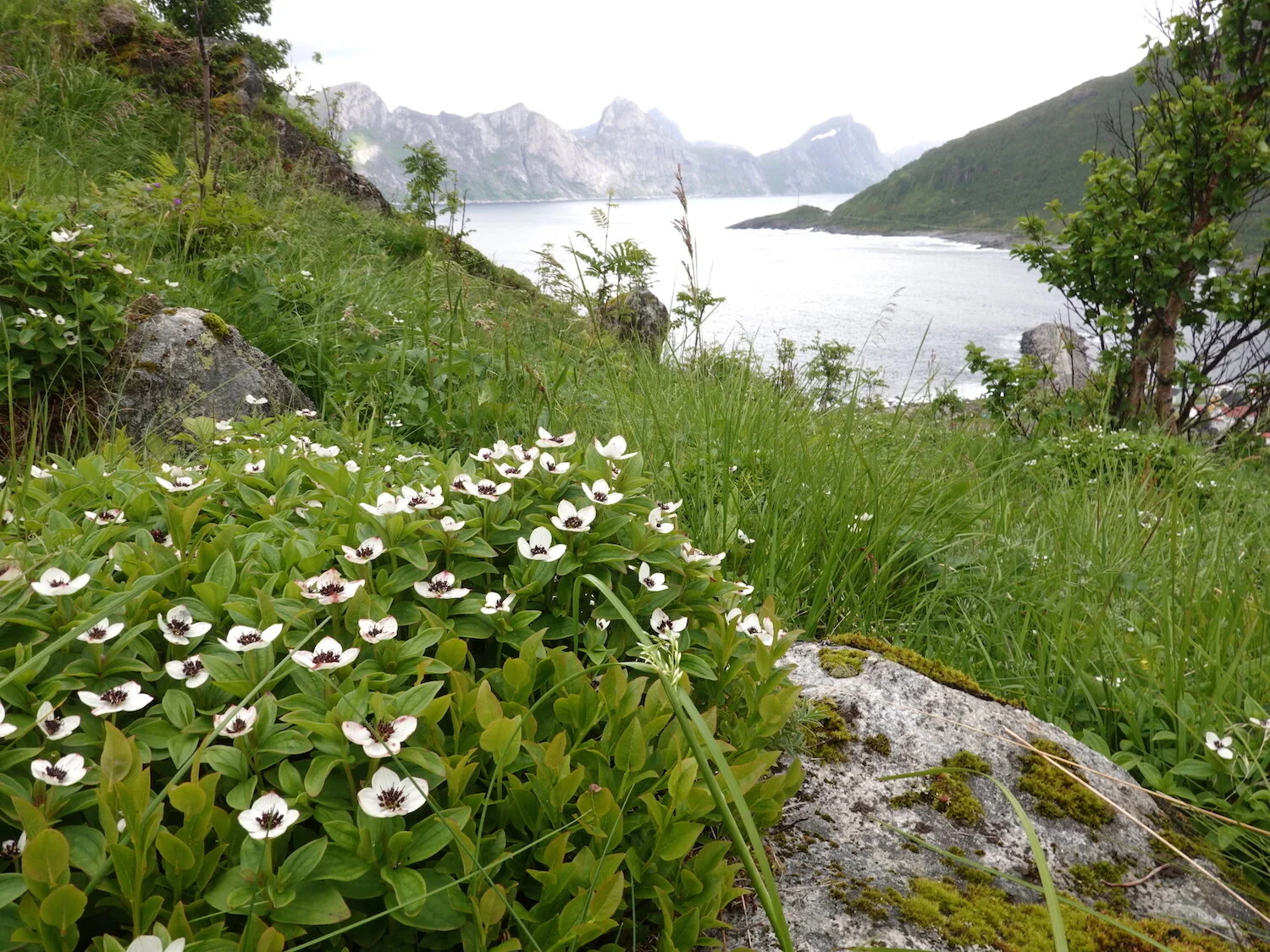
A view from Knuten up toward Segla and the head of the fjord
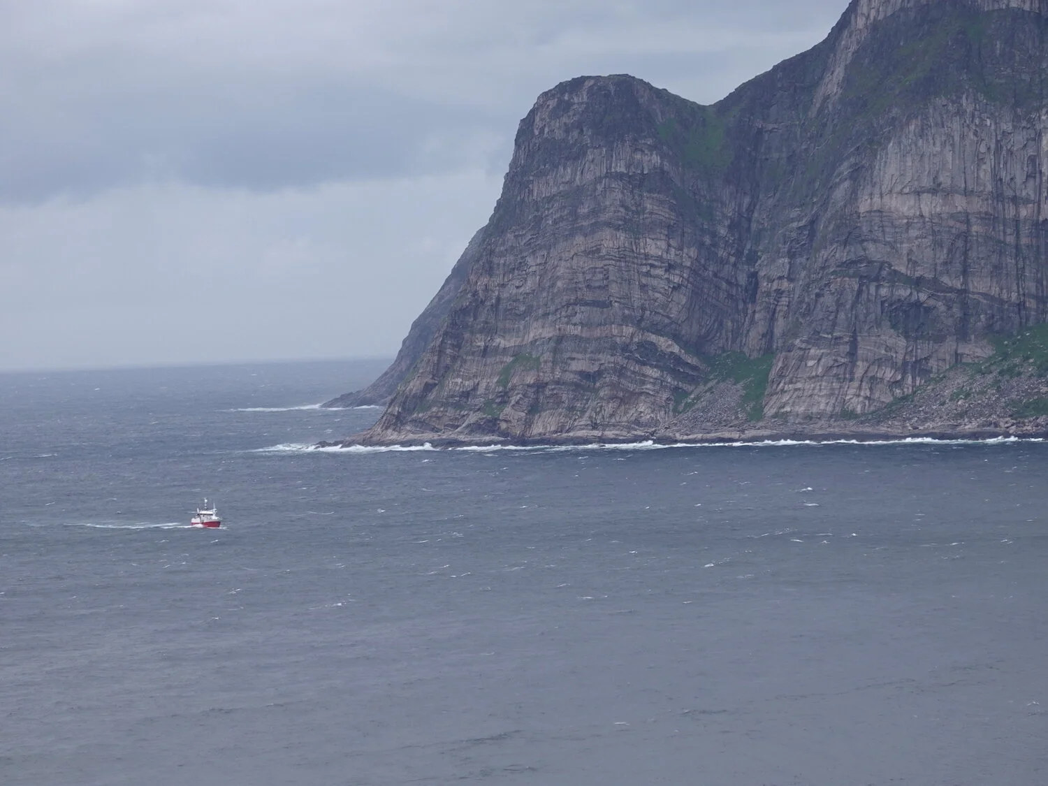
A fishing boat bobs back from the North Sea into the Mefjord
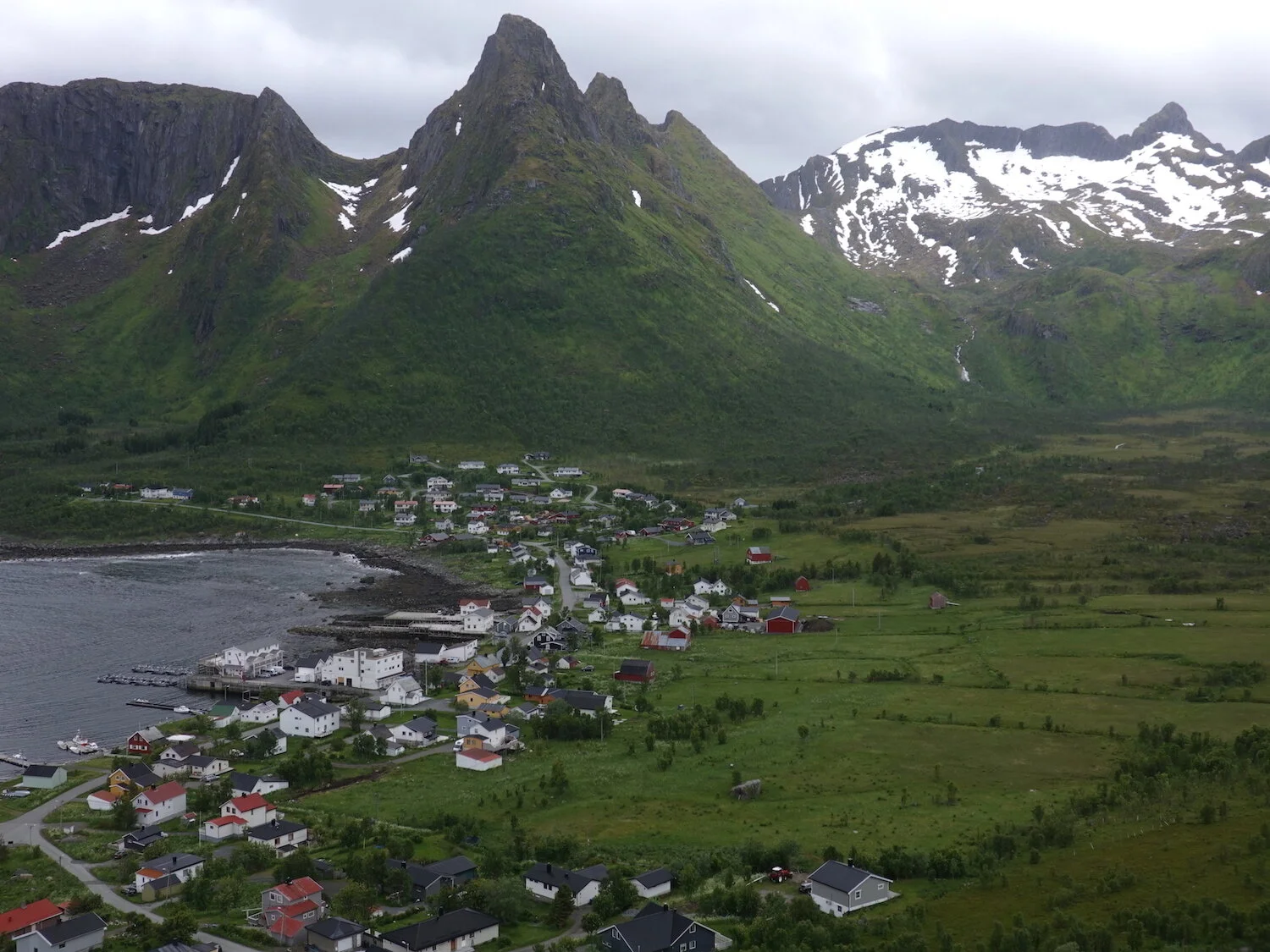
The Peak "Kyle" rises dramatically up above Mefjordaer.
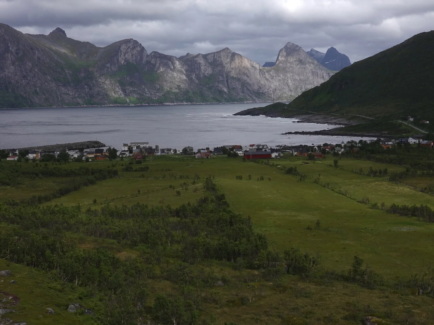
The sun shines on Hesten (the horse) and Segla in Mefjord as viewed from a hike to a small lake in the muskeg

One of those 24 second bursts of sunshine in the muskeg above Mefjordaer
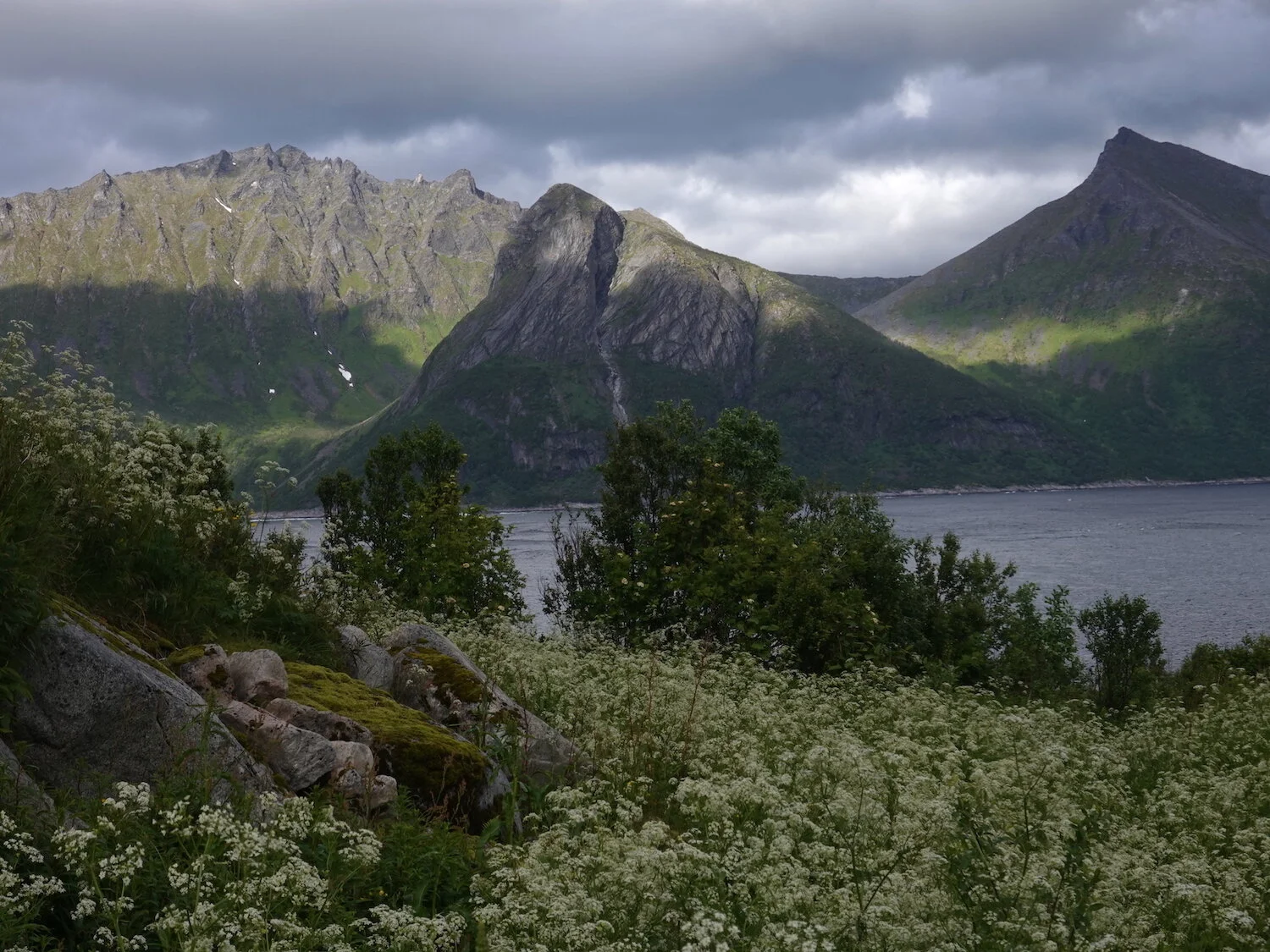
Mefjord sun and shade
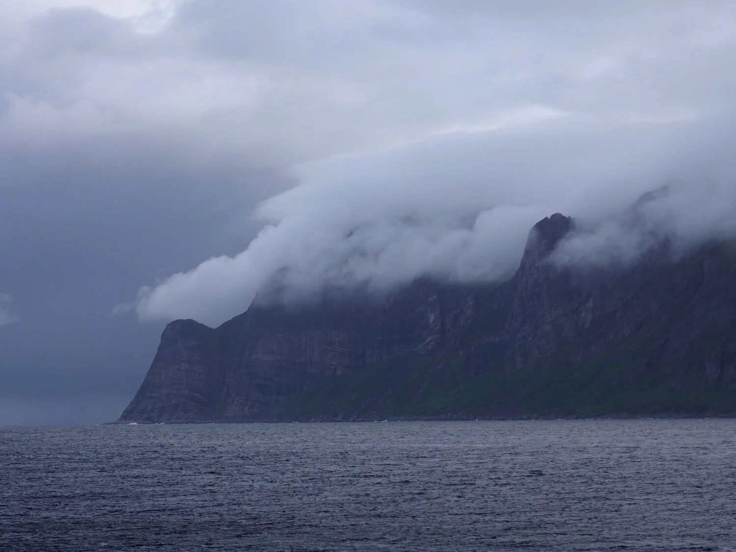
Morning fog above the Mefjord

A morning walk from the hotel with another brief episode of glorious sunshine
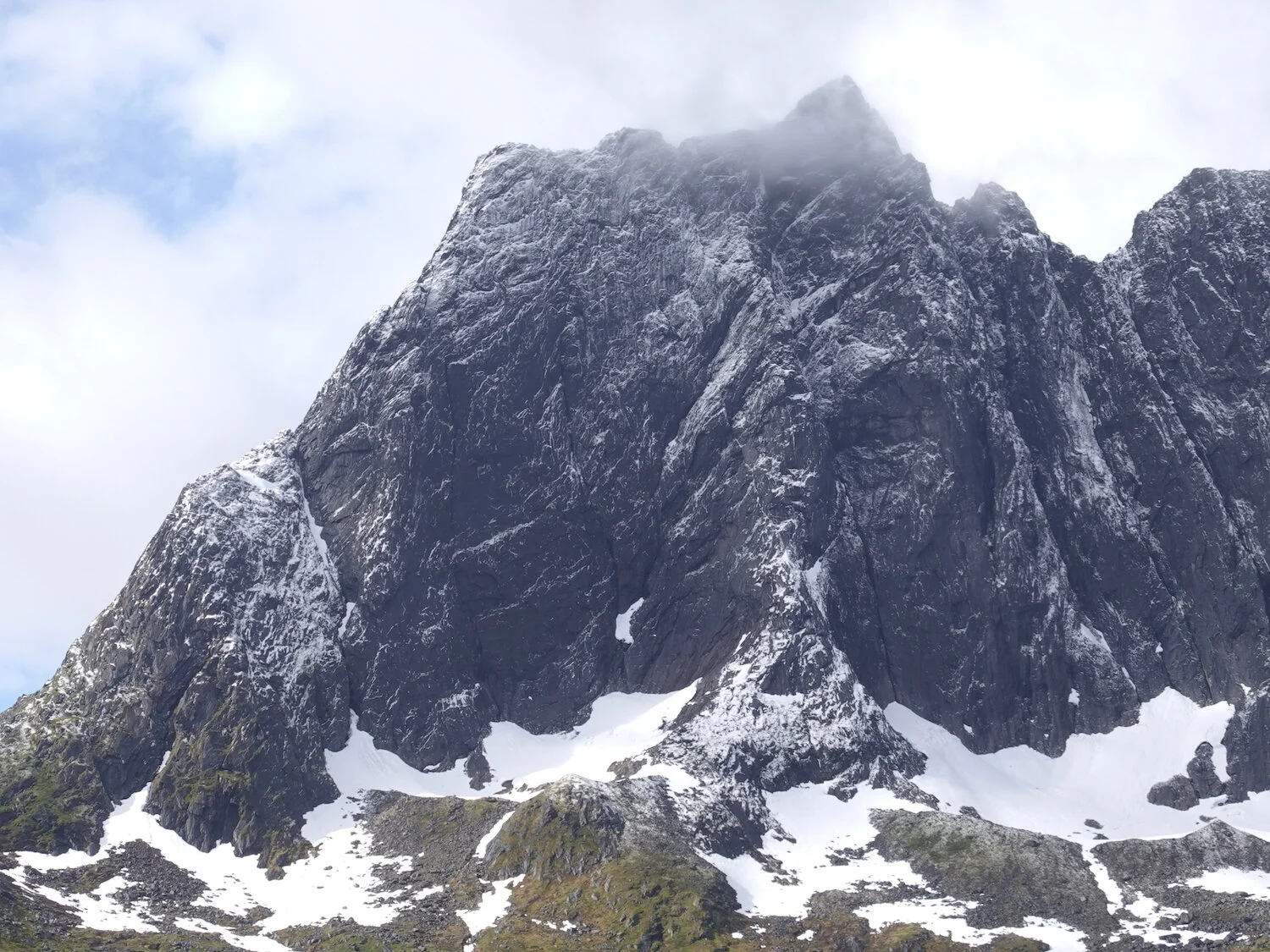
We drove back over to Fjordgard through a narrow dark and steep tunnel and couldn't help but to notice some white material on the peaks
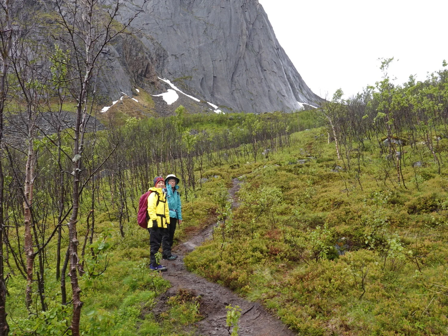
Hiroko and Junko starting up from a small ski area on the edge of Fjordgard up toward Hesten
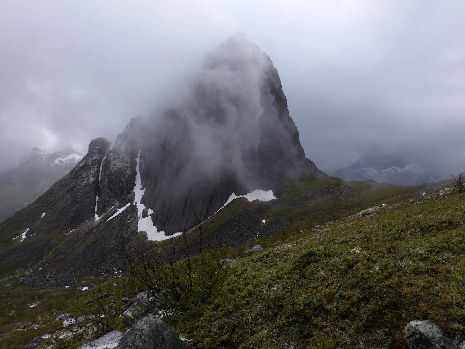
We could initially see Segla but the veil quickly closed and it started to hail
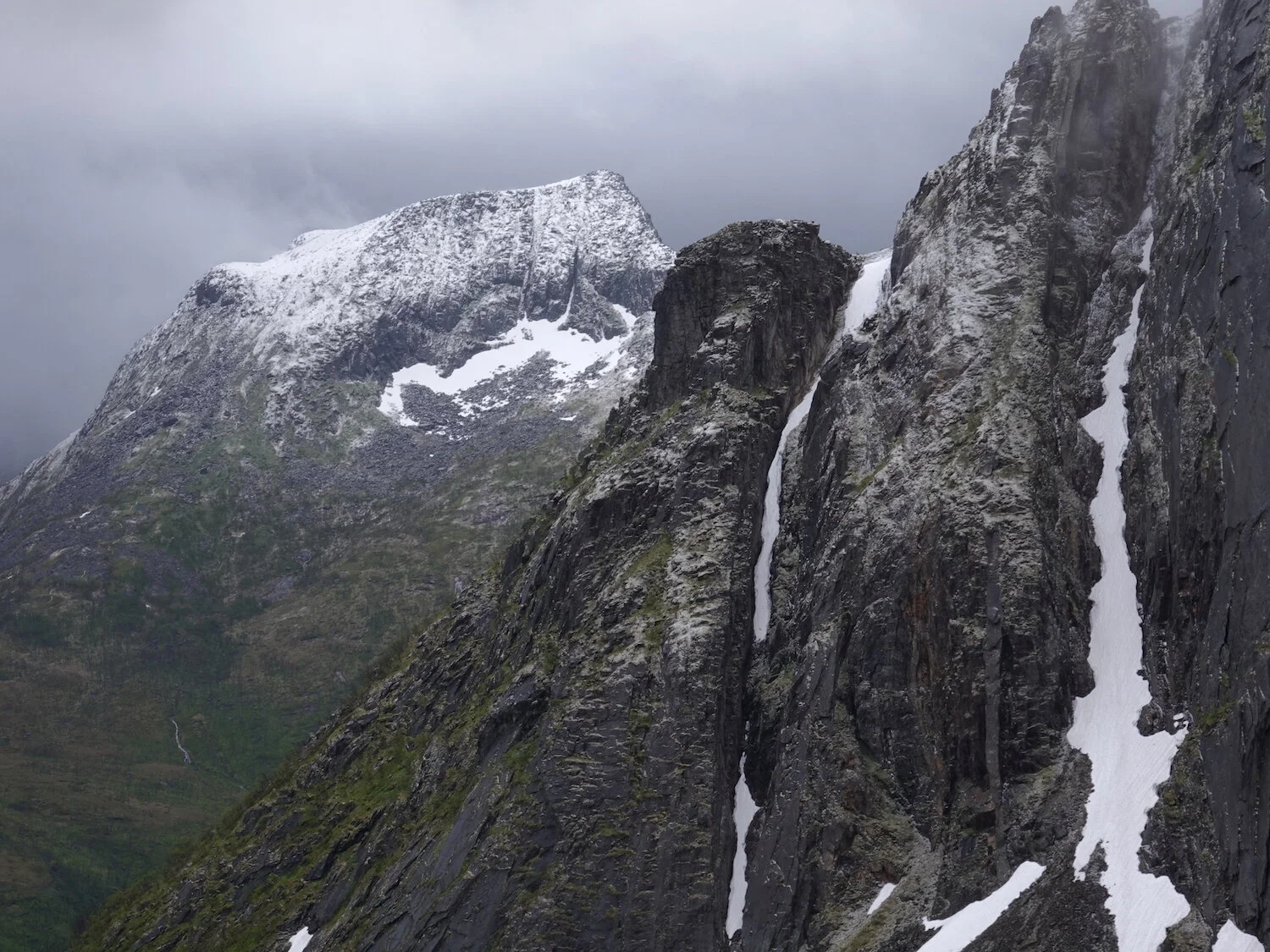
Fresh white material on the peak behind Segla
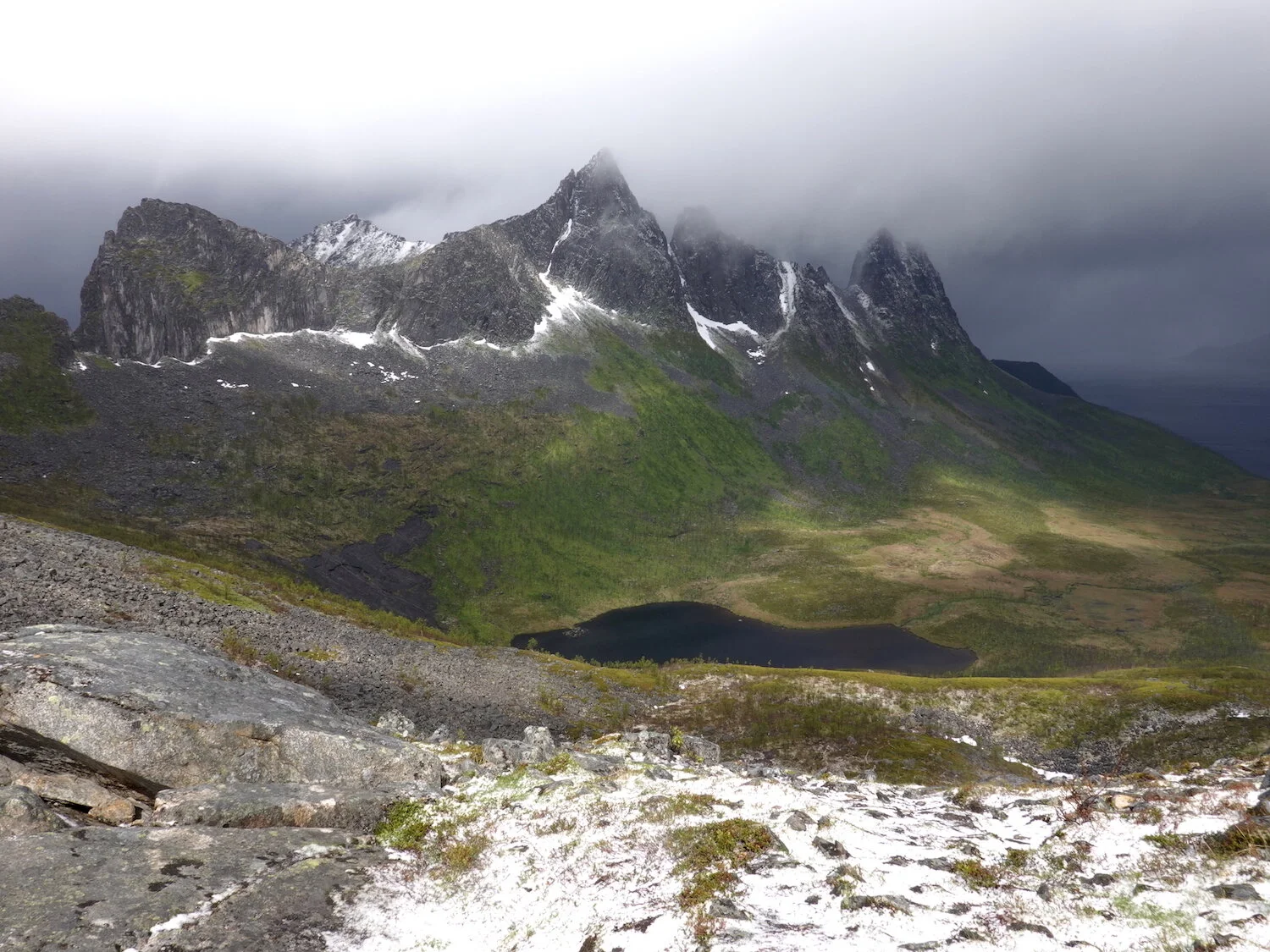
It looked like we might be able to summit Hesten for a bit and then it started hailing in the wind

View back down toward Fjordgard
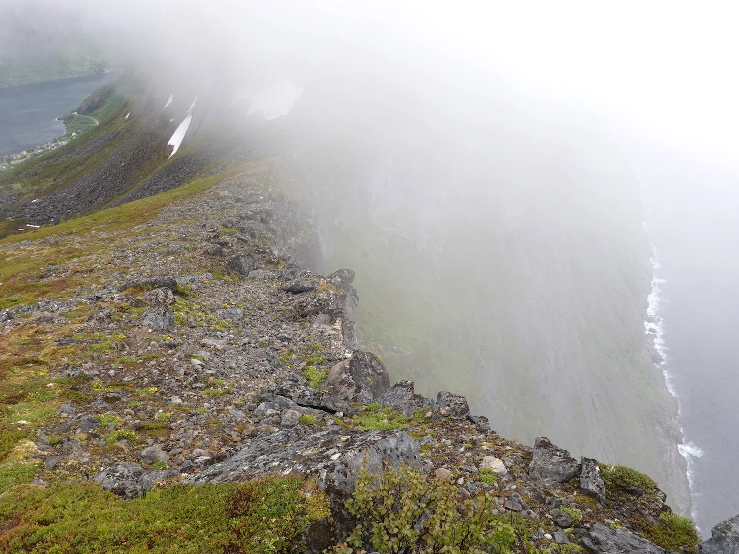
We traversed over to the ridge to see if it would clear and tried to stay warm

There was some hope that it would clear.
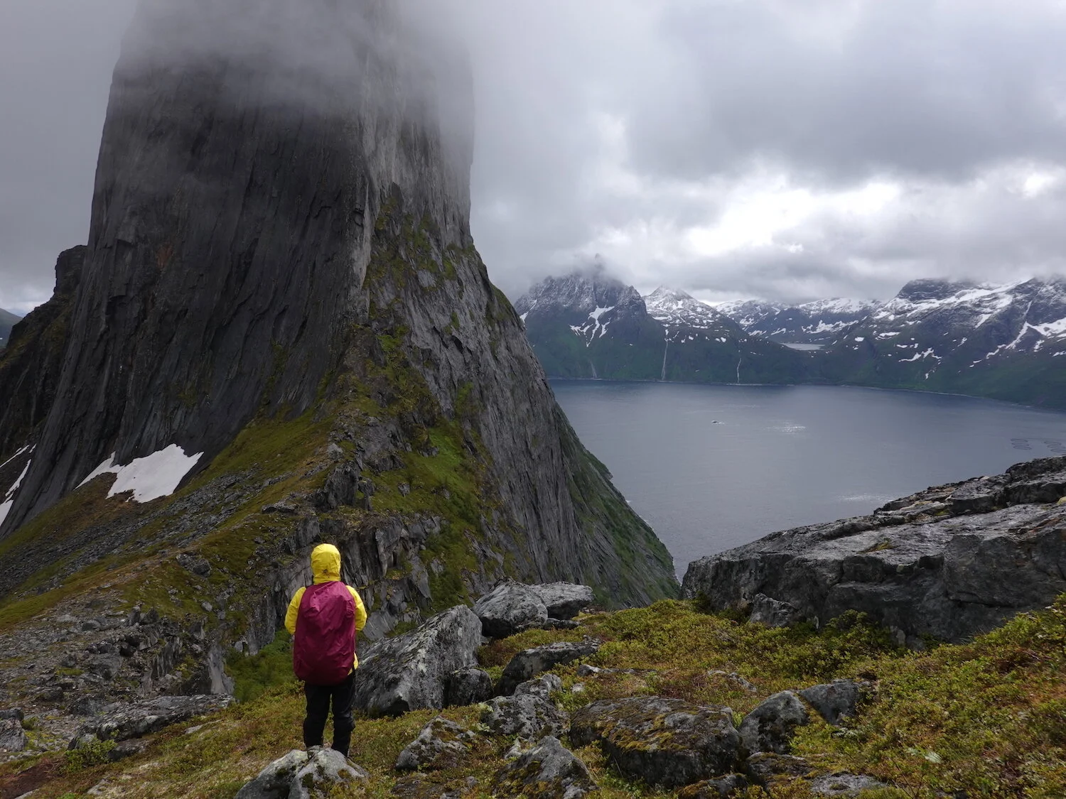
Hiroko patiently waiting for a clearing
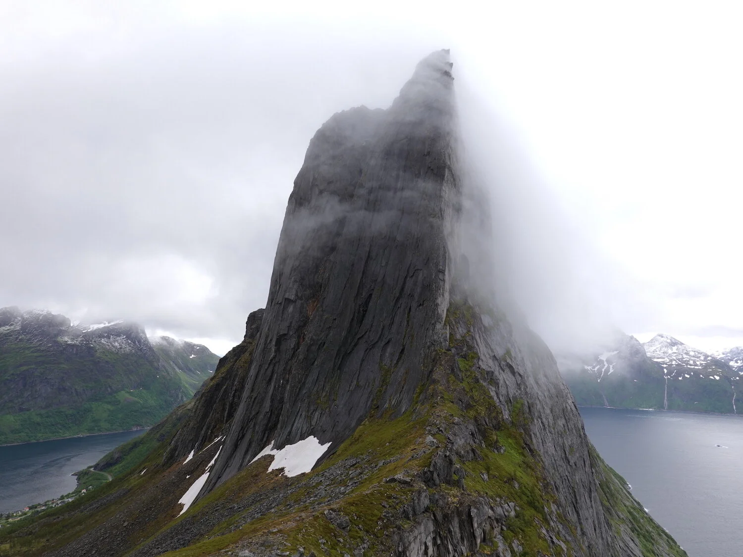
And then we were finally able to see the dramatic summit of Segla between the fjords
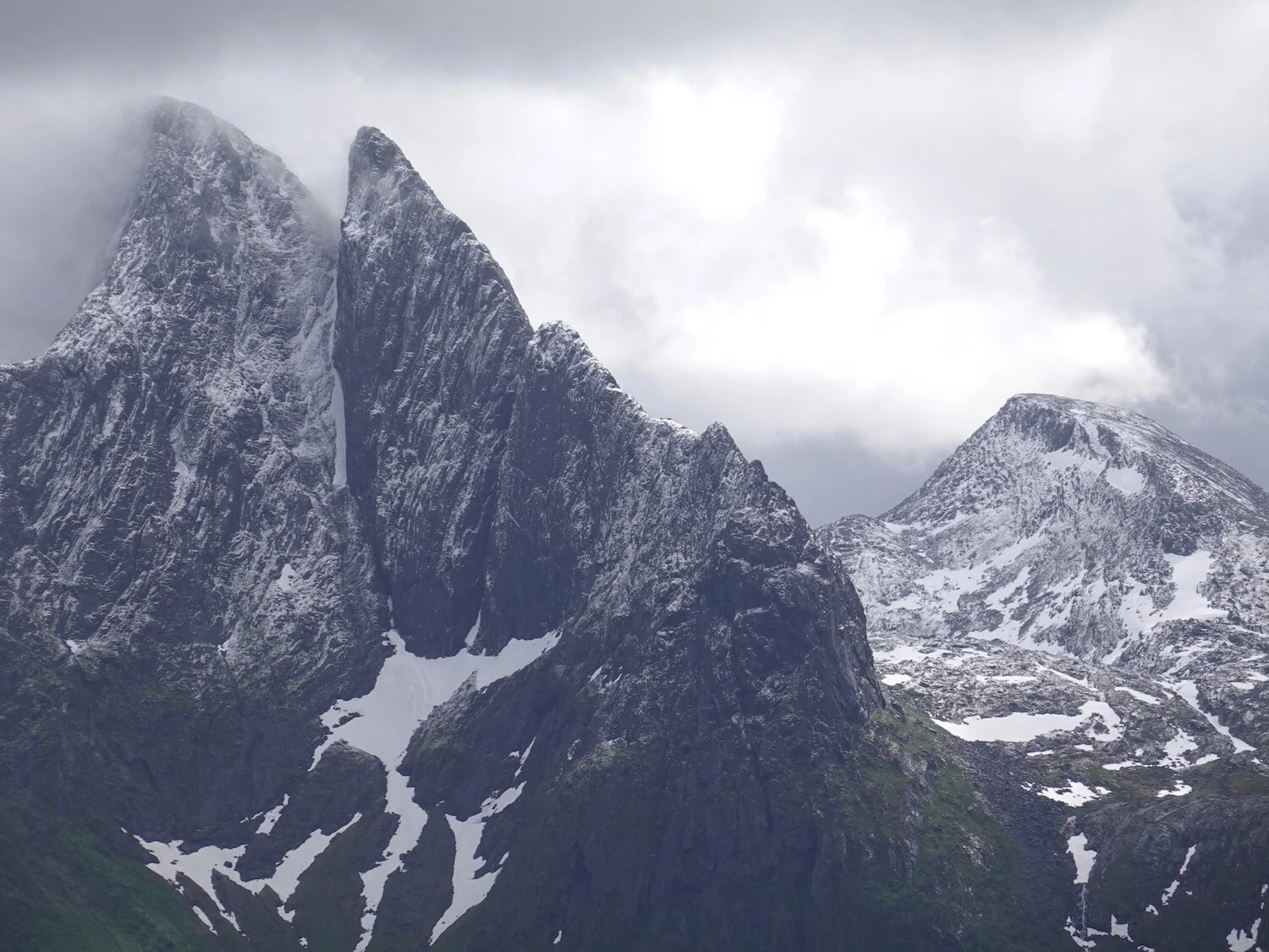
Our trip to Senja and the Lofoten Islands was in the last days of June and the start of July
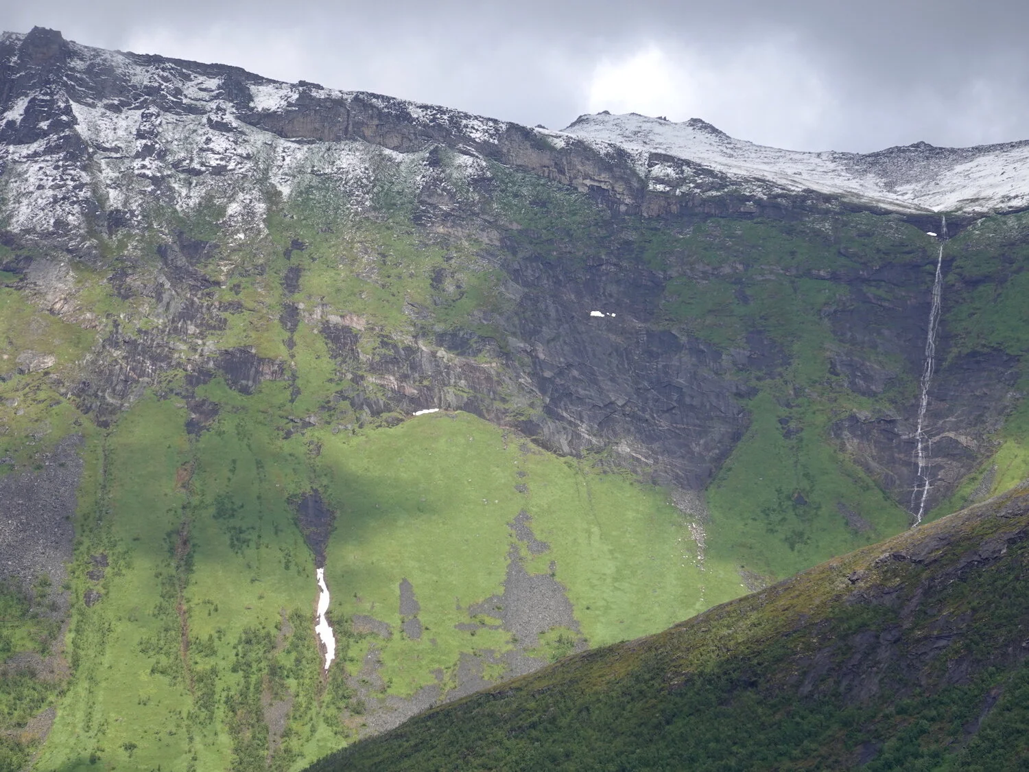
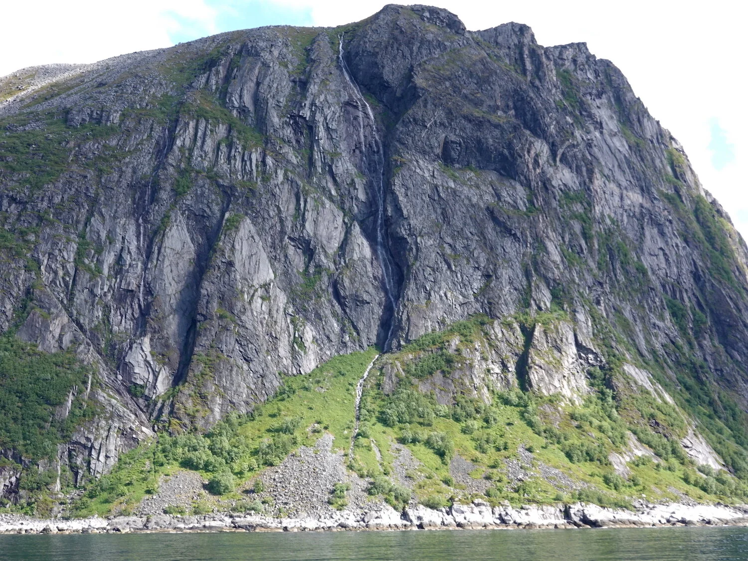
There were numerous large waterfalls that would show up from time to time on hikes, drives, and on boats
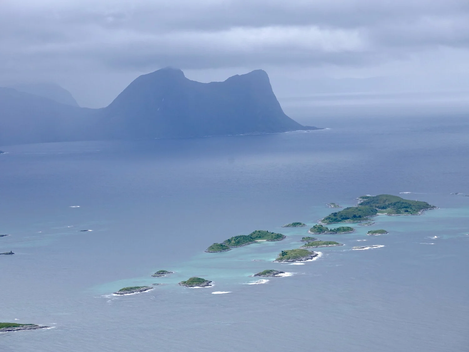
The next day we drove down to the town of Skaland and hiked up Husfjellet that provided nice views to the beautiful waters of the Bergsfjord.
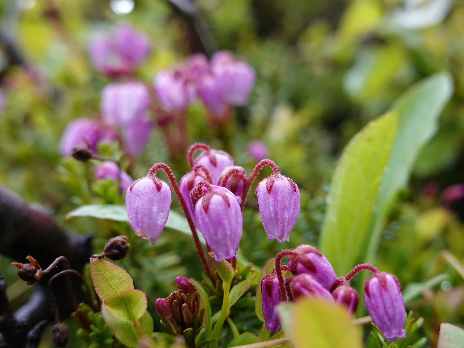
Of course I stopped to take a photo of a heather-like flower
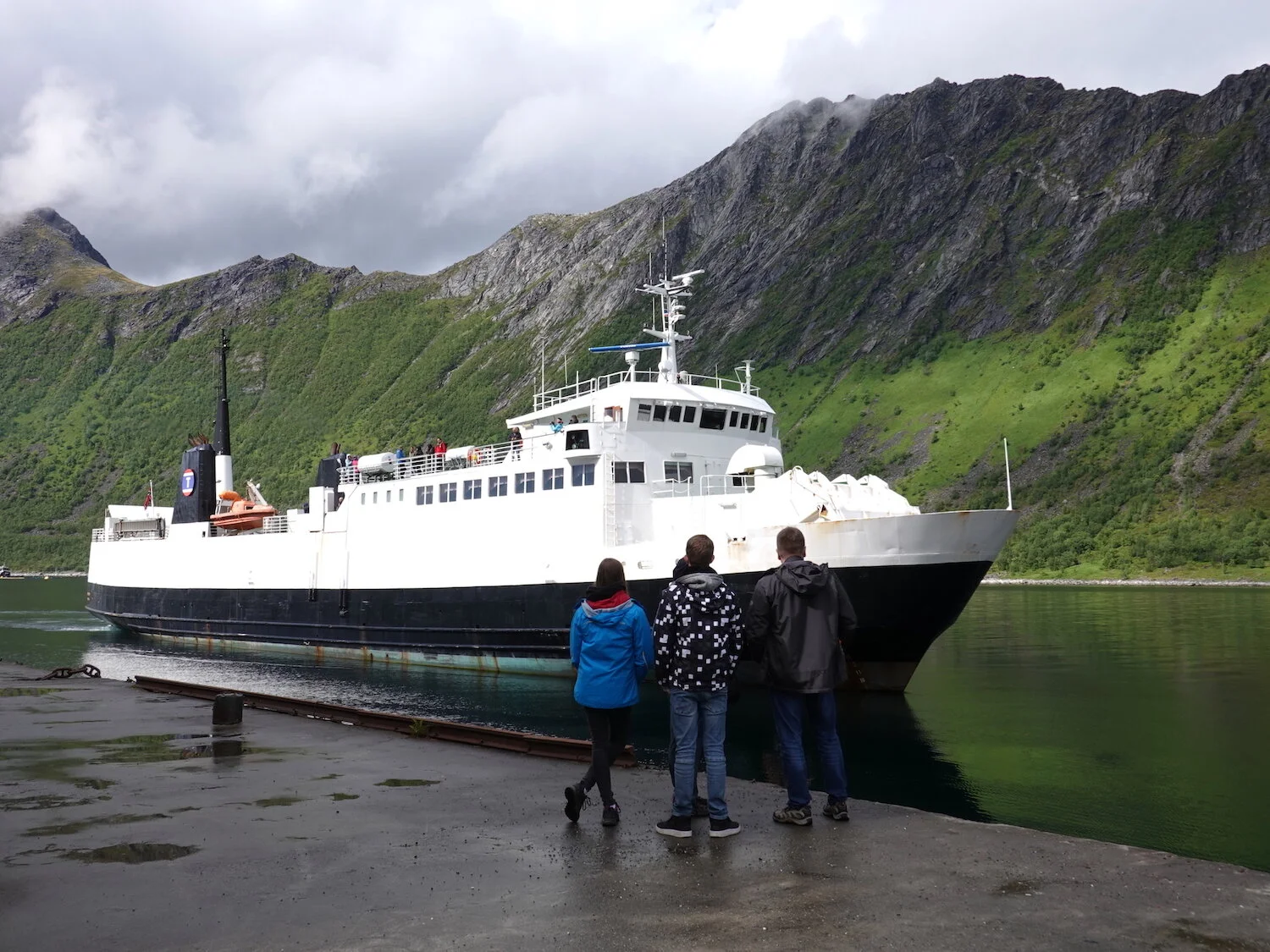
Waiting for the ferry to Andenes in Gryllefjord

A view from Husfjellet to the Oxhornan on one of those days where it looked like it might clear but it didn't on our hike
We drove over to Gryllefjord where we took the ferry across some rough open seas to the island of Andoya
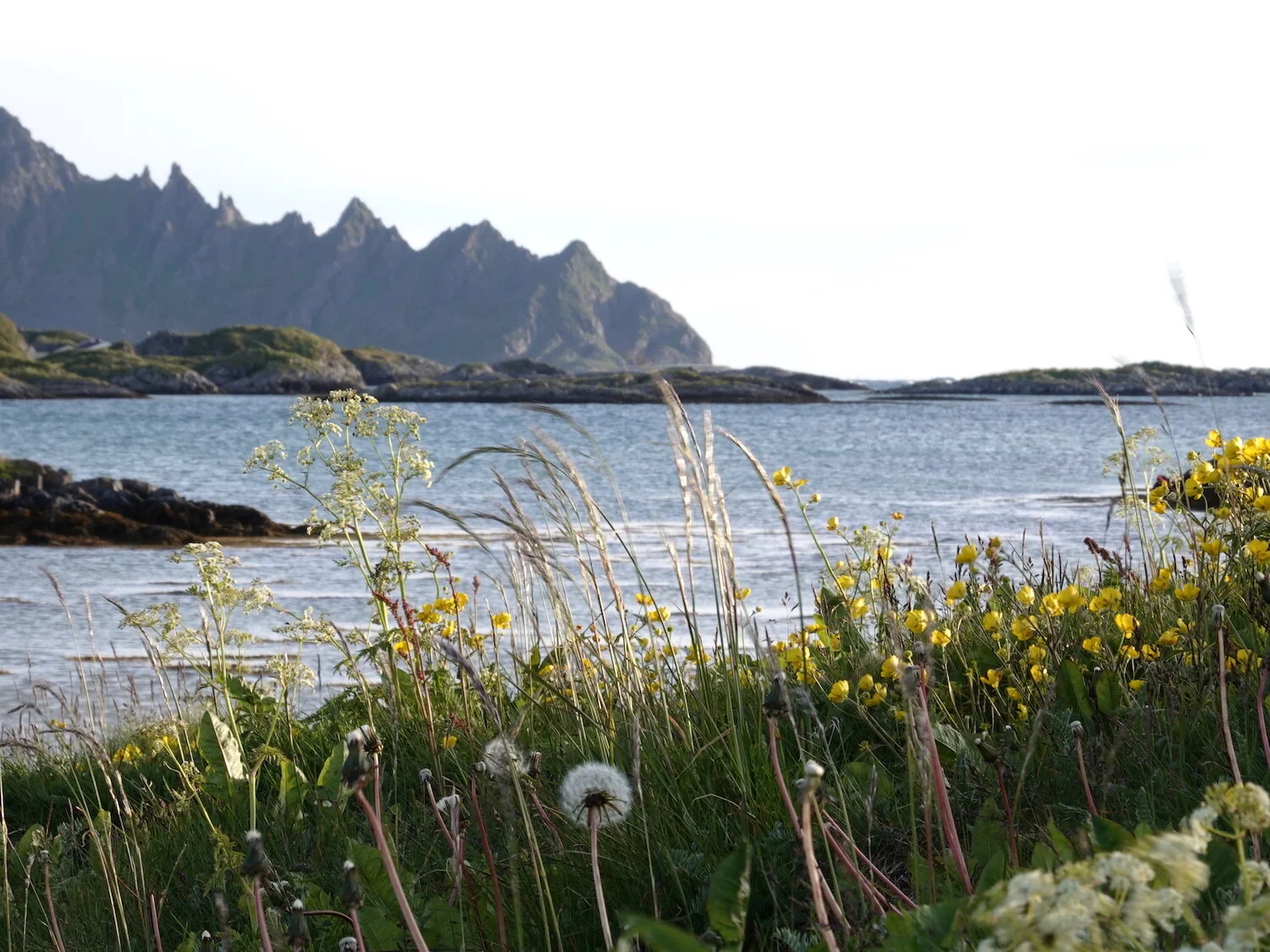
The weather cleared a bit as we arrived in the town of Andenes and did a hike along the beach after dinner
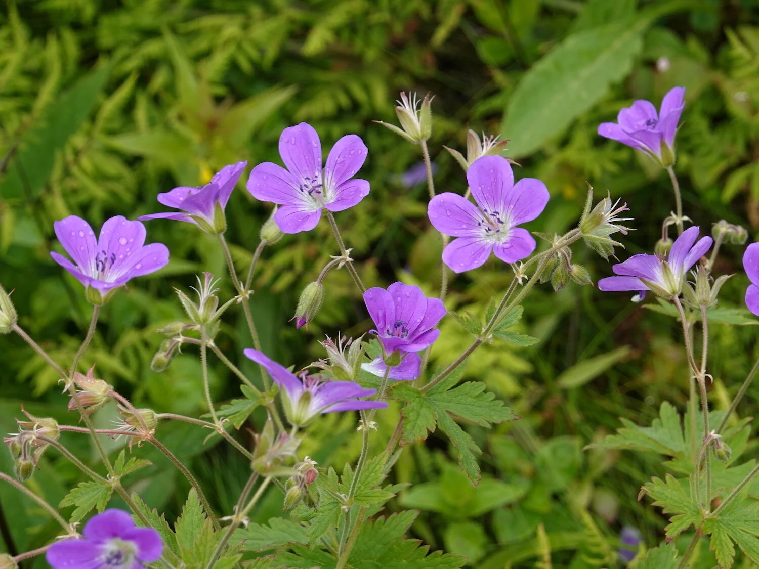
There were quite a few flowers at low altitude
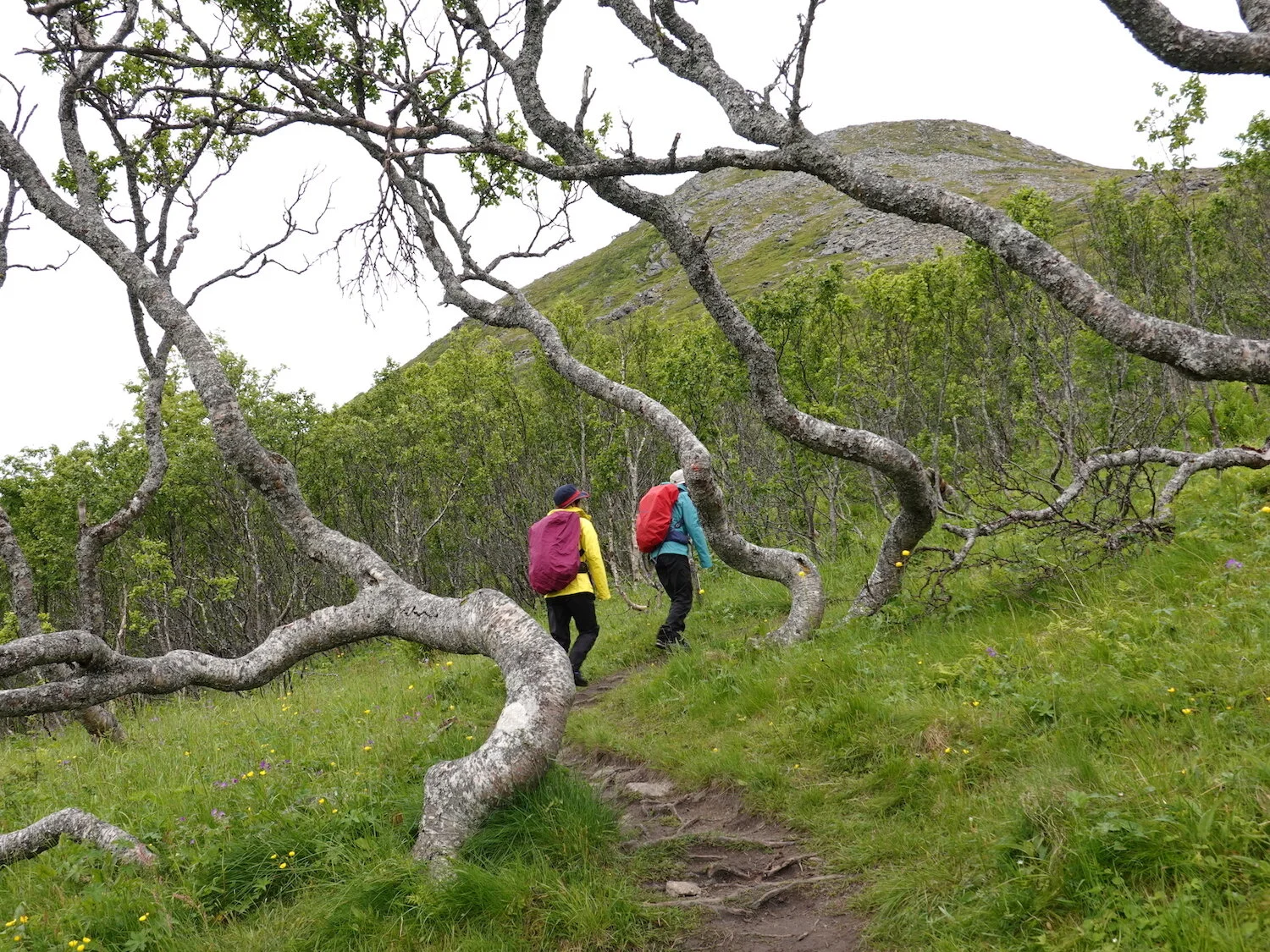
Hiking up though a forest of scrubby birch-like trees on Andoya
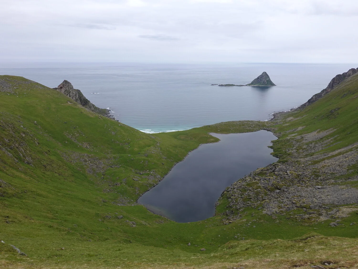
We started the next day with a hike up Matind and had some nice views before it started raining again for most of the rest of the day
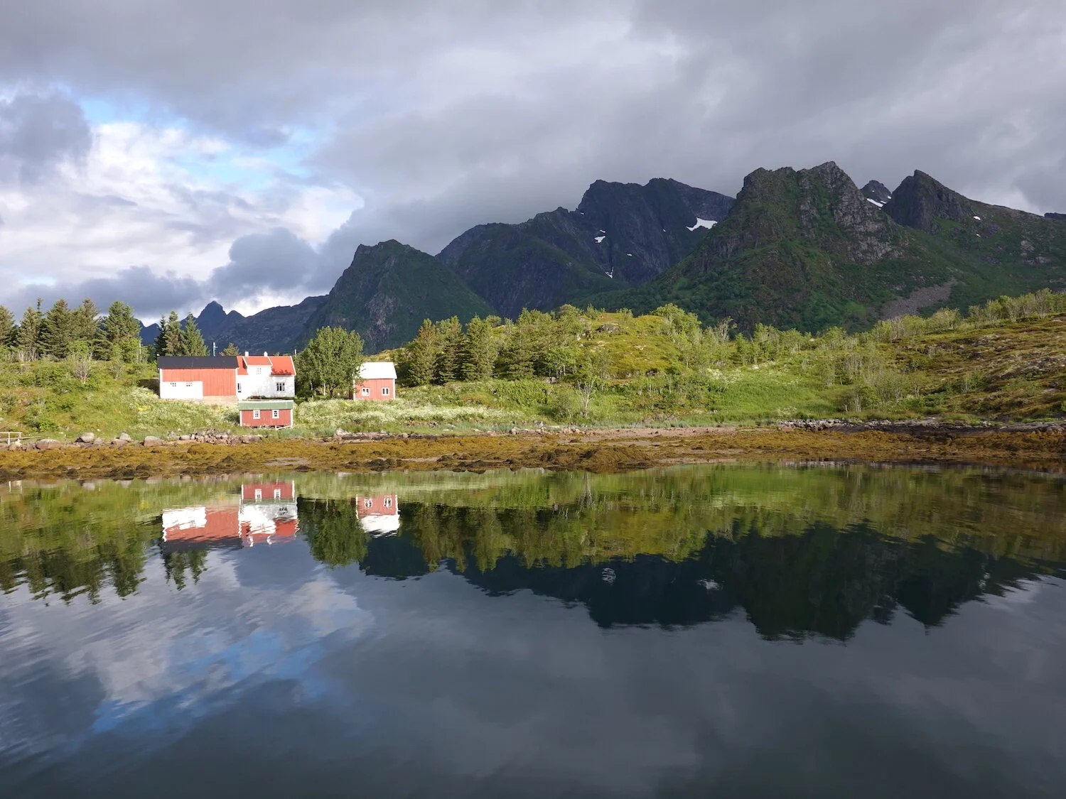
After crossing an island to island bridge and driving through an undersea tunnel or two we arrived at the town of Storvagen to a clearing. We were now in the Lofoten Islands
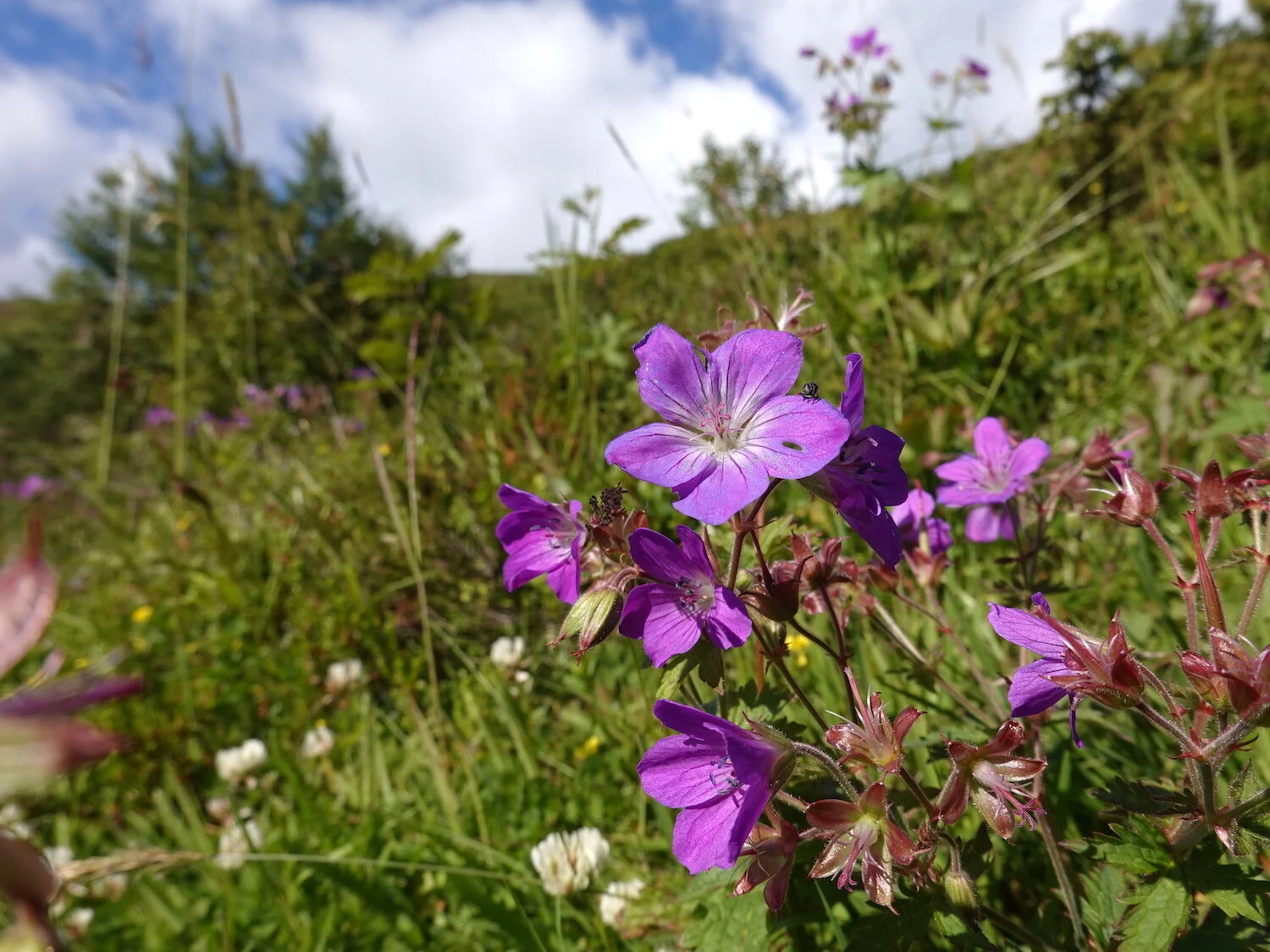
The next day was the first really nice day and we started to hike up Offersoykammen
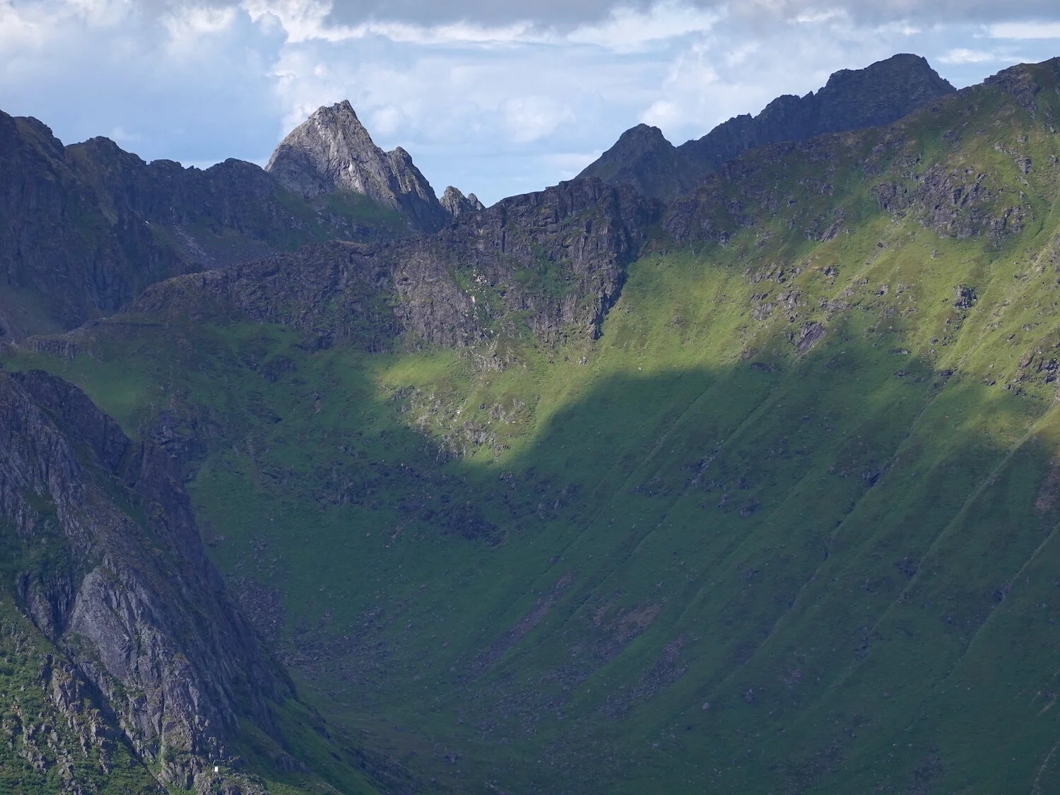
Offersoykammen had great views to offer
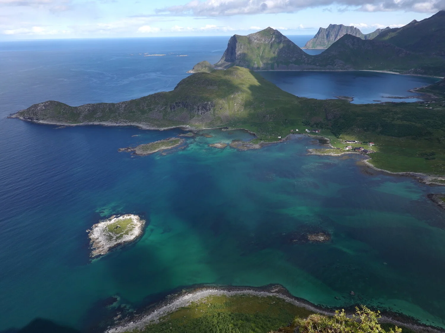
Offersoykammen is almost an island
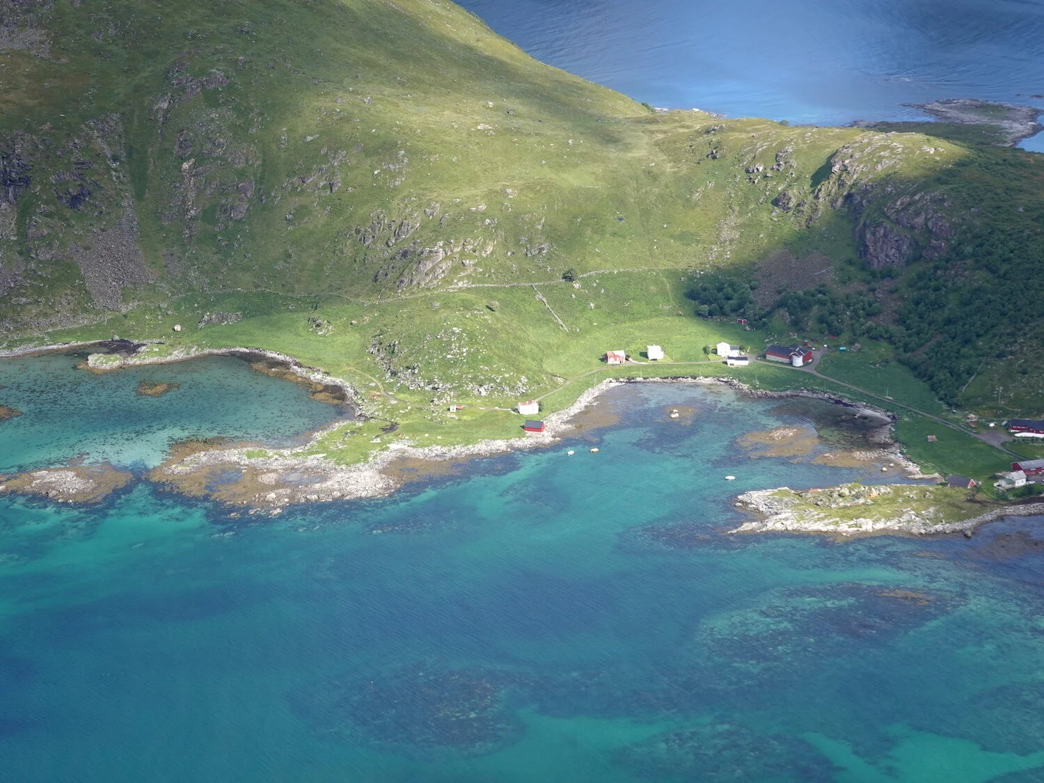
A small settlement on the other side of the bay

A view across the fjord to what I think may be Himmeltinden, the highest peak on Vestvagoy island
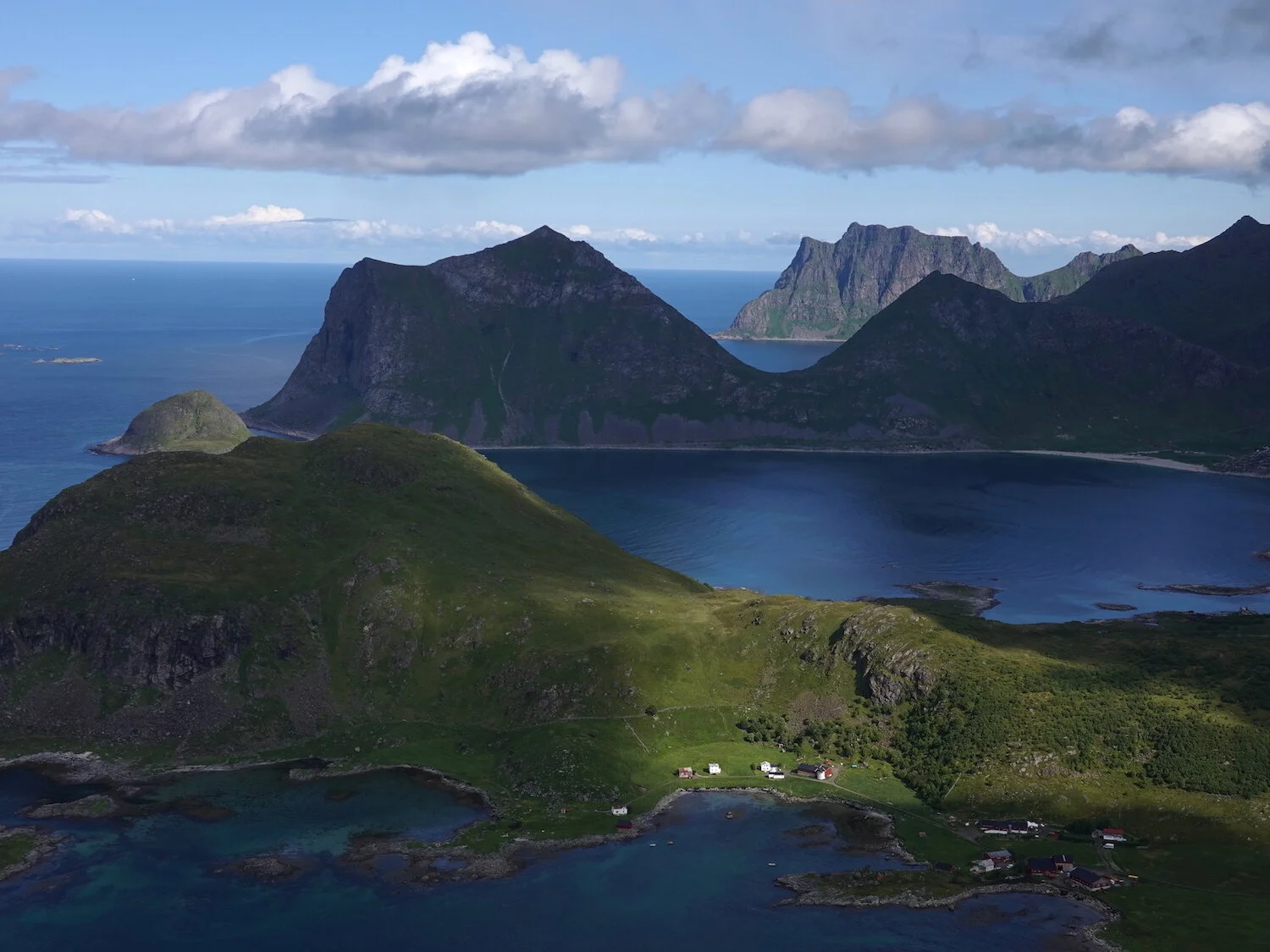
The trail up Offersoykammen was steep and relatively short
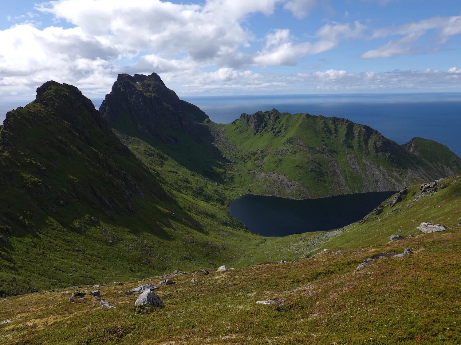
Since it was a long day, we couldn't resist to head out for a second hike to Nonstind from the small town of Unstad.
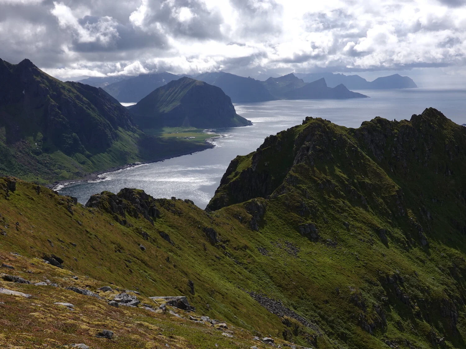
The only hikers we saw on the way up Nonstind were a couple Norwegian surfers who were spending a week at Unstad and took advantage of calm surf conditions to climb the local mountain

Looking over toward the town of Leknes from the summit of Nonstind
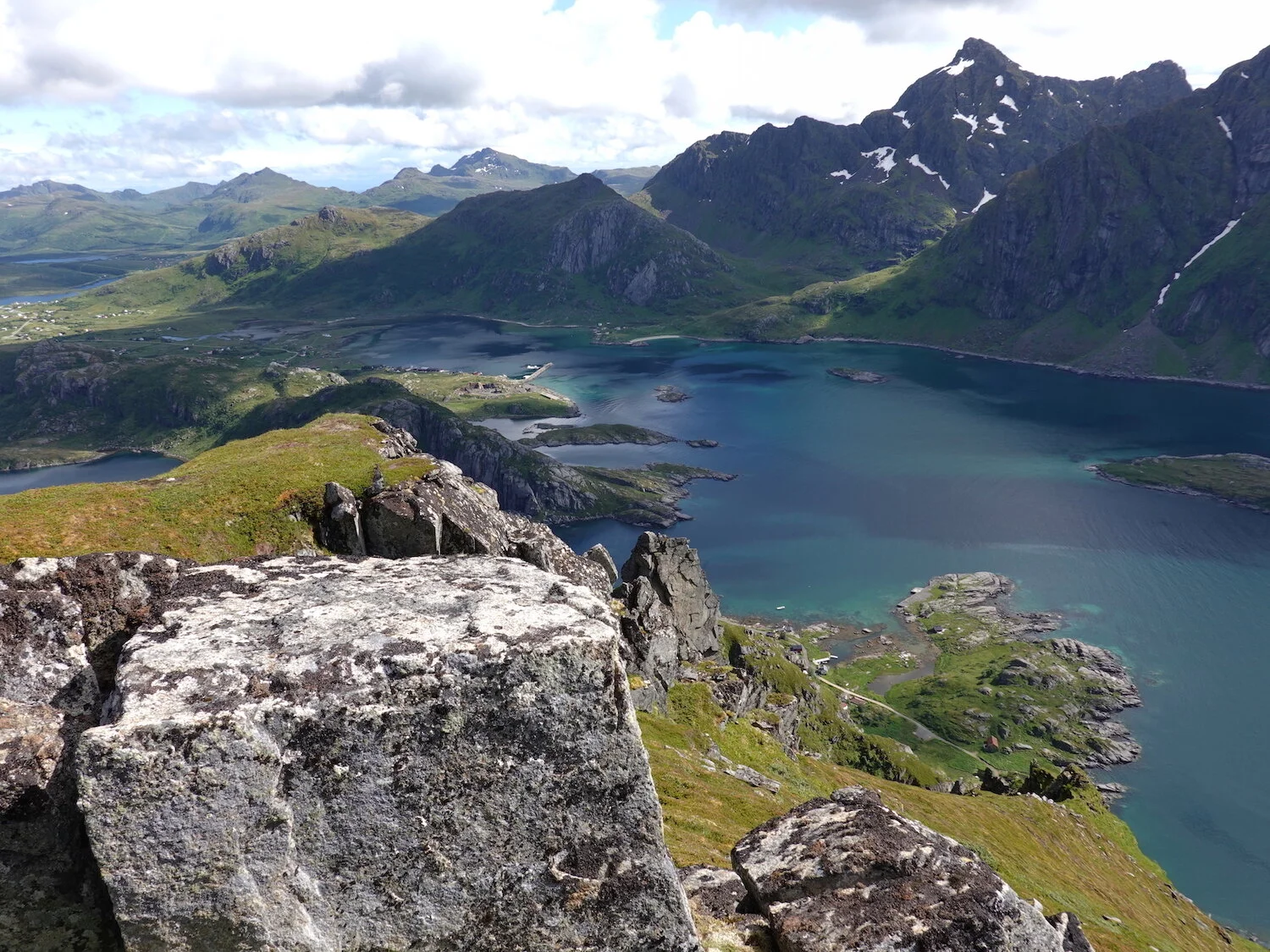
Surrounded by water
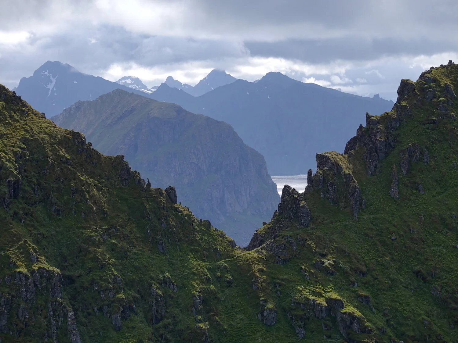
A view over toward the island of Flakstad from Nonstind
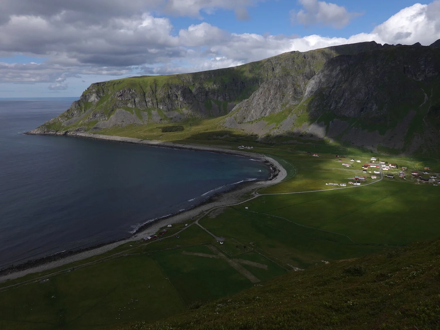
The small community of Unstad and the beach popular with surfers from the top of Nonstind
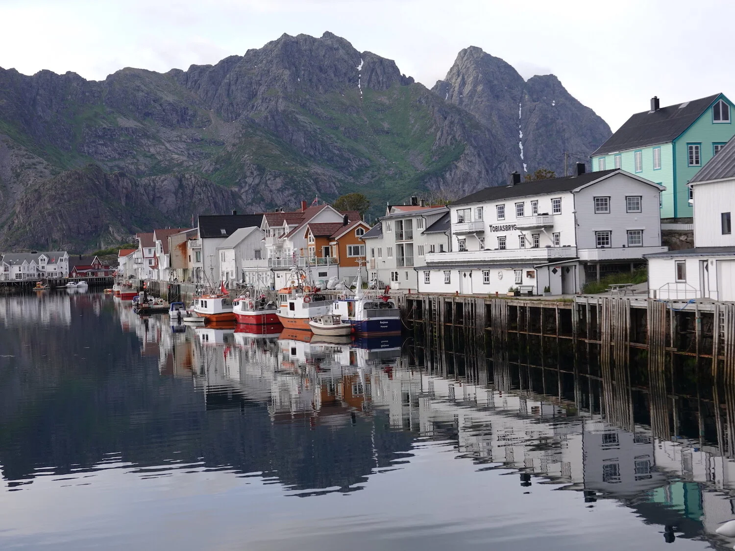
After Nonstind, we drove back over to the fishing village of Henningsvaer on Austvagoya

An evening view from Henningsvaer down toward the islands of Flakstad and Moskenes
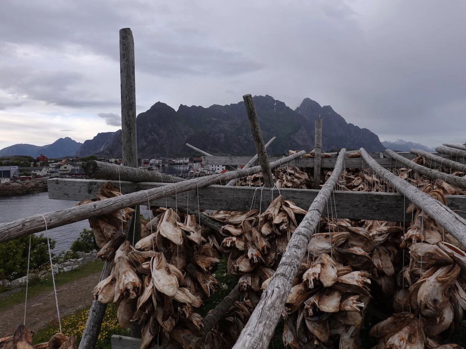
A cod head drying rack in Henningsvaer
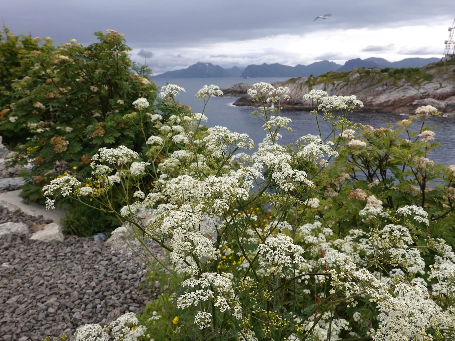
Henningsvaer botanicals
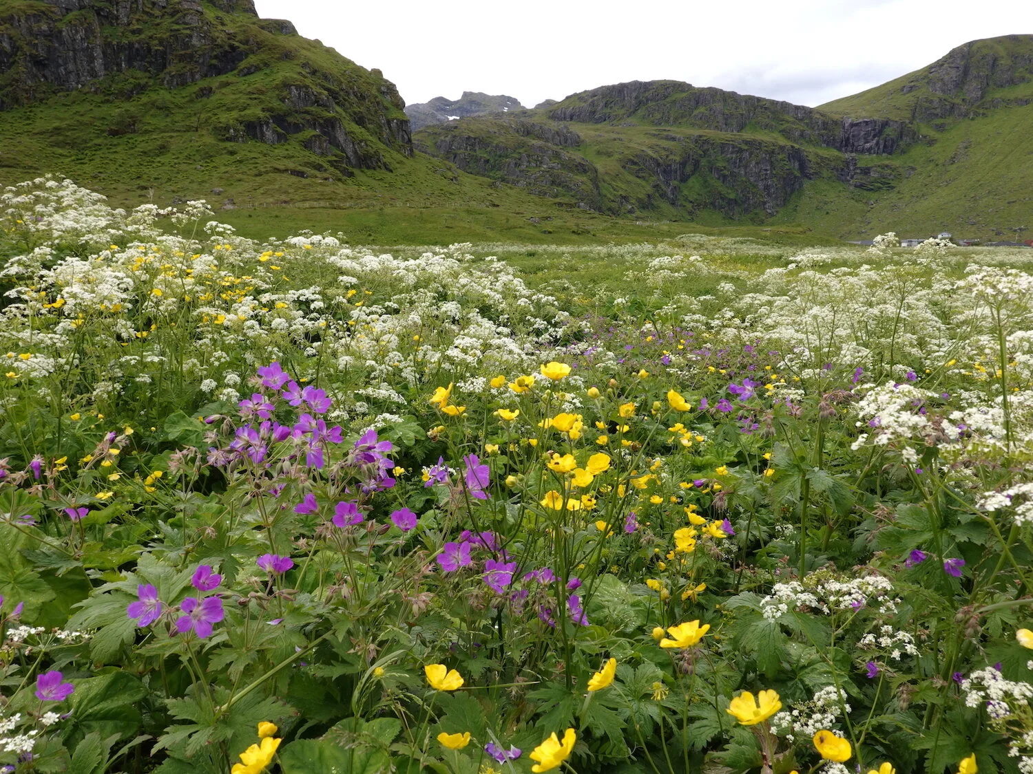
The next morning we drove over to the island of Moskenes and started a hike up through flower fields to Ryten

A view back toward Nonstind over part of the town of Fredvang
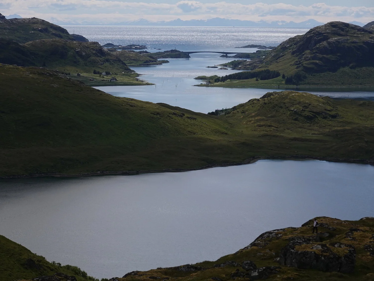
A view down the way to one of the inter-island bridges.

A flower that looks like Arctic cotton on the route up to Ryten
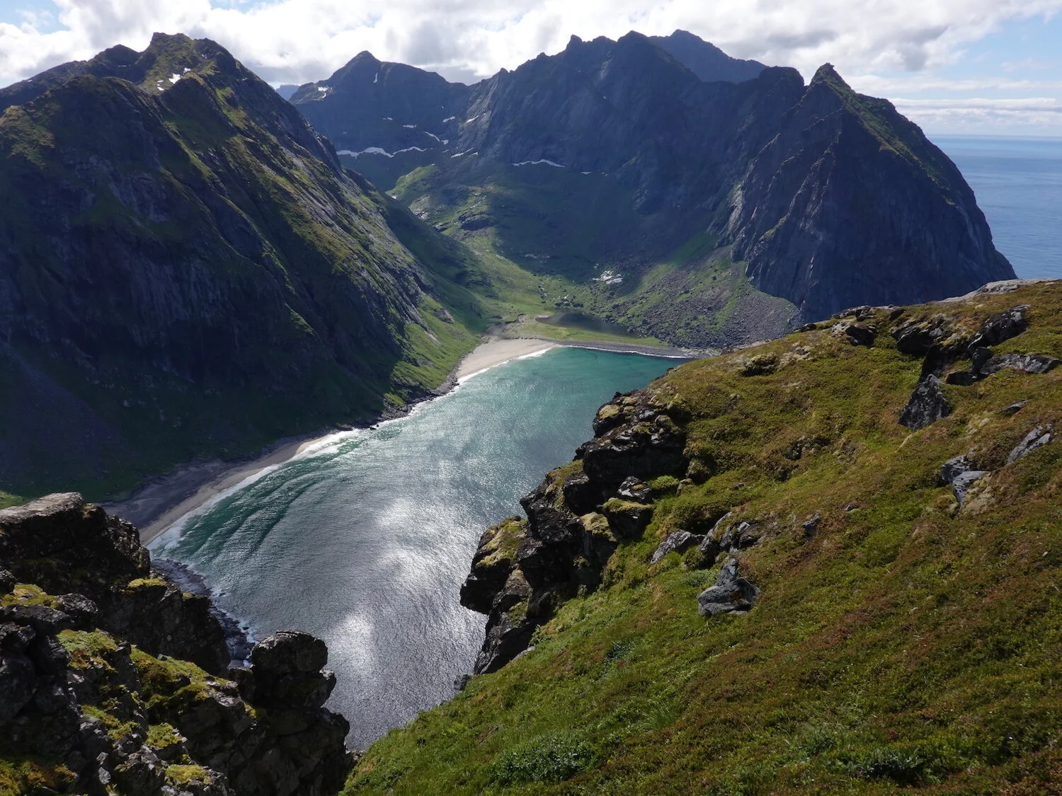
The view from Ryten down to Kvalvika beach has been popularized by a ton of photos on Instagram of a an overhanging cliff that makes you look like you are flying above the beach. My hiking companions refused to wait in line to stand at the Instagram perch.
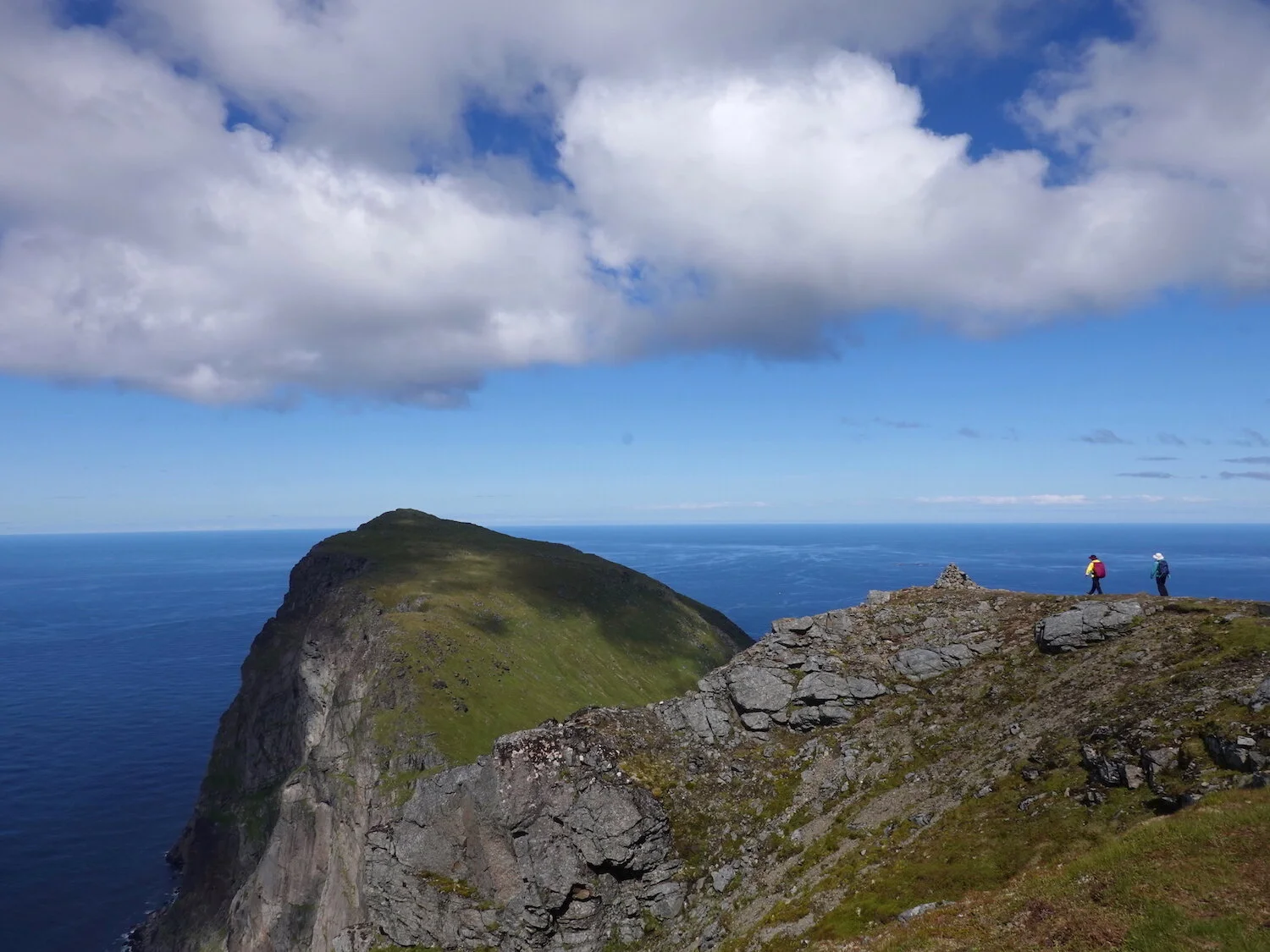
There were so many people near the summit of Ryten that we walked over to a neighboring hill for lunch.
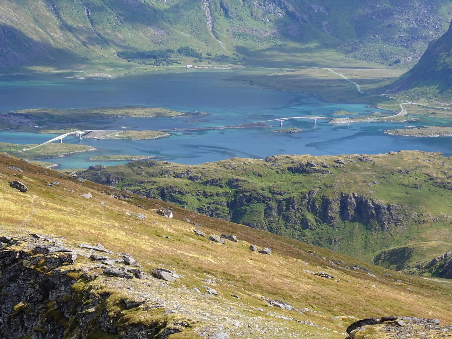
The bridge from Flakstad over to Fredvang. Norway has invested heavily in their infrastructure so that there are bridges or undersea tunnels to really small towns such as Fredvang. This is a much smaller town compared to what the famed "Bridge to Nowhere" out of Ketchikan would travel to.
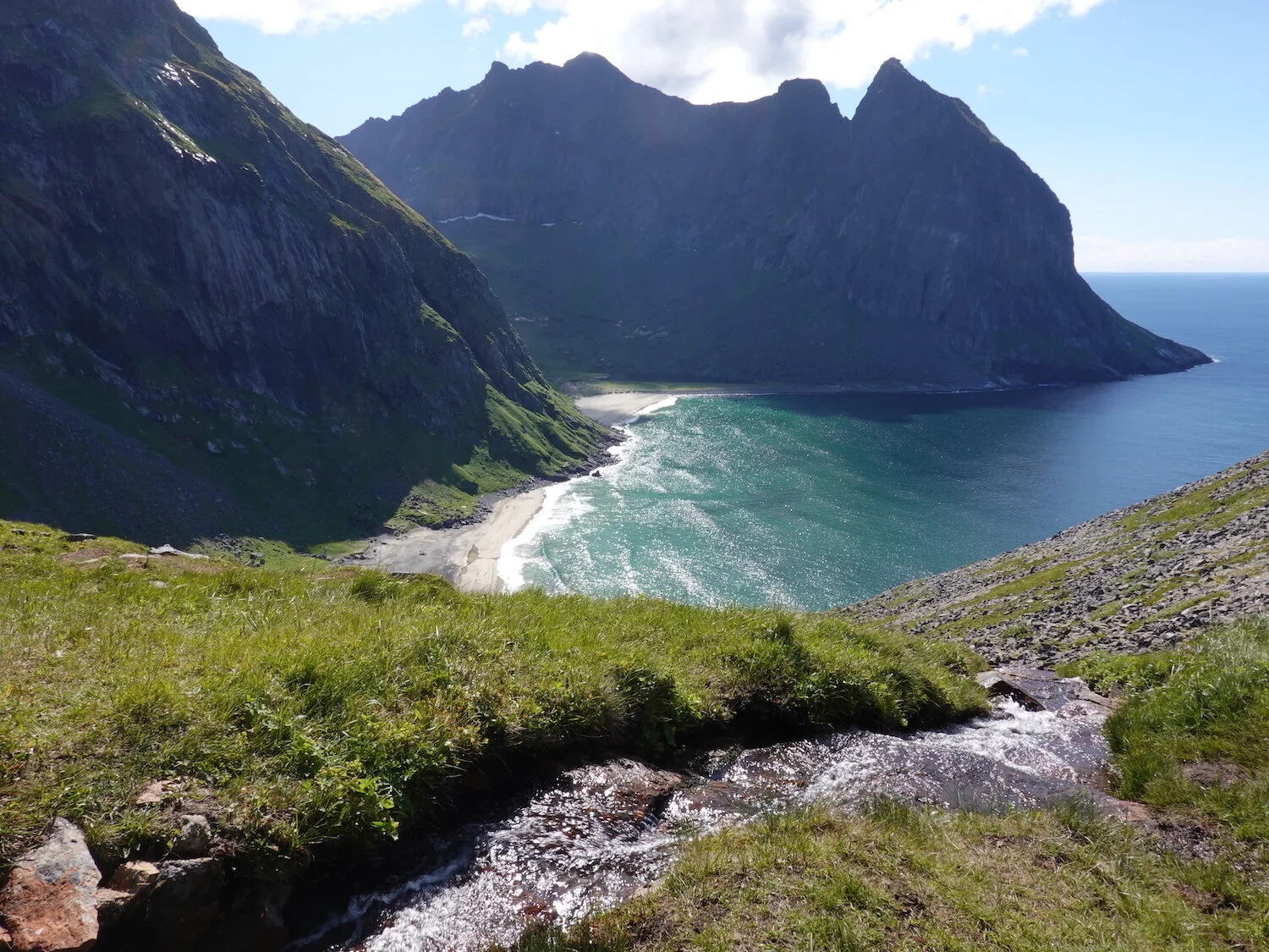
We hiked down out of our way a bit to get another view of Kvalvika beach
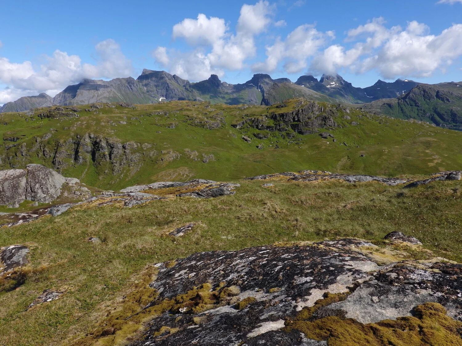
The rugged island of Flakstad viewed from near the summit of Ryten
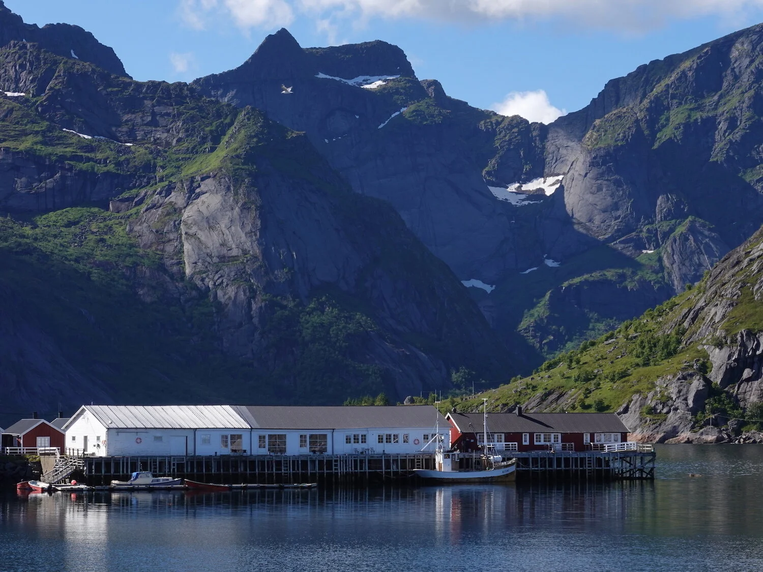
After Ryten we drove down to the fishing village of Reine on Moskenes island
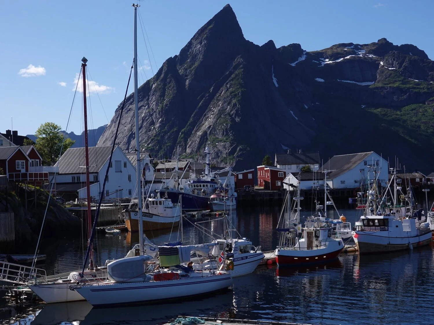
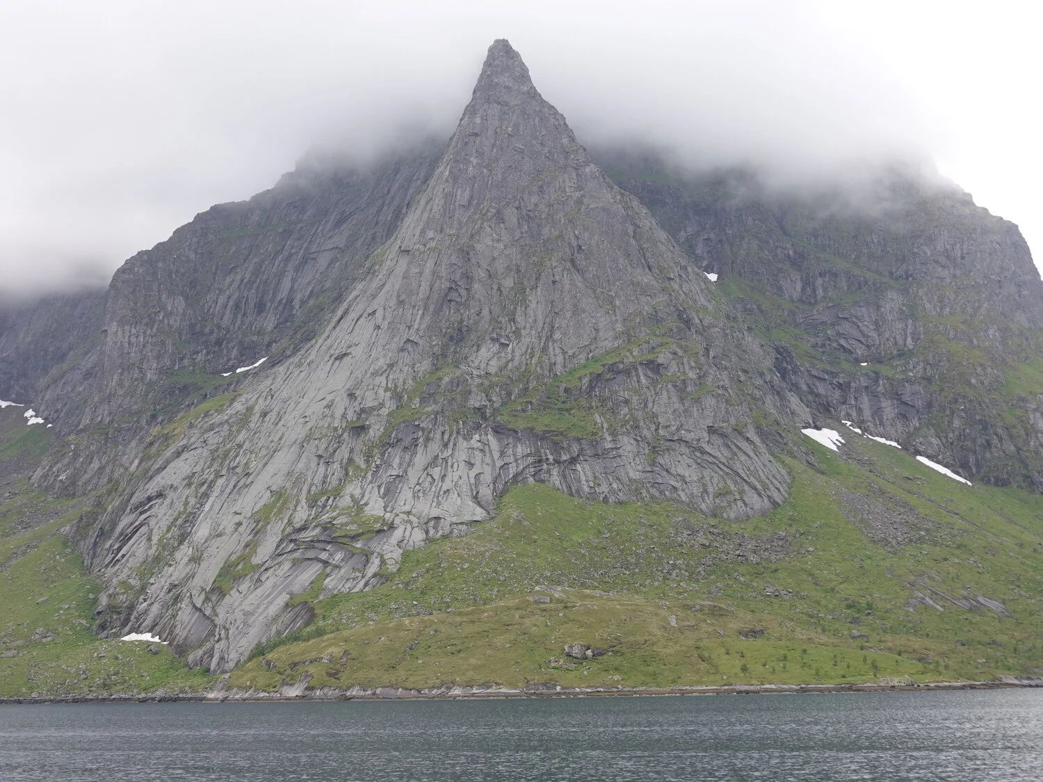
The comically steep peak of Olstinden viewed from one of the small fishing villages in Reinefjord

The peaks in the Lofoten islands rise right up out of the ocean.
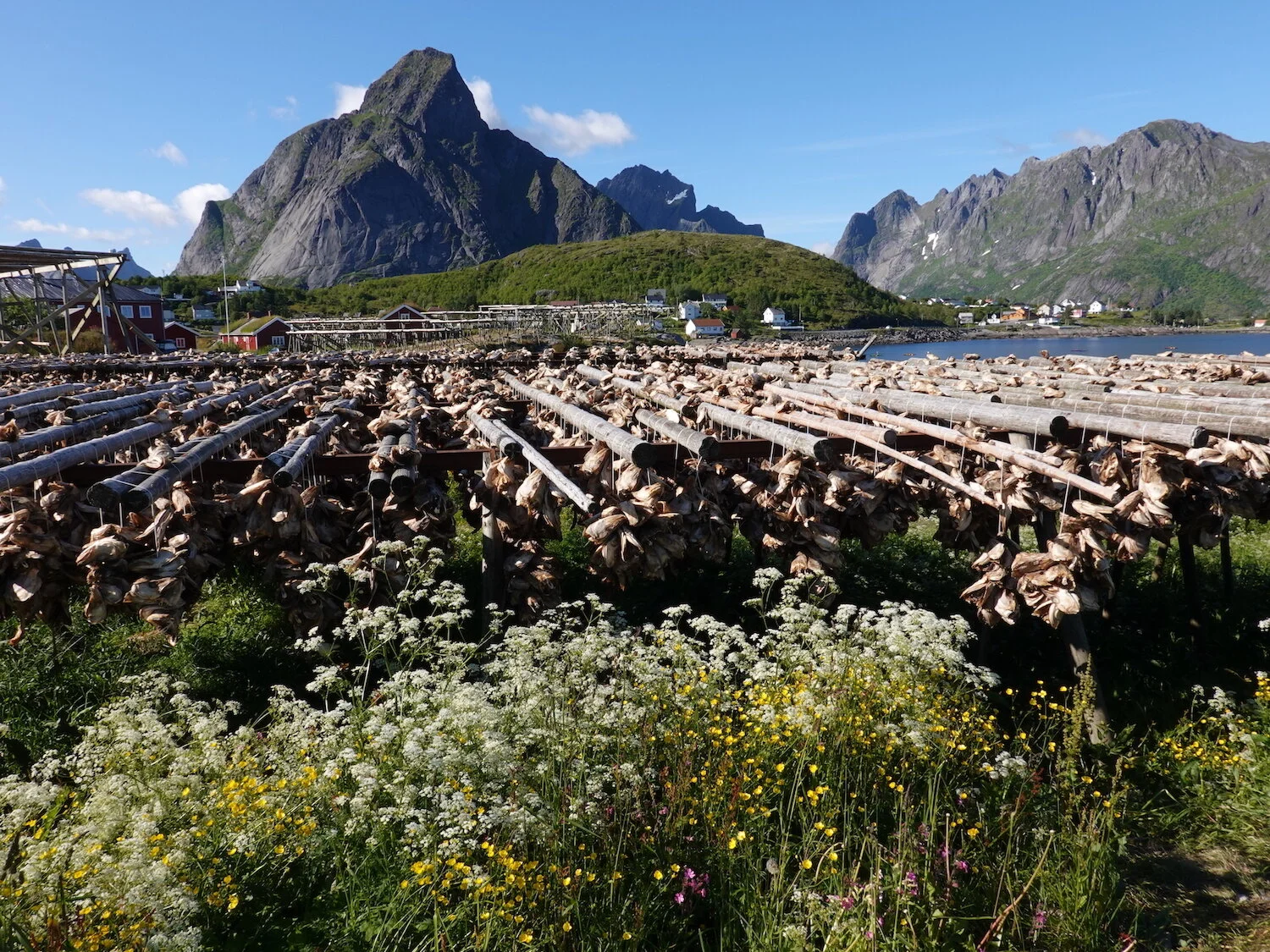
Cod drying racks while hiking about on one of the small islands in Reinefjord
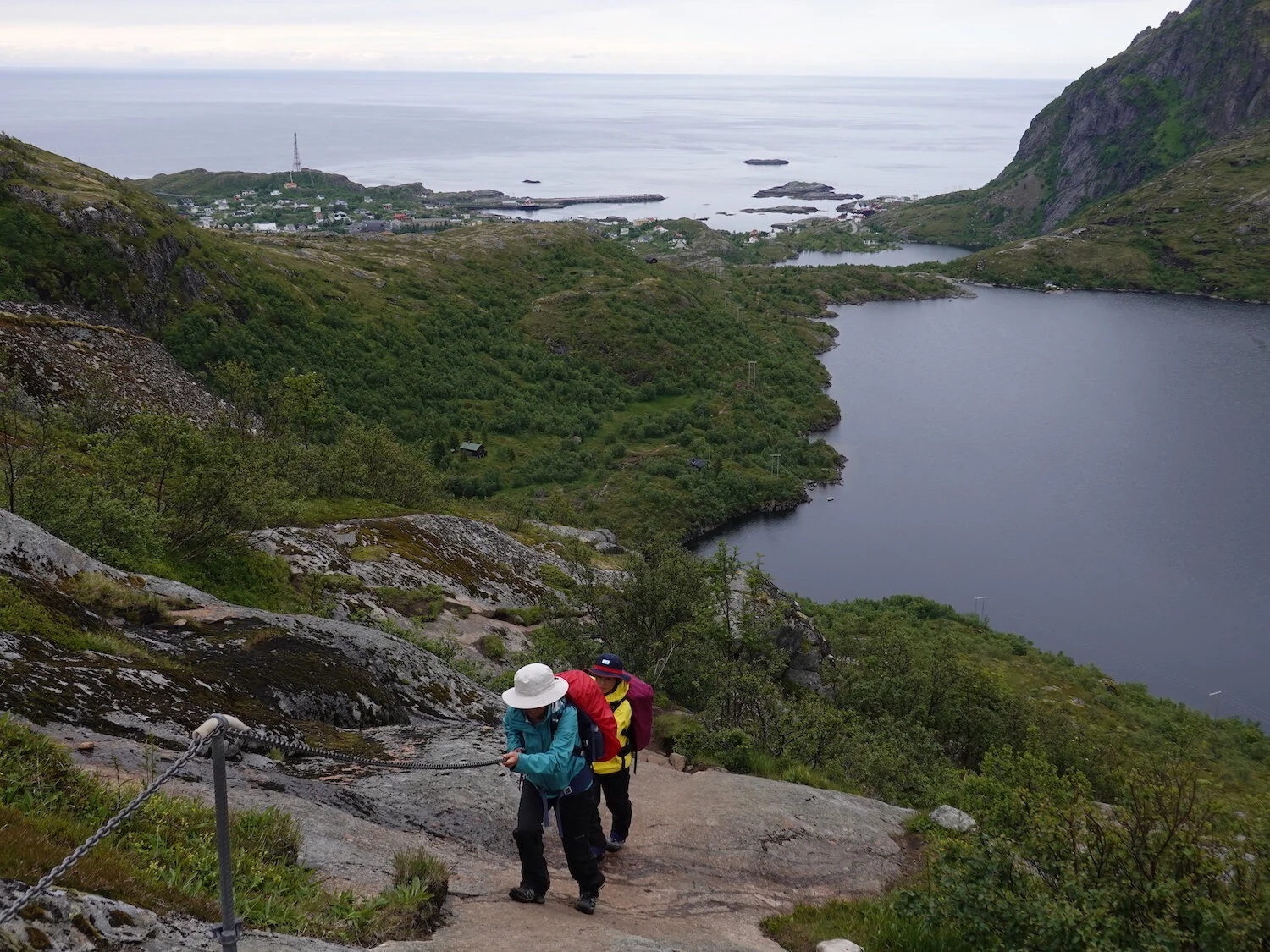
Junko and Hiroko hiking up a cable on a slippery and wet slope on the hike up to Munken
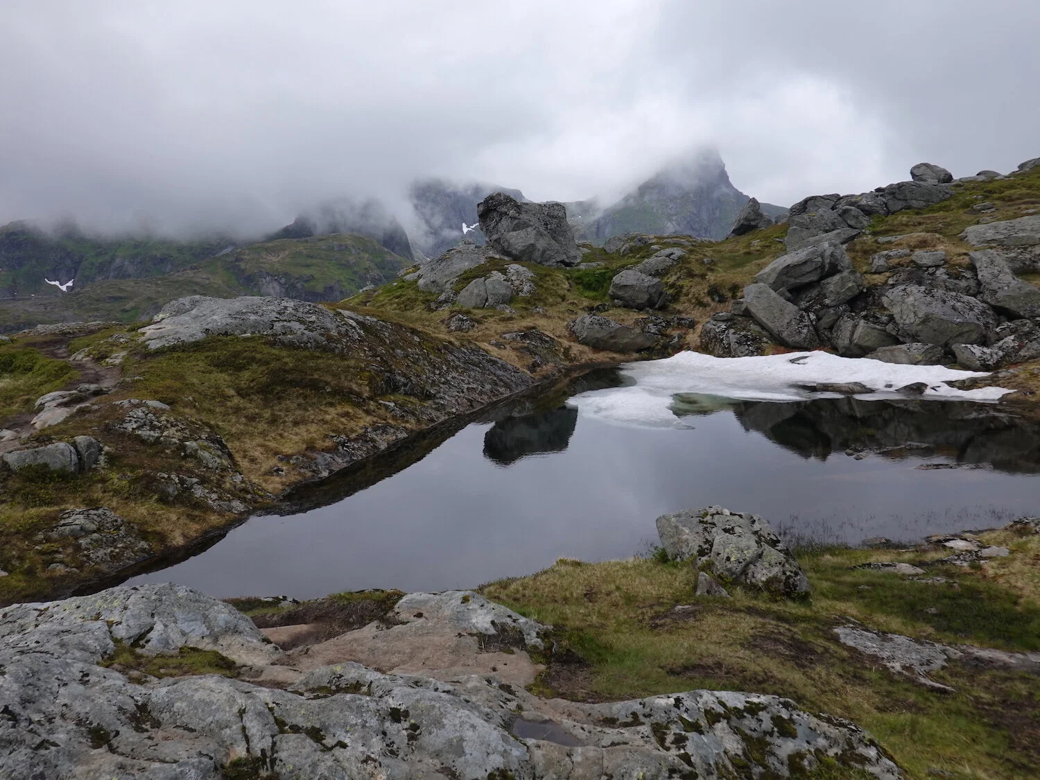
Alpine tarn in the mists
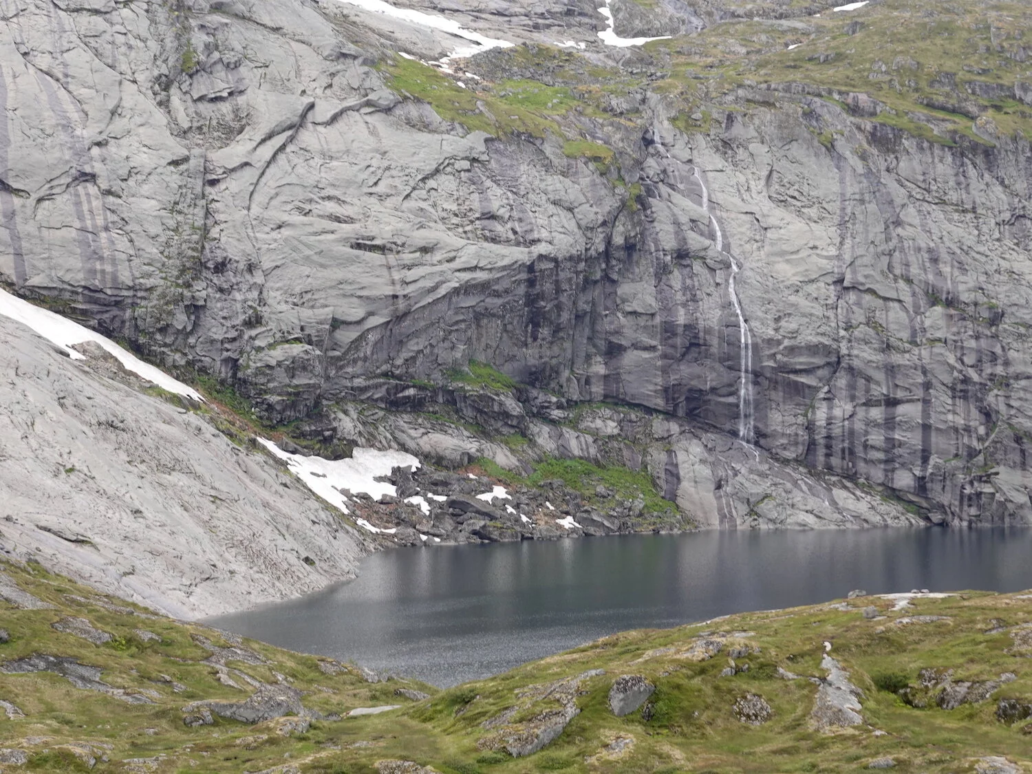
Steep creek above lake
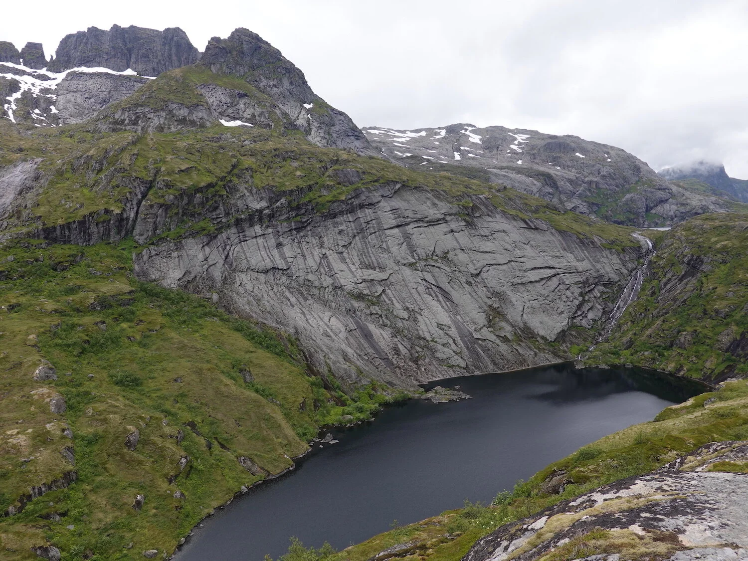
It was one of those days where it might clear. It didn't, but at the same time, it never rained too hard.
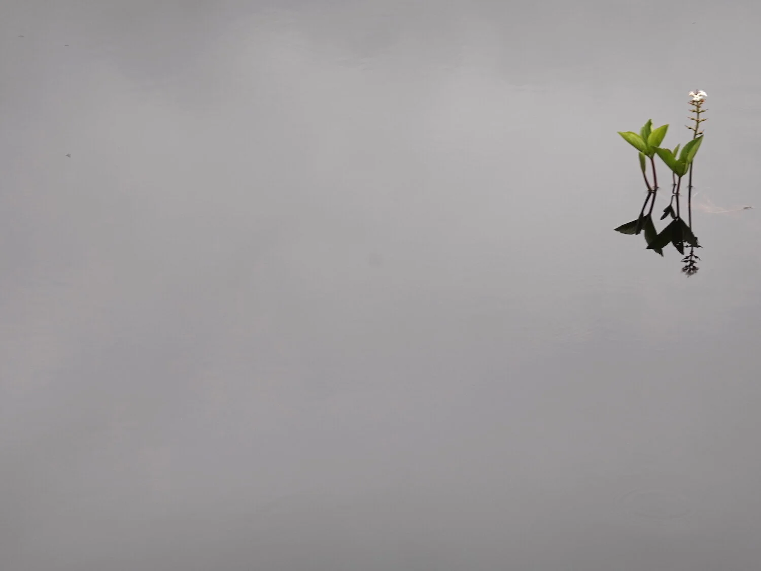
Alpine tarn along the trail to Munken
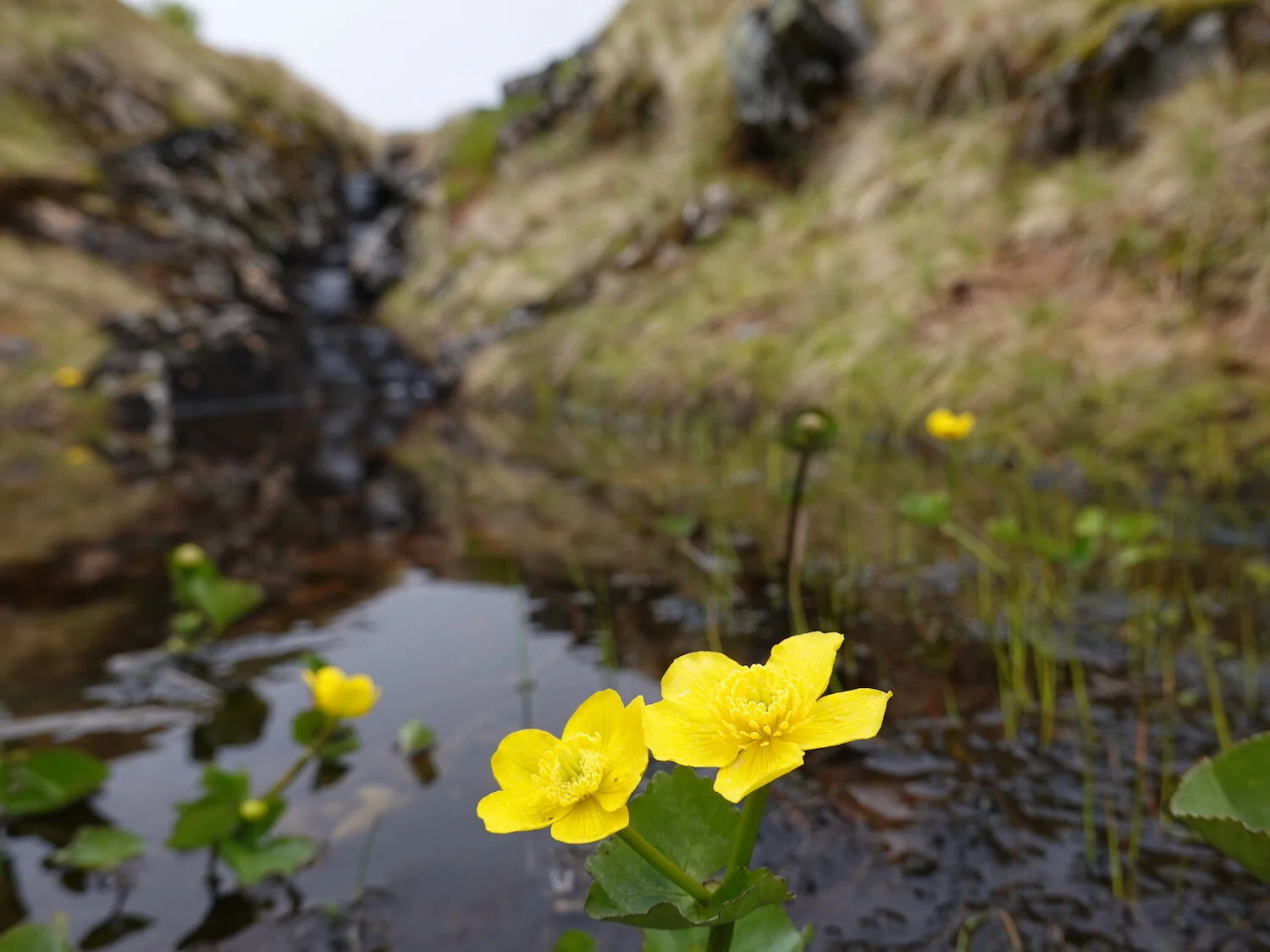
Pool with wildflowers
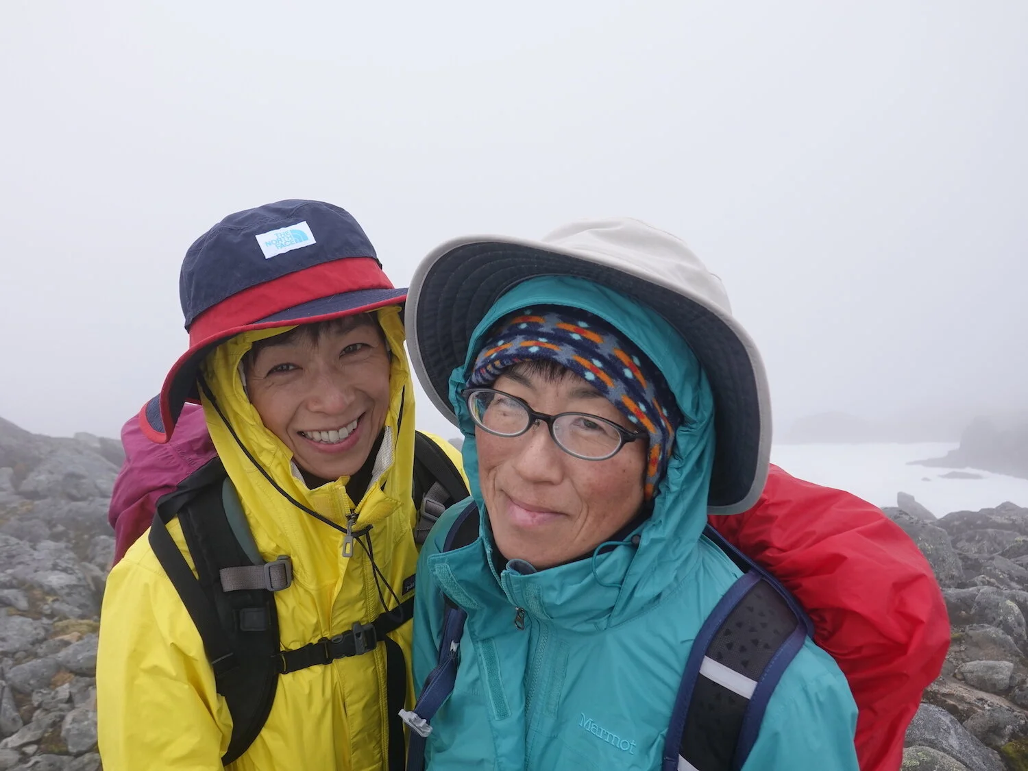
Junko and Hiroko on the summit of Munken
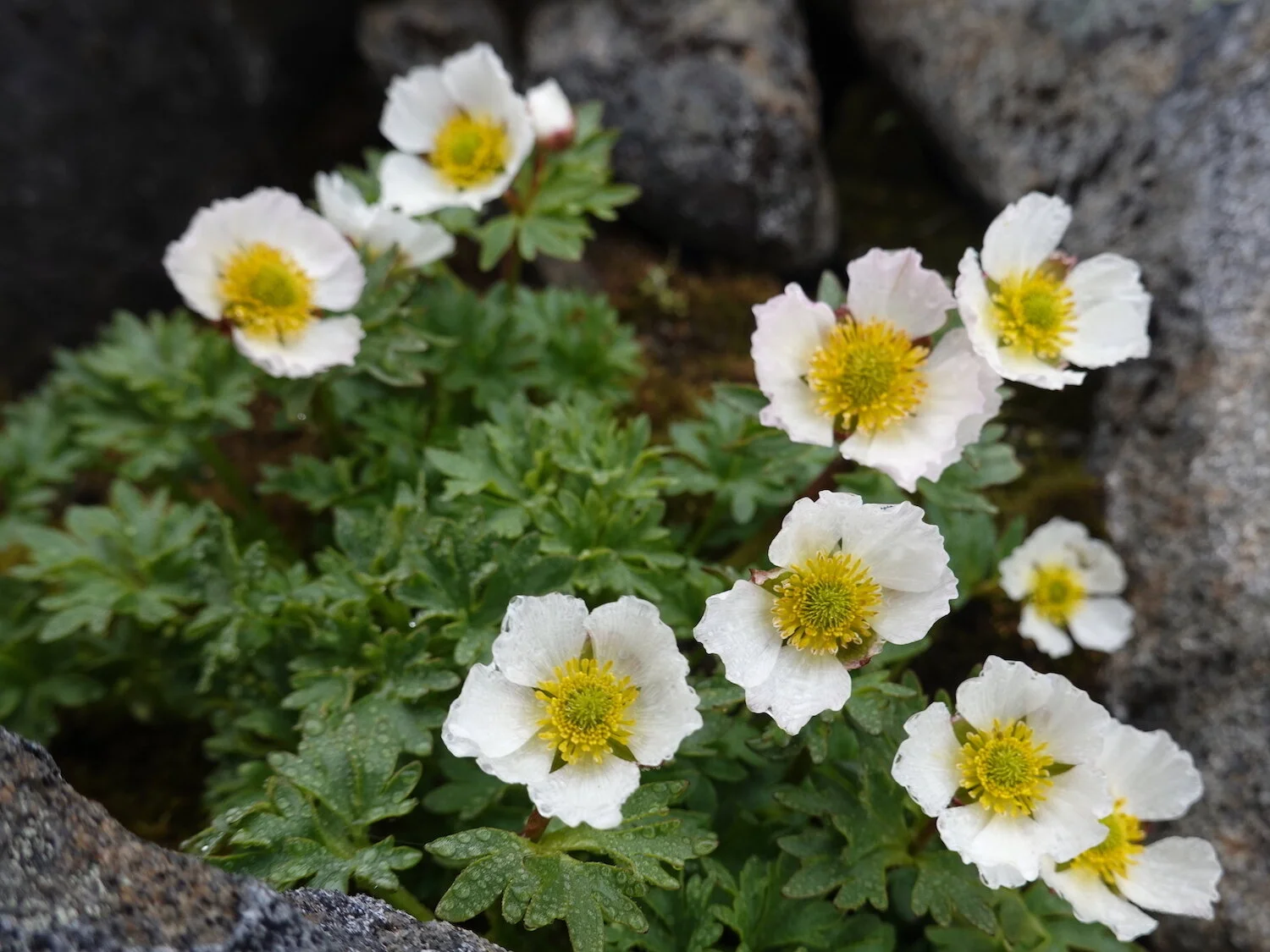
Buttercup-like flowers just below the top of Munken. There is a great view down to Reinefjord from here, but we couldn't see more than a 100 meters in the fog.
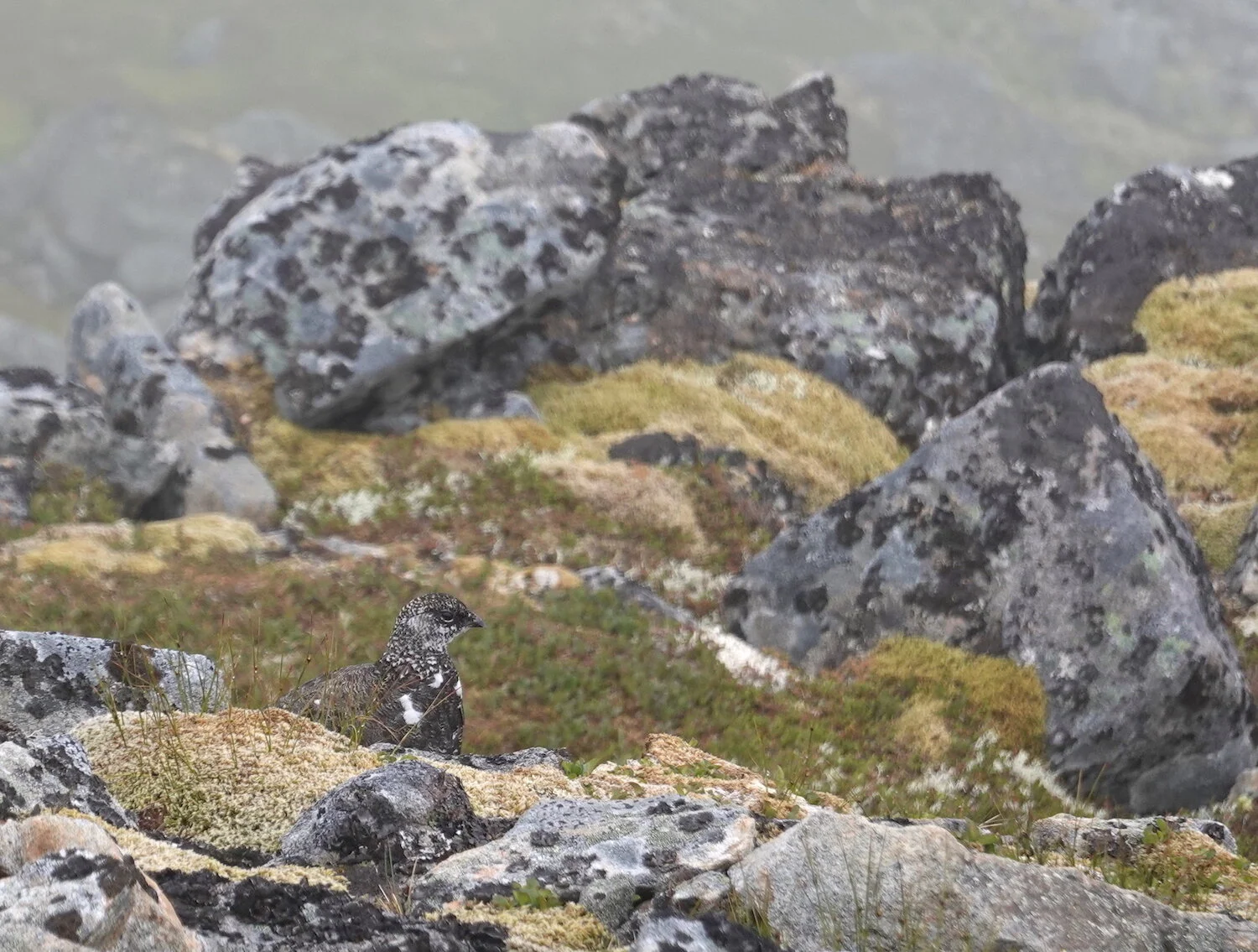
A ptarmigan on the hike back down from the top
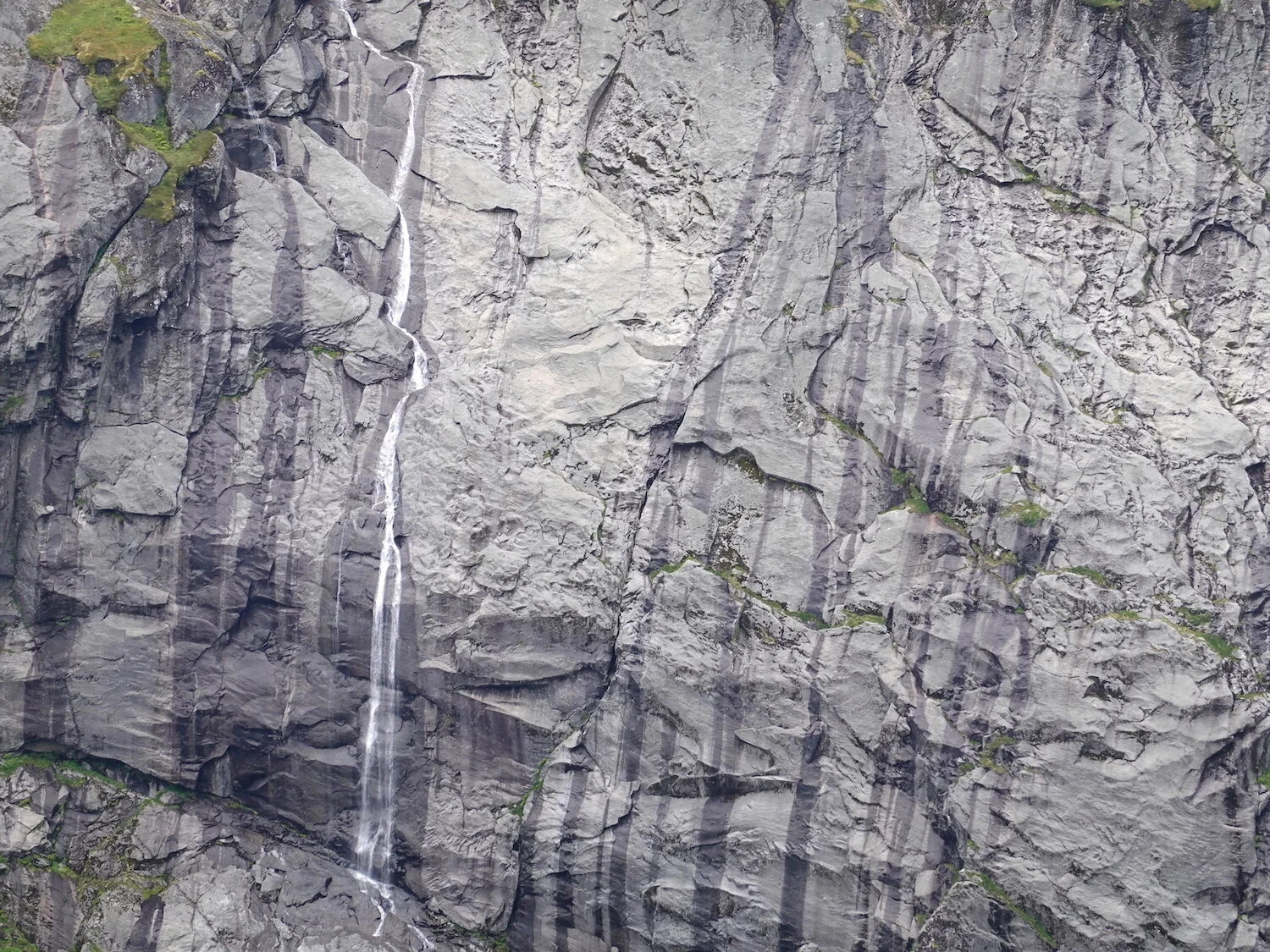
You know its a steep slope when its not green

Arctic cotton-like morning hair
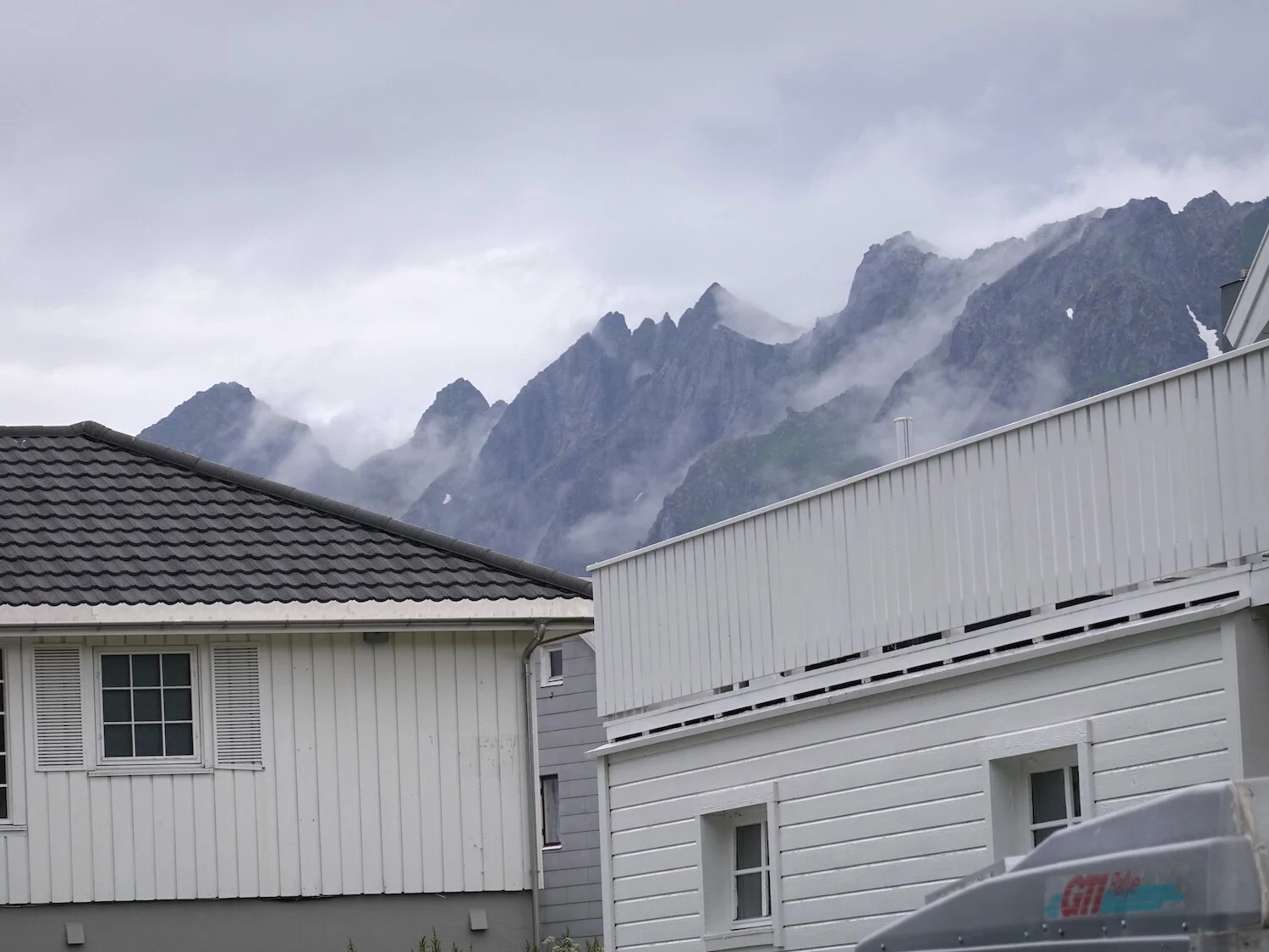
Fog on the peaks above the rooftops of Reine
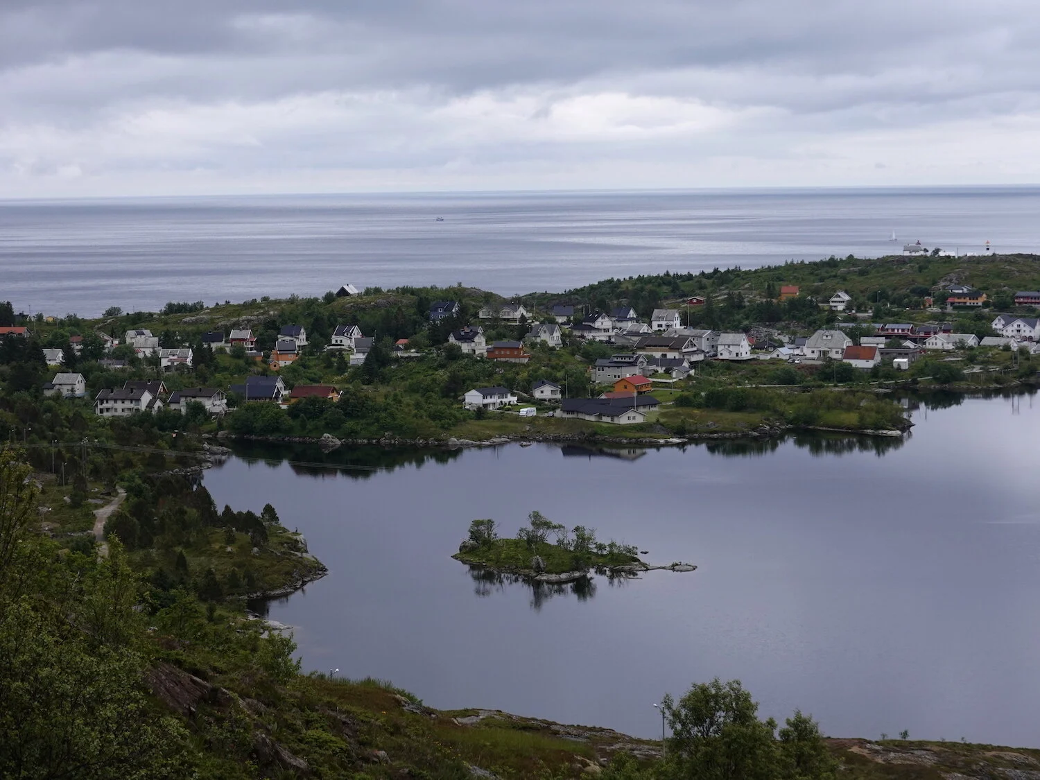
Lake and ocean and almost back to the car

Kelp forest in the shallows
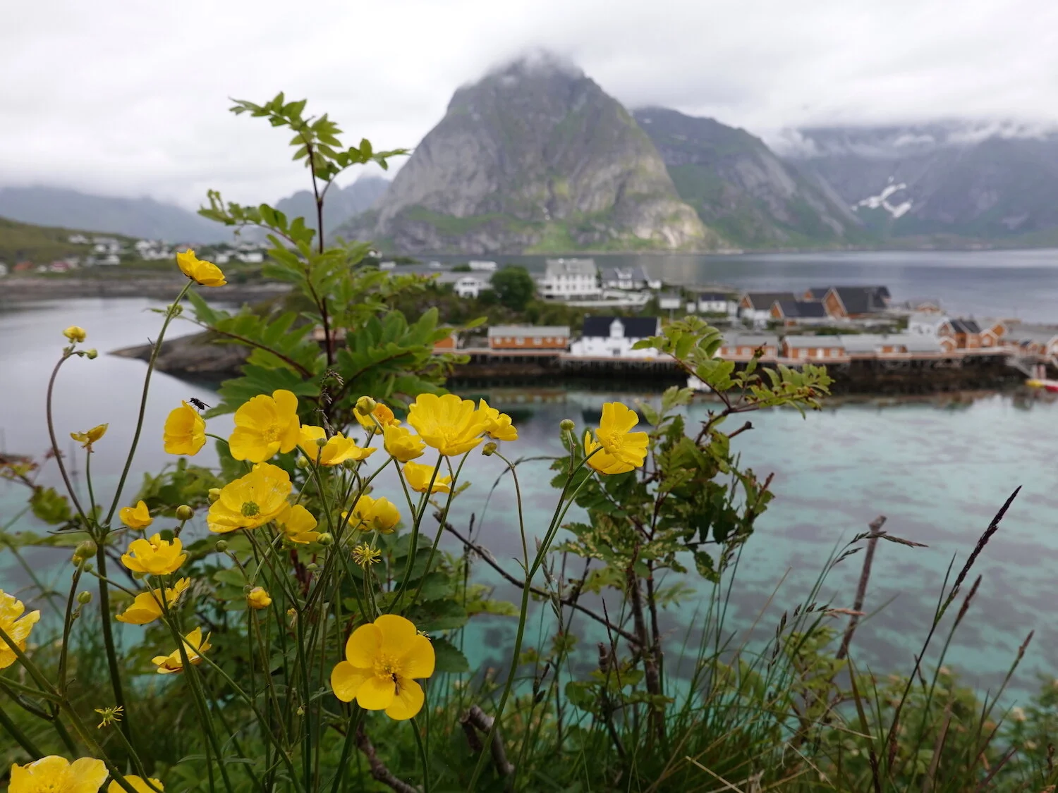
Sakrisoya near Reine
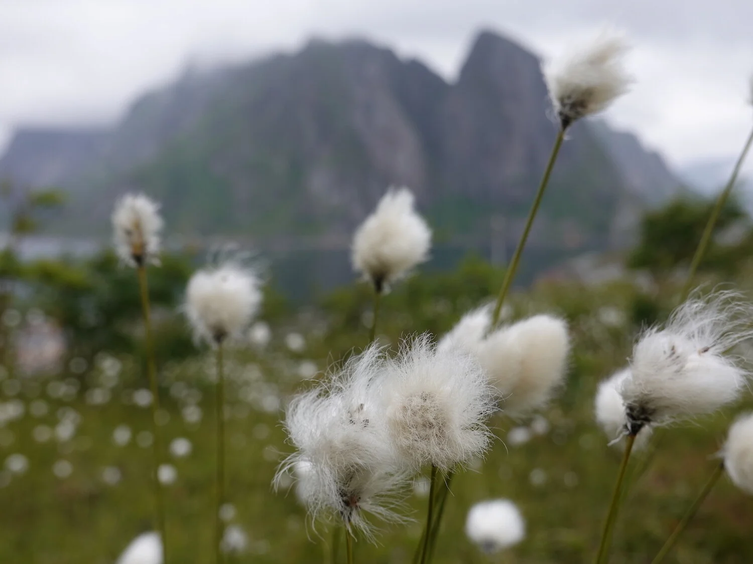
Flowers and peaks next to the ocean
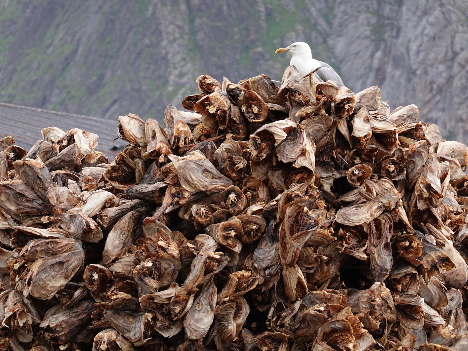
A hard day at the office

Boat ride to the Bunestranda trailhead
Toward Munken
Dock view
Little bit of sunshine
Cliffs above Bunes Beach
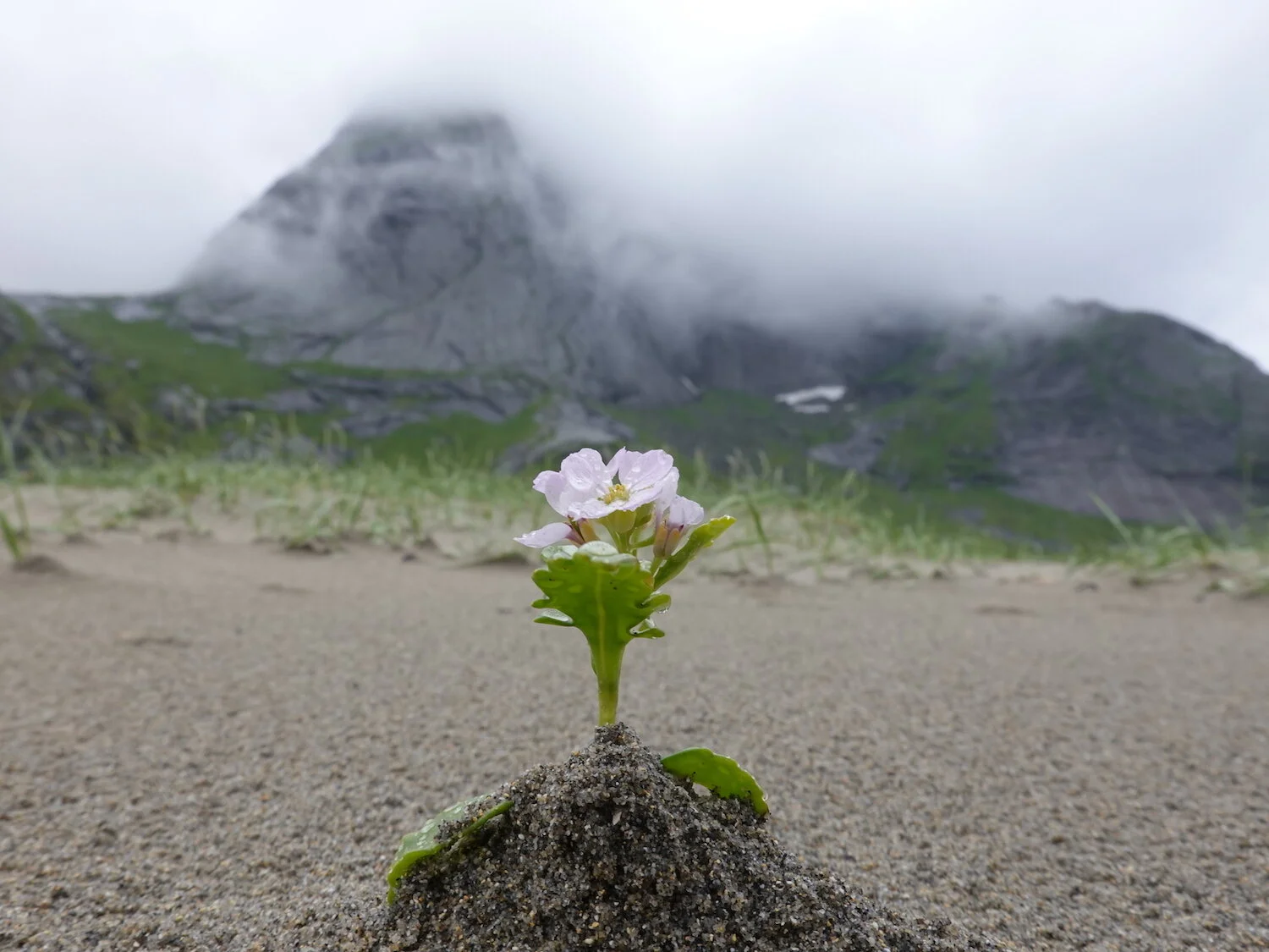
Bunestranda pioneer
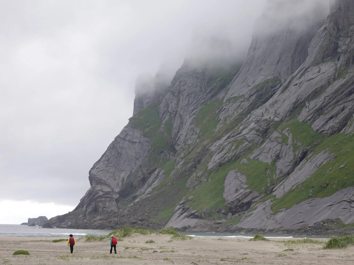
Beach day hike
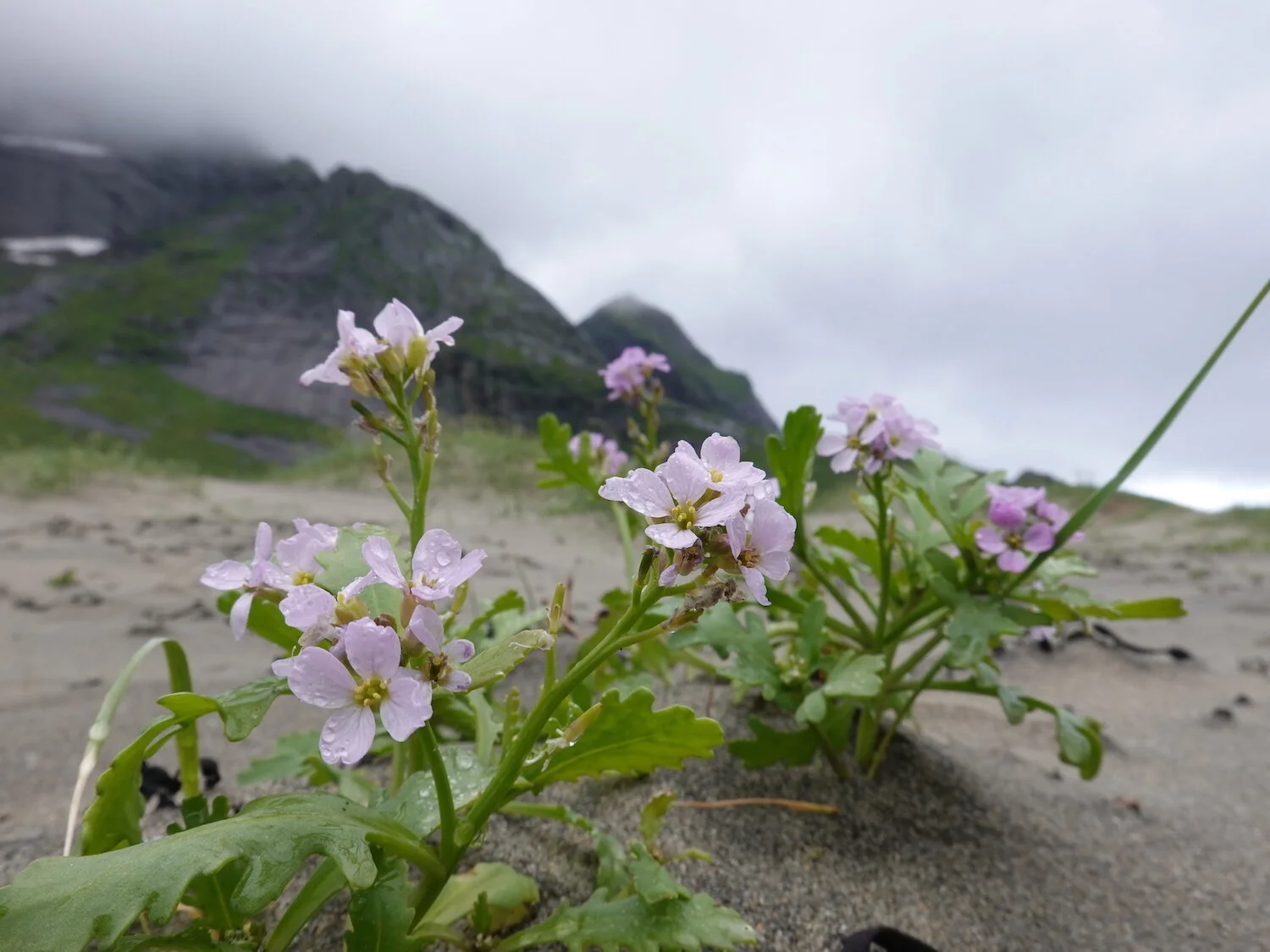
Bunestranda flowers
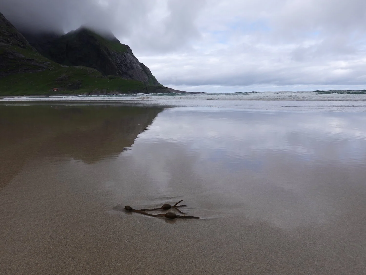
Seaweed flats
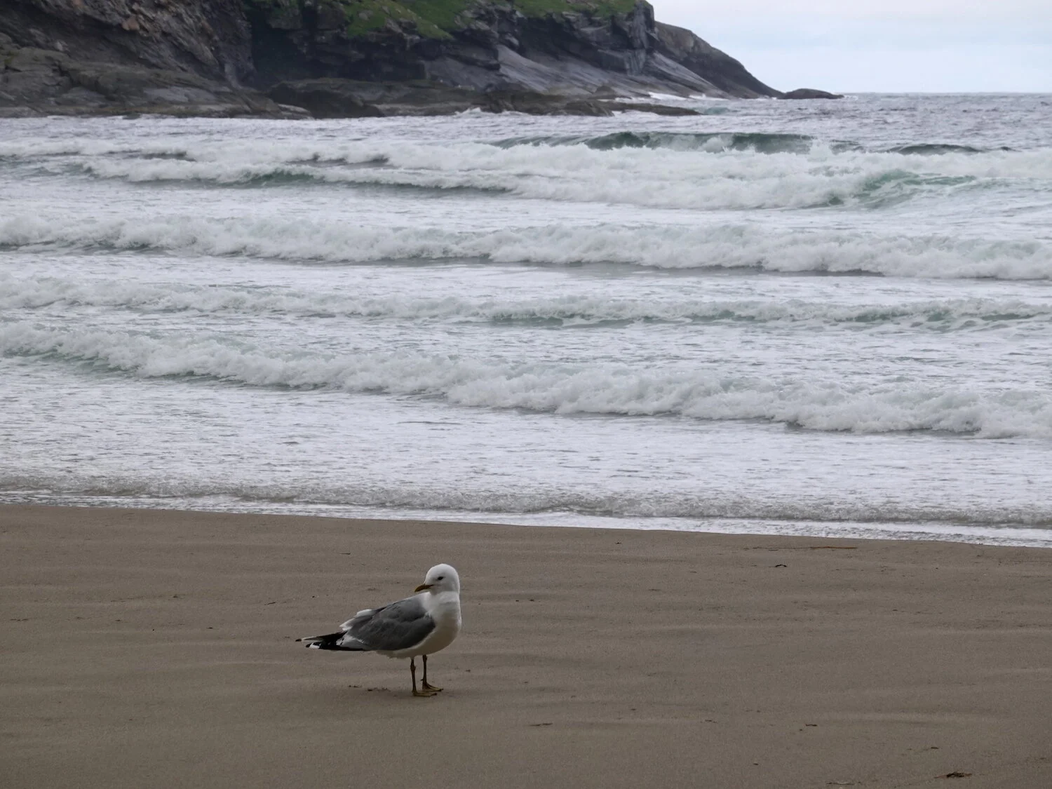
Wildlife typical of the area
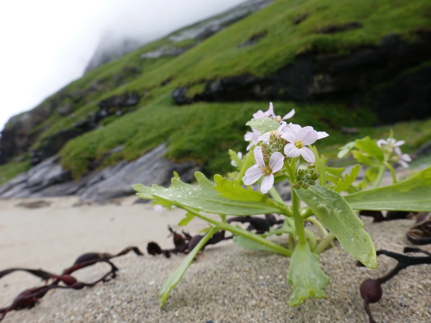
On the edge of the beach
Productive day at the beach
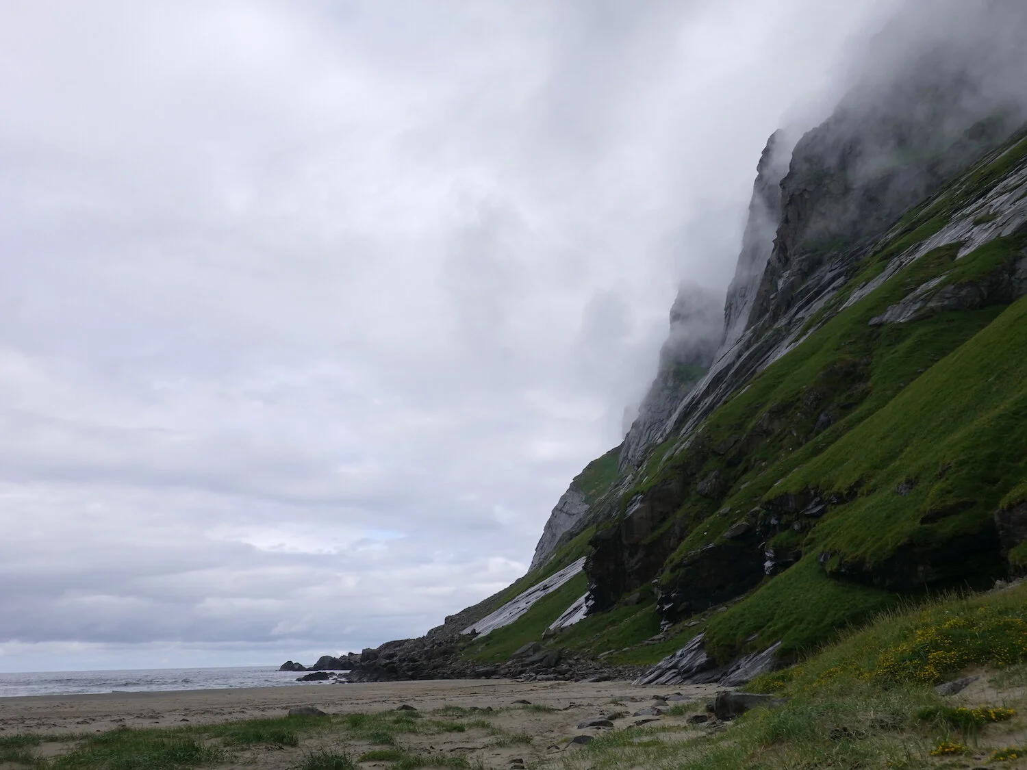
Cliff steam

Below the cliffs
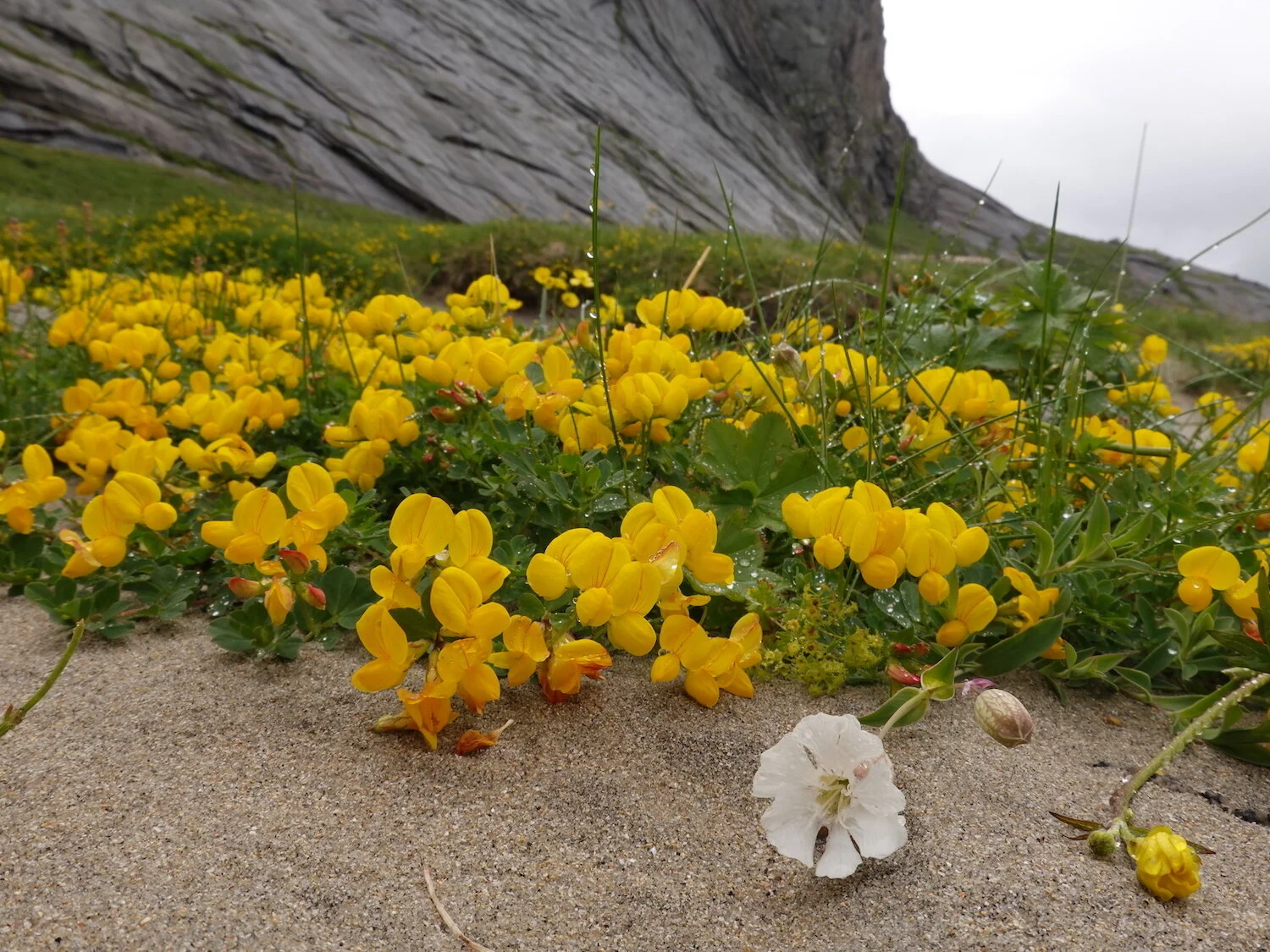
Sand dune flowers
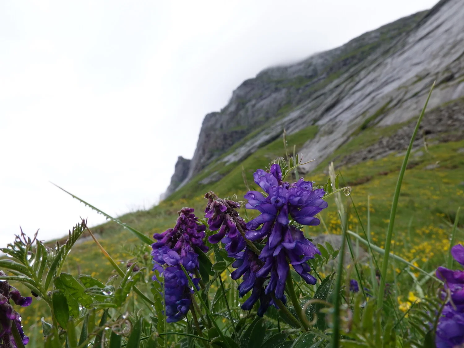
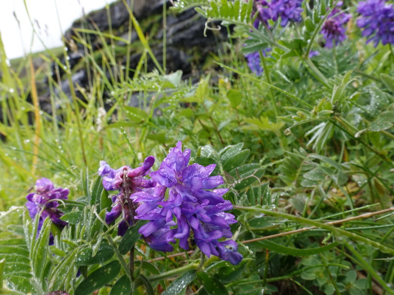
Wet flowers
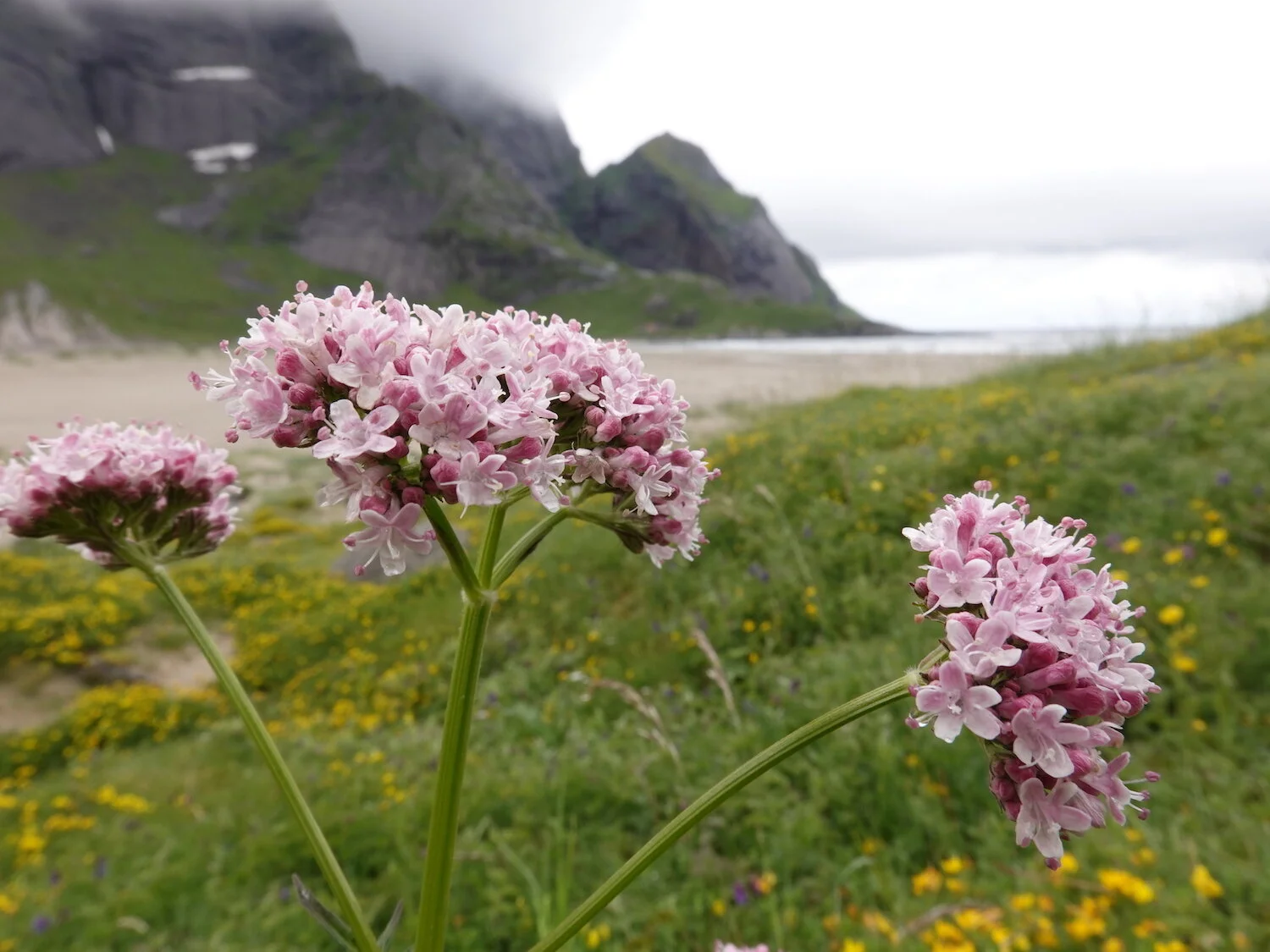
Bunestranda
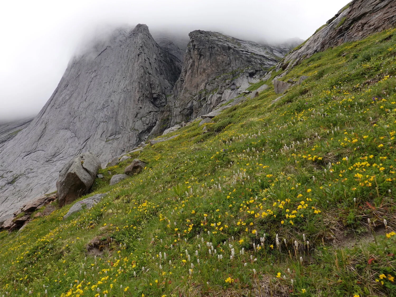
Early summer
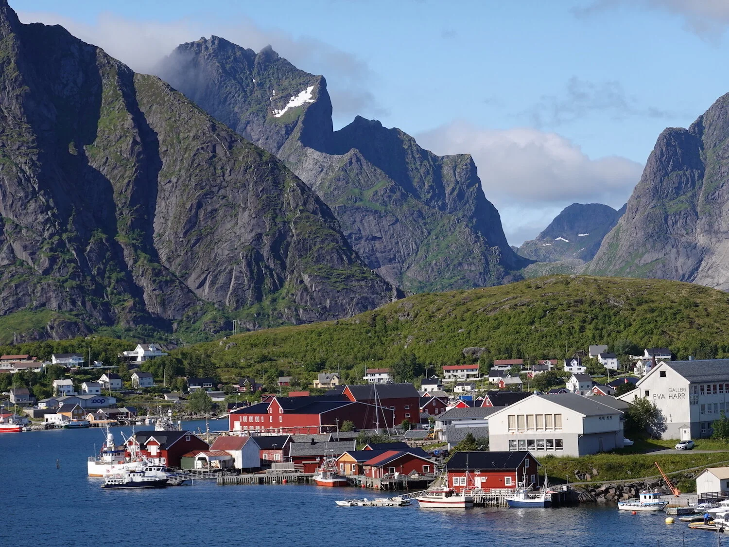
Reinefjord
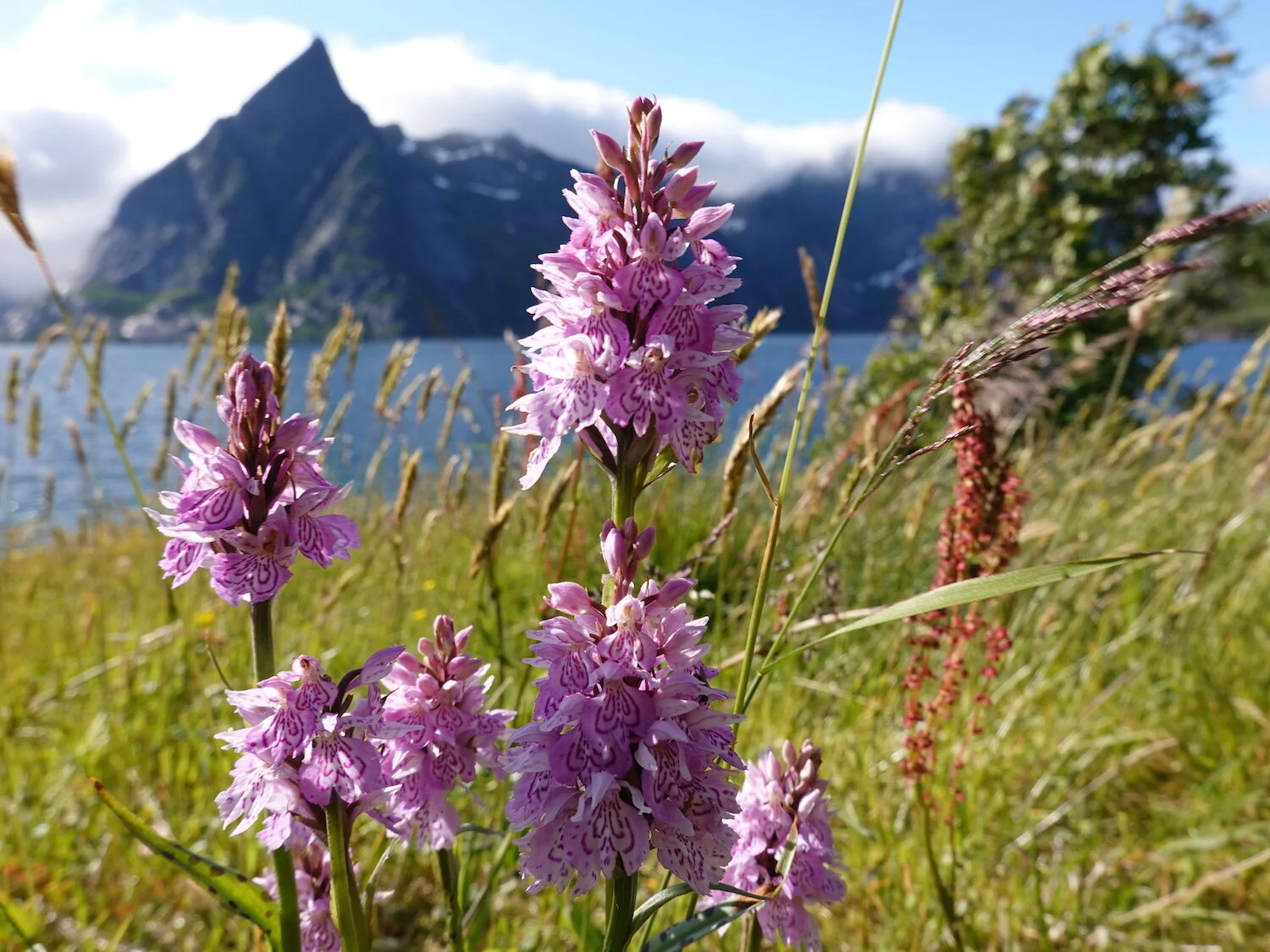
Little island exploration
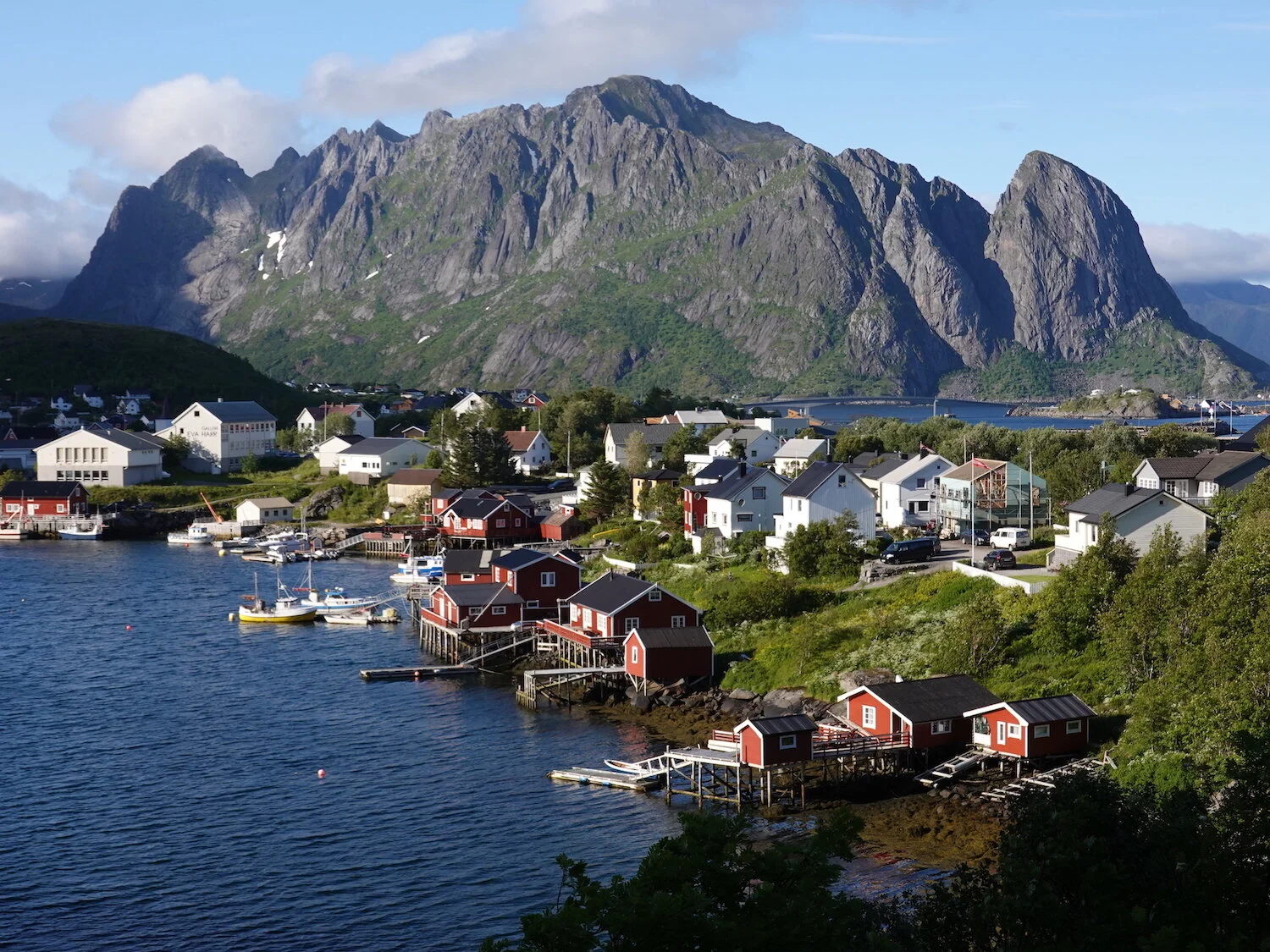
Nice weather anomaly
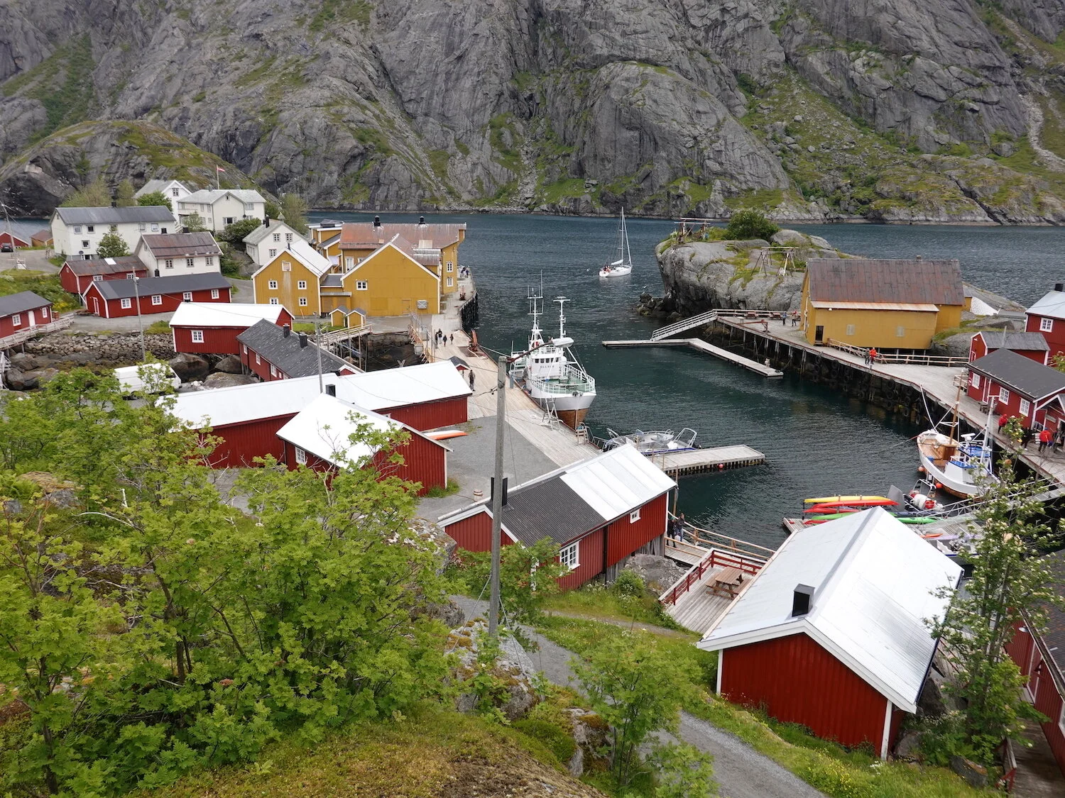
The UNESCO World Heritage fishing village of Nusfjord
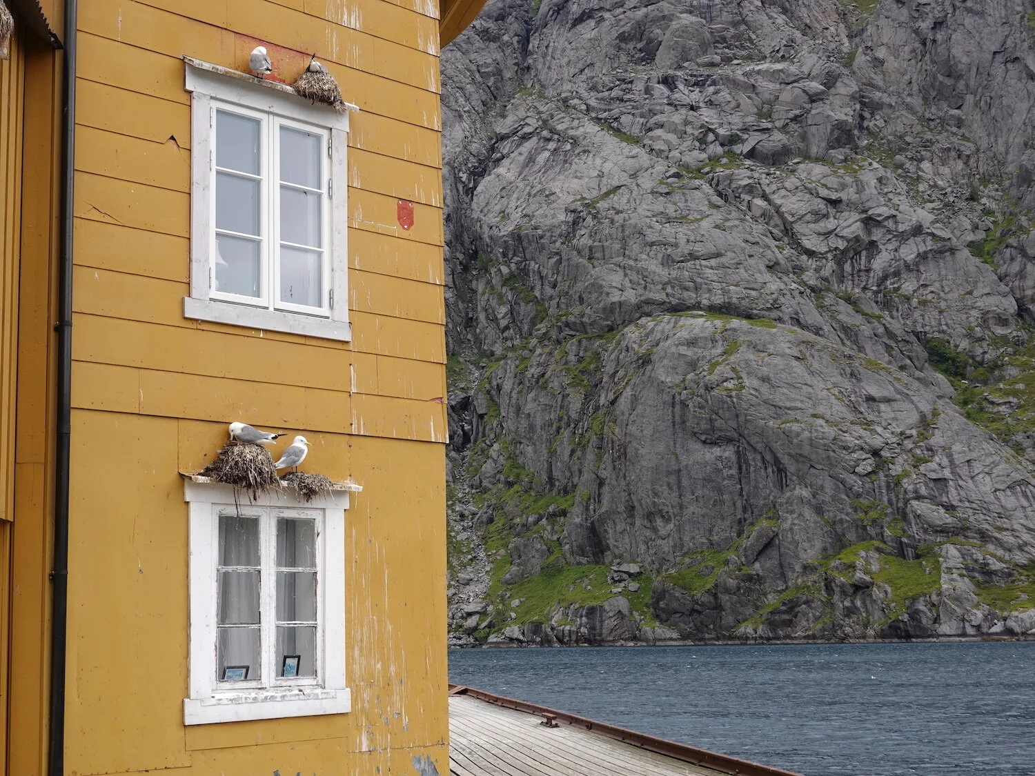
Seagull habitat
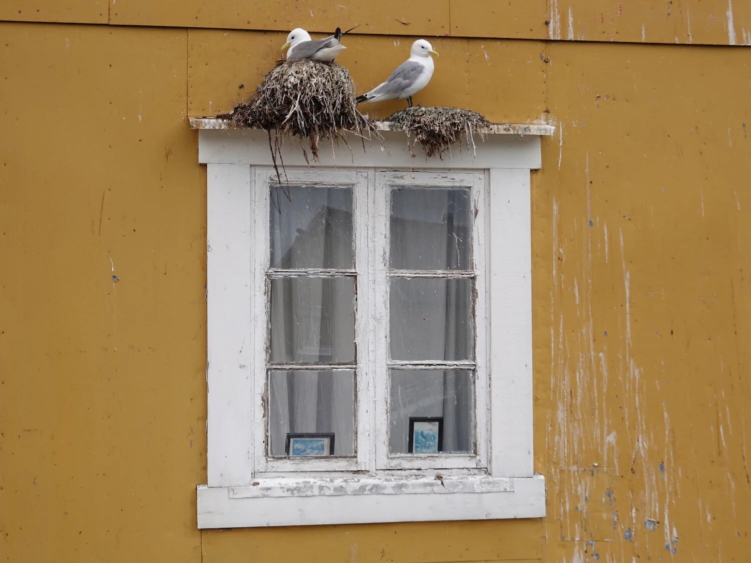
Nusfjord window

Local
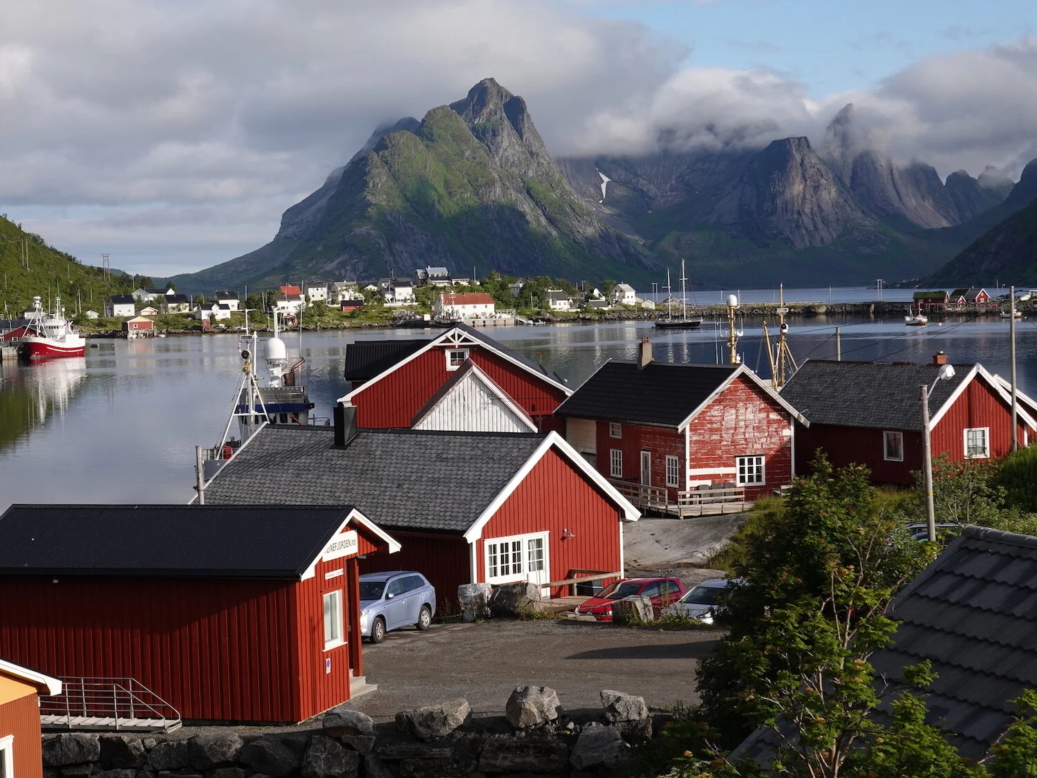
Reine morning vibe
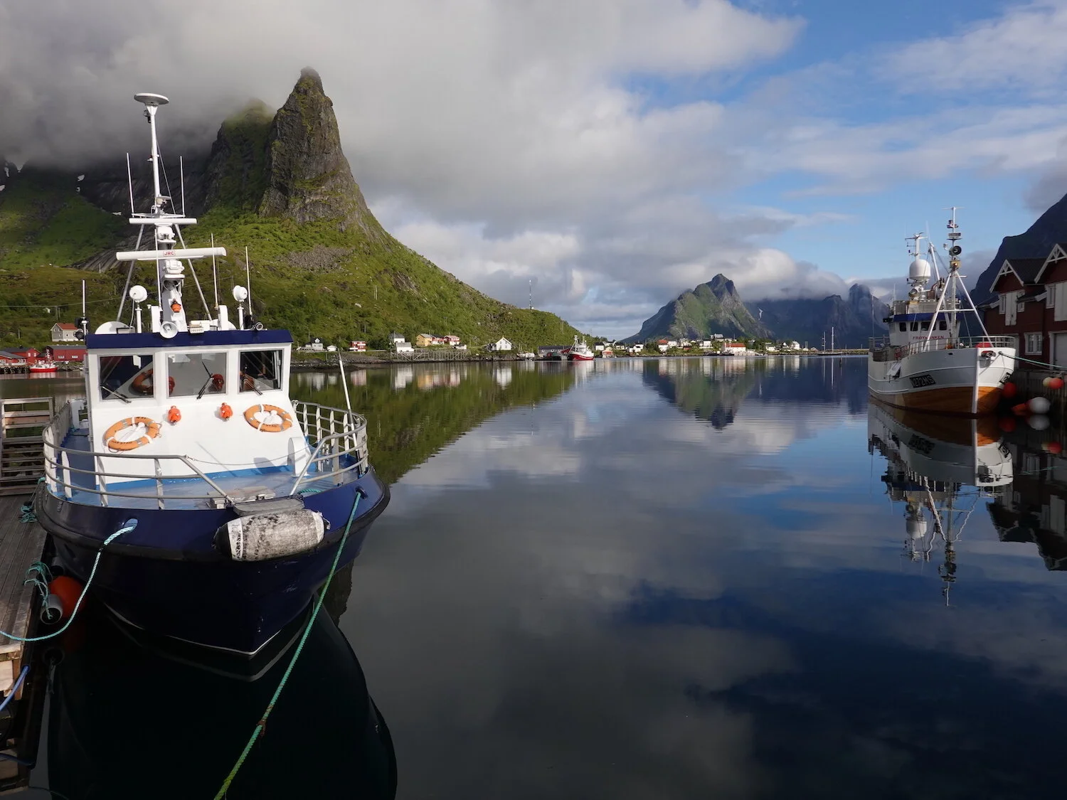
Tropics or the Arctic
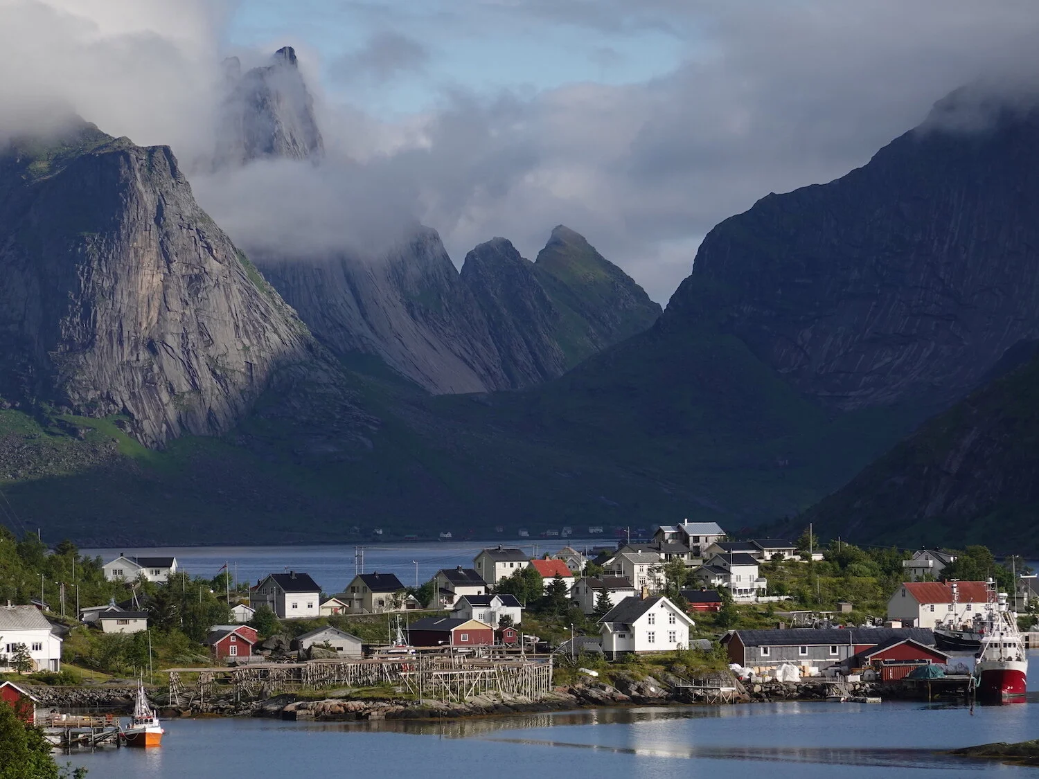
Almost the end of the road
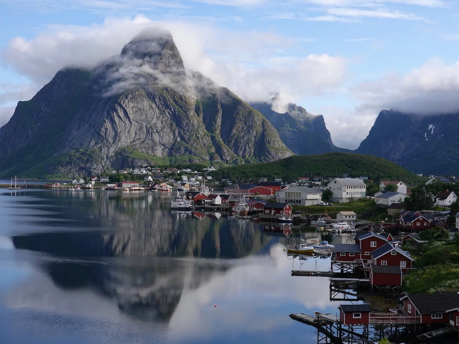
Blue chipper

Morning calm
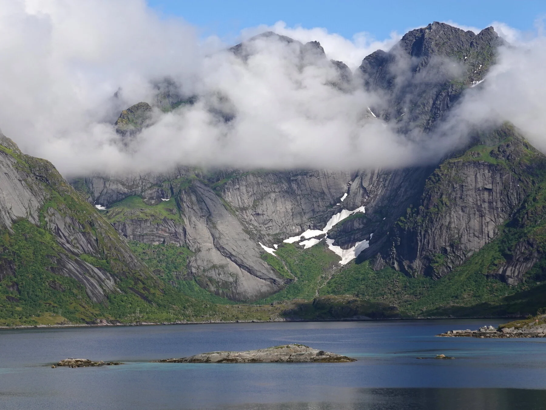
Fog placement
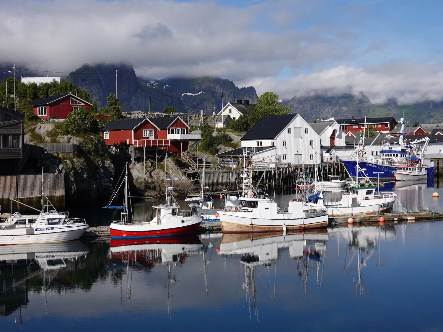
Harbor
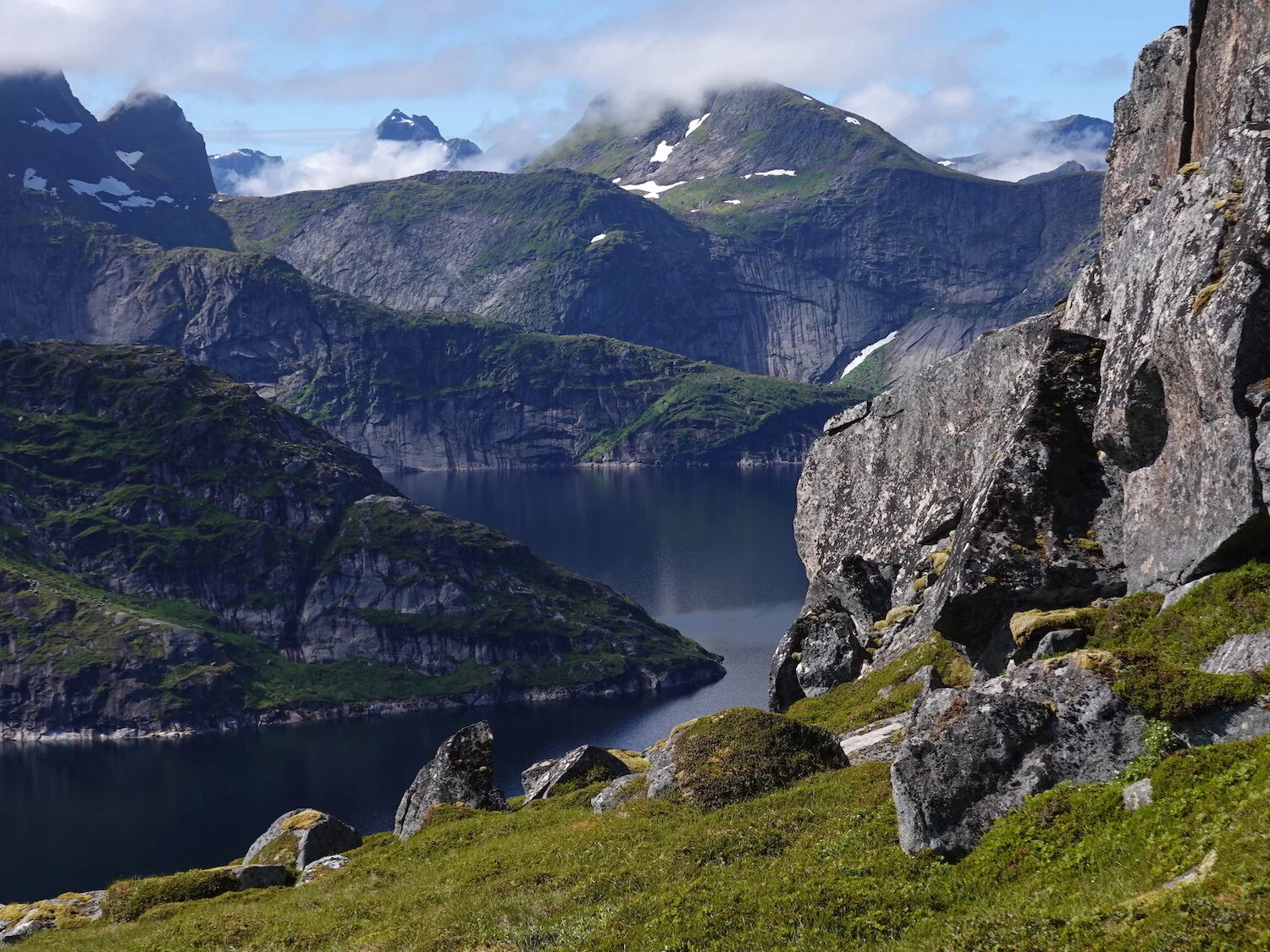
On the way to Narvtinden
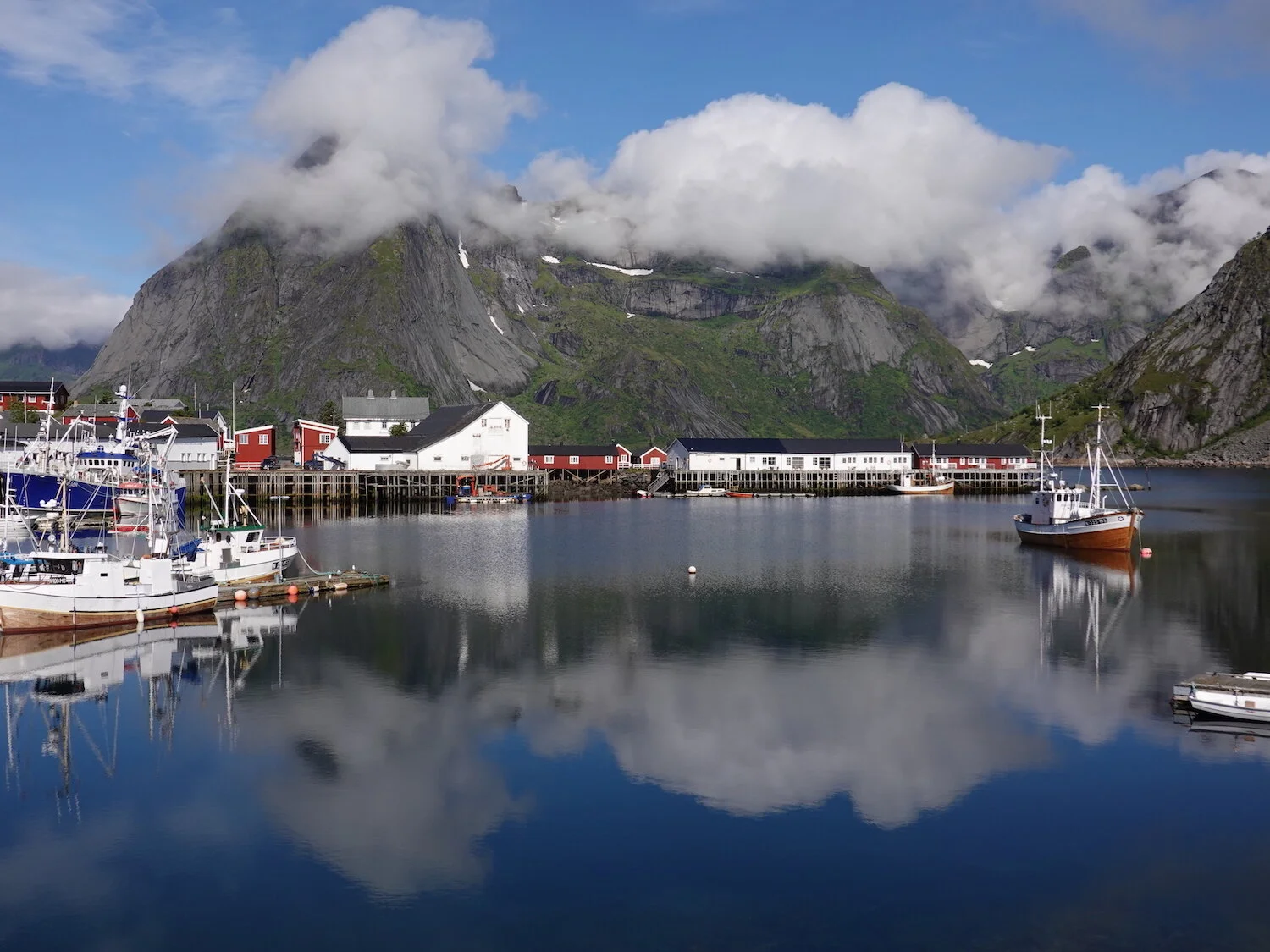
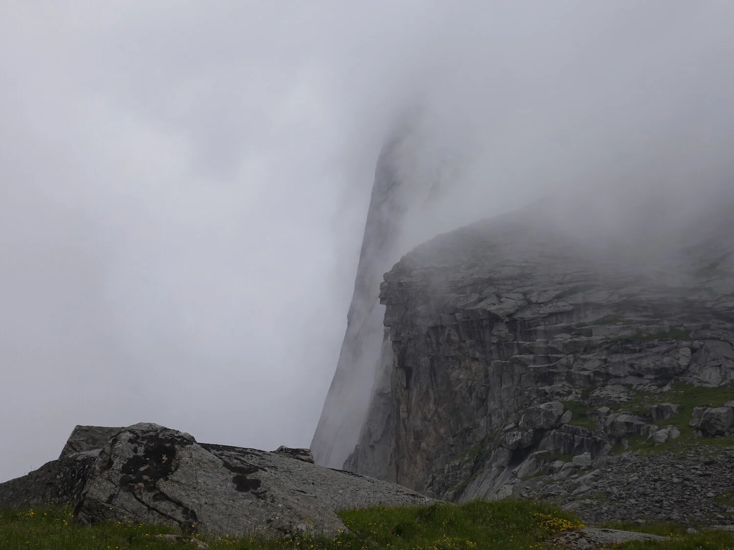
Cloaked
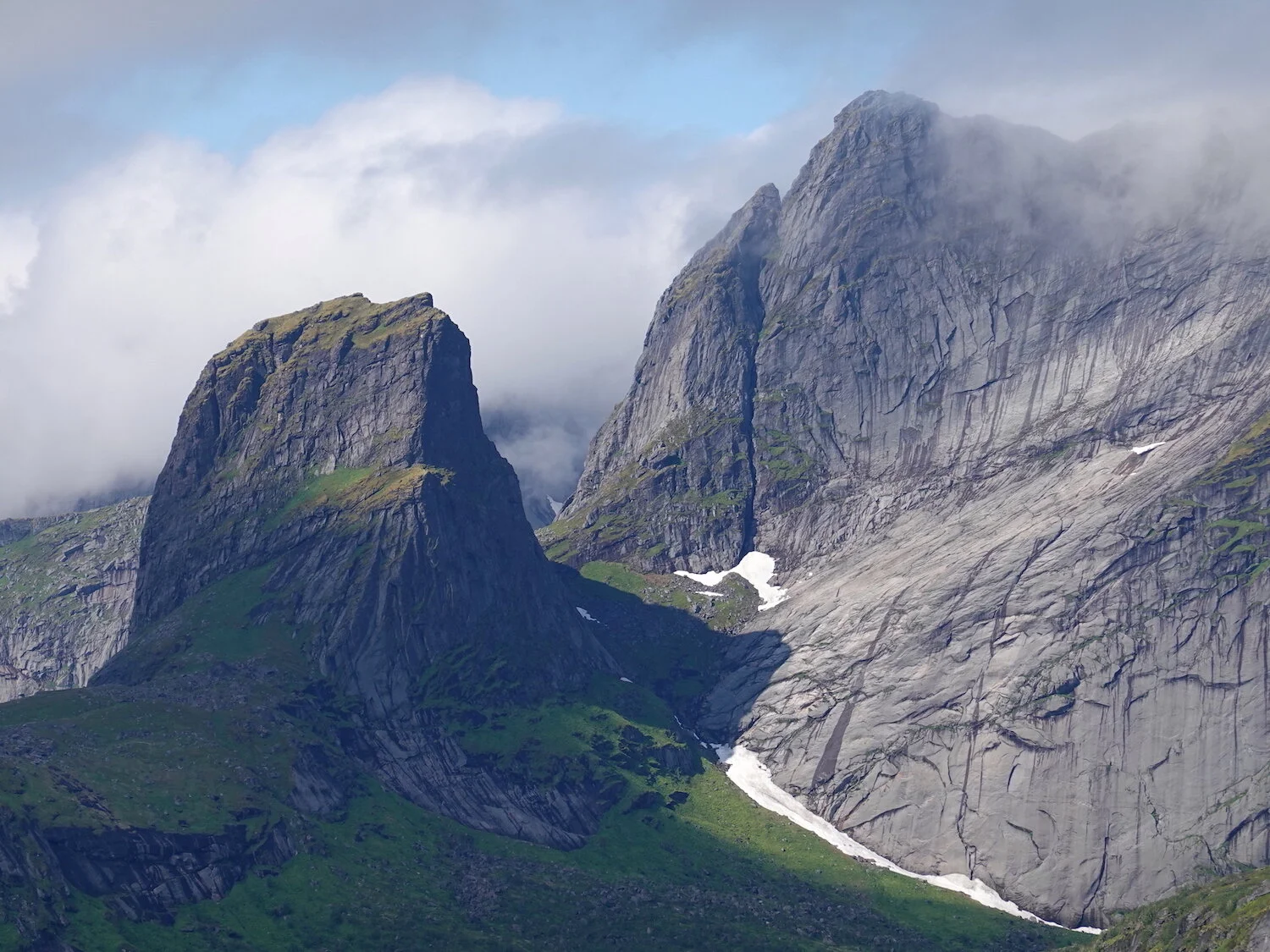
Moskenes island interior
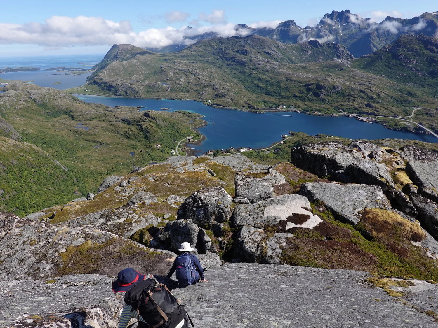
Tekoppstinden descent
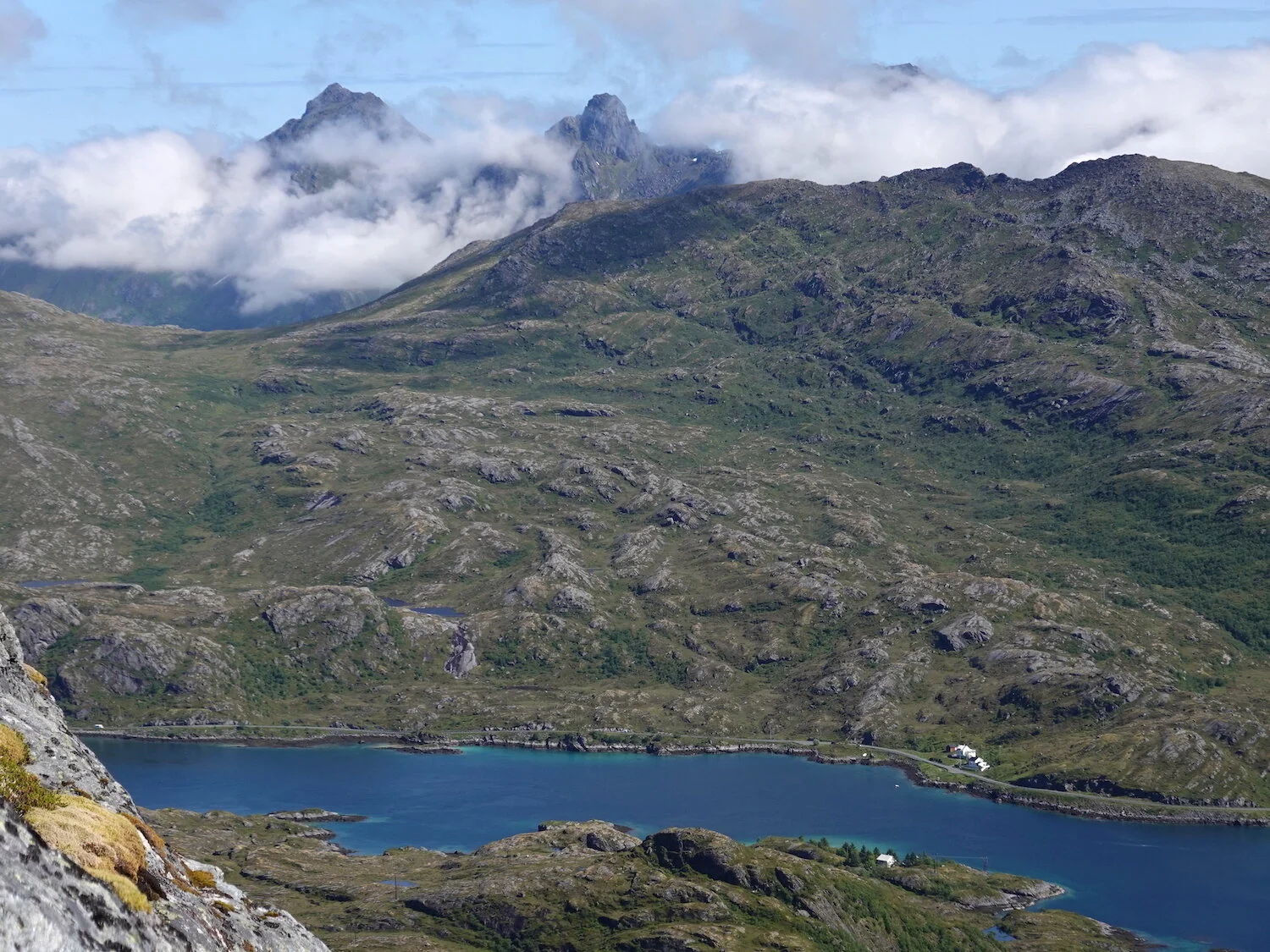
On Narvtinden
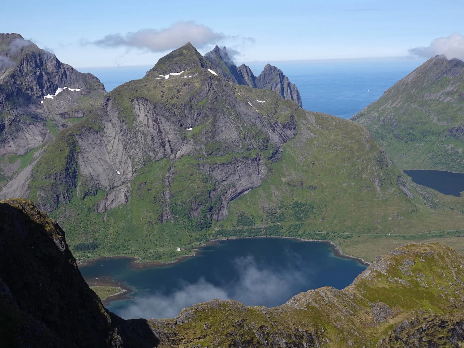
Narvtinden view
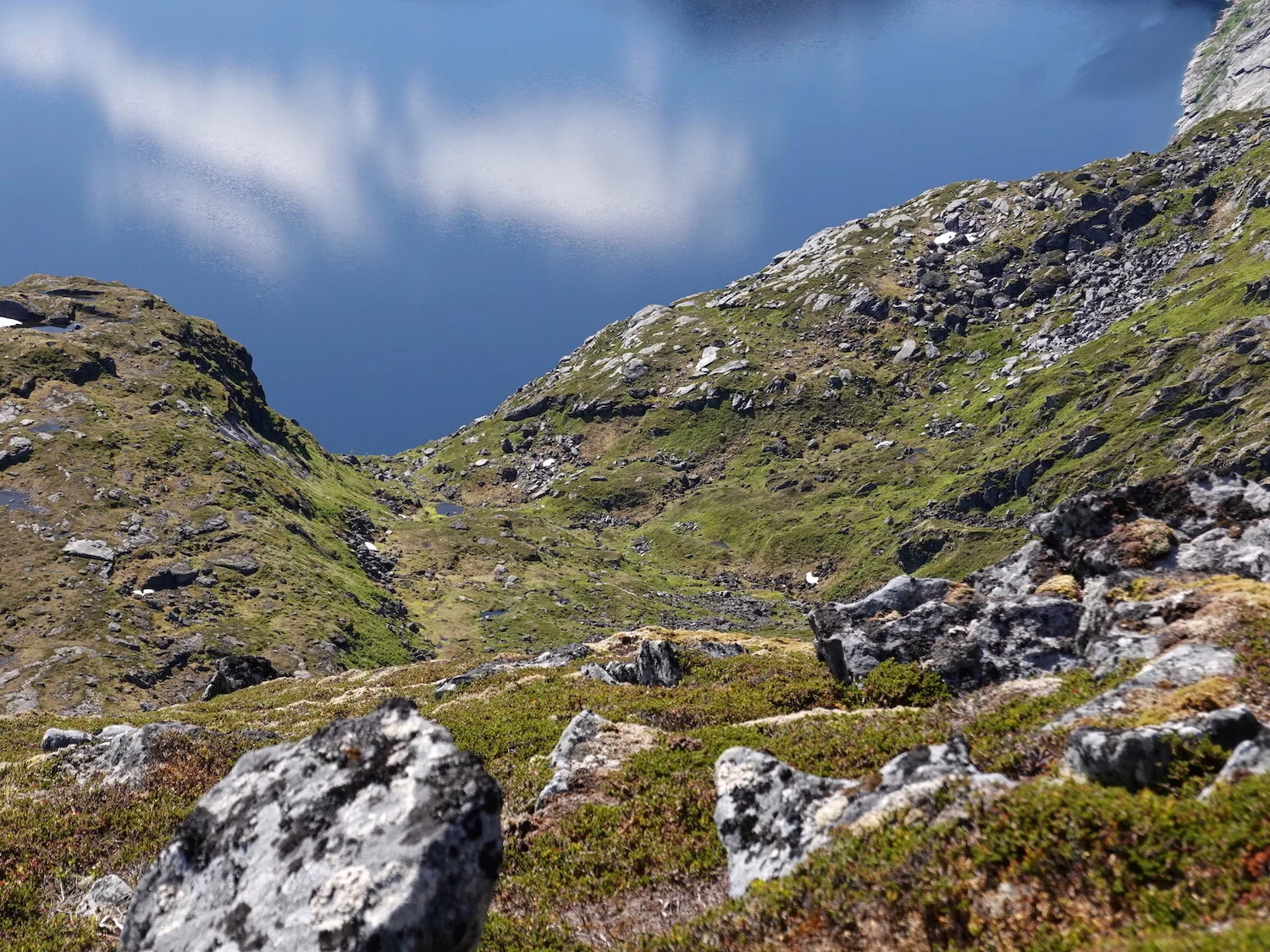
The sky is the limit
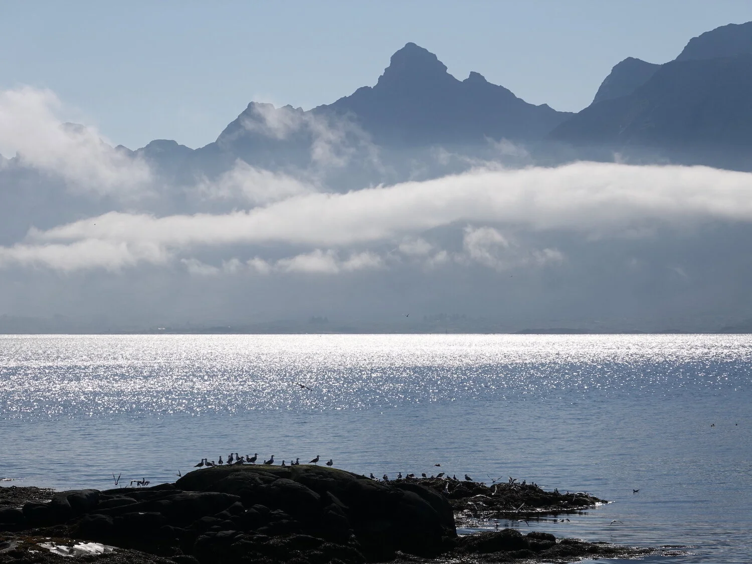
Up the fjord
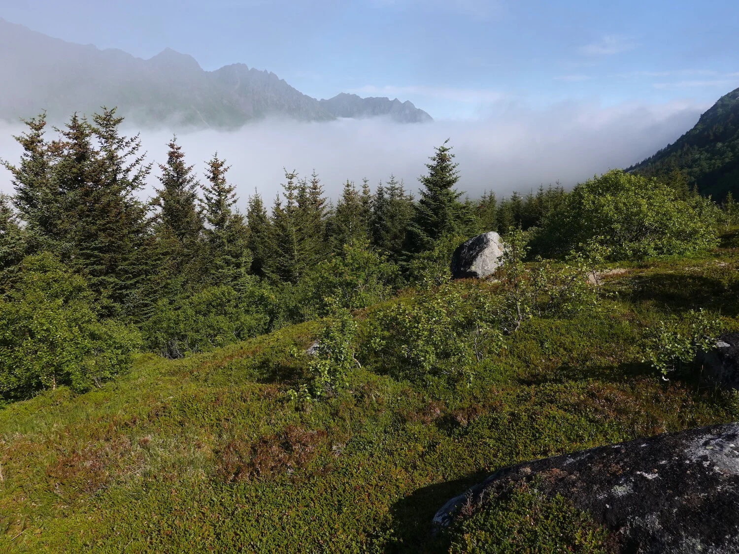
Working above the trees and fog
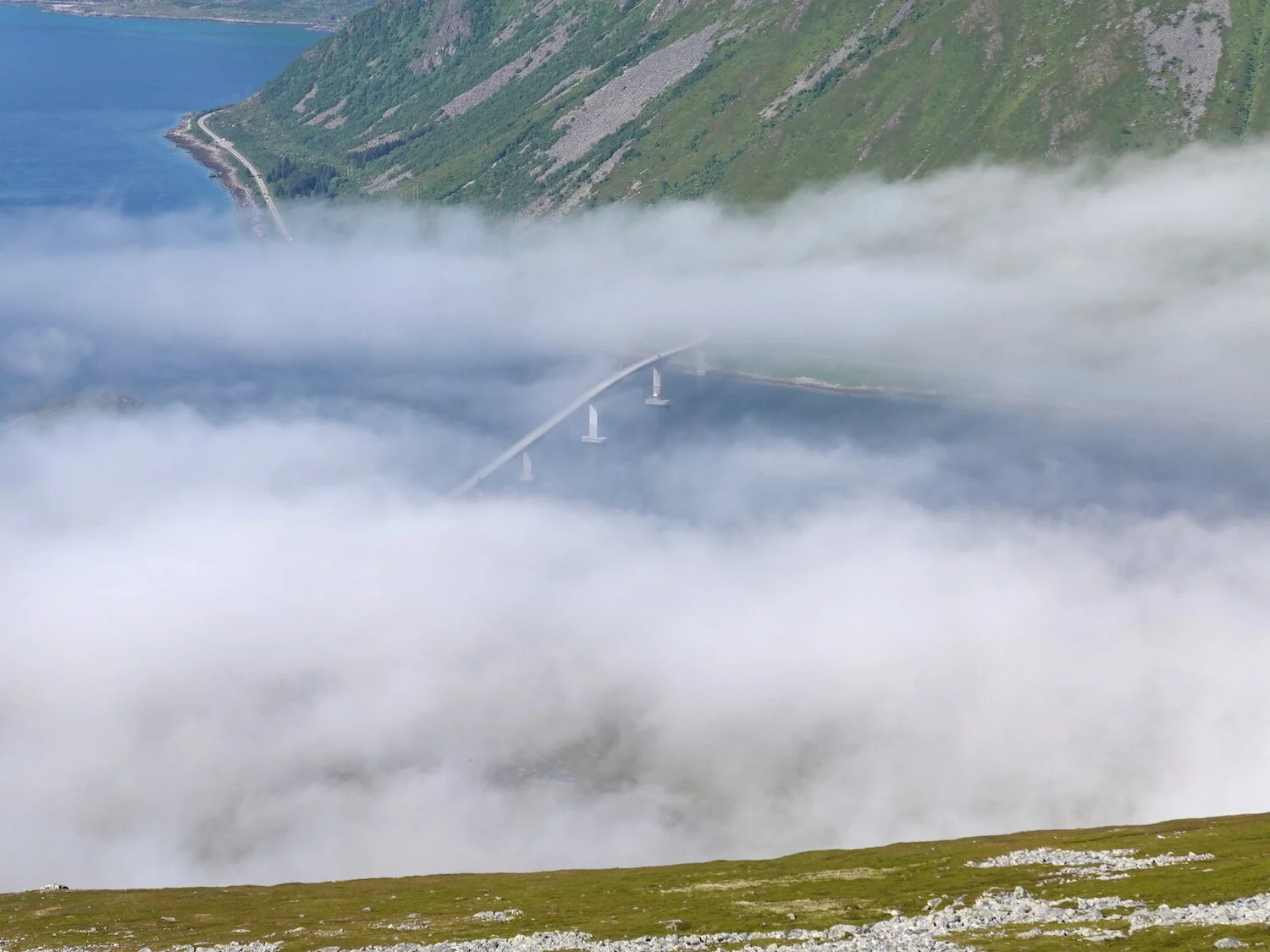
It was even getting a bit hot on this day
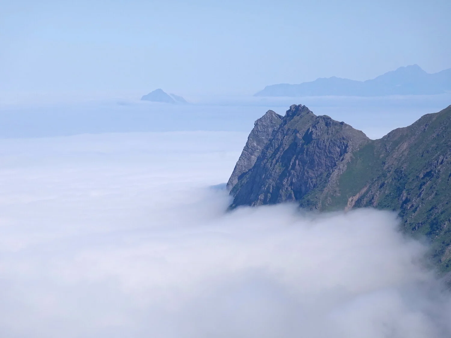
Kvasstinden view
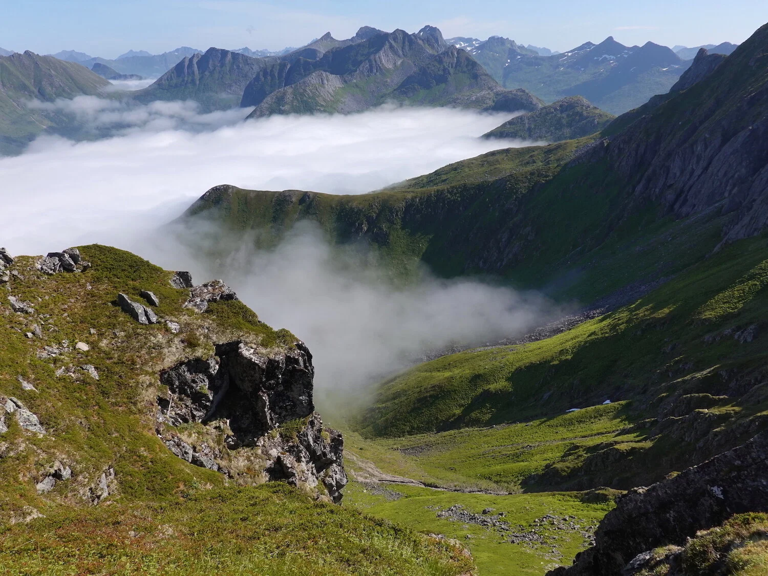
We could hear some sheep bells ringing down below

Above the fog on Kleppstad heiau
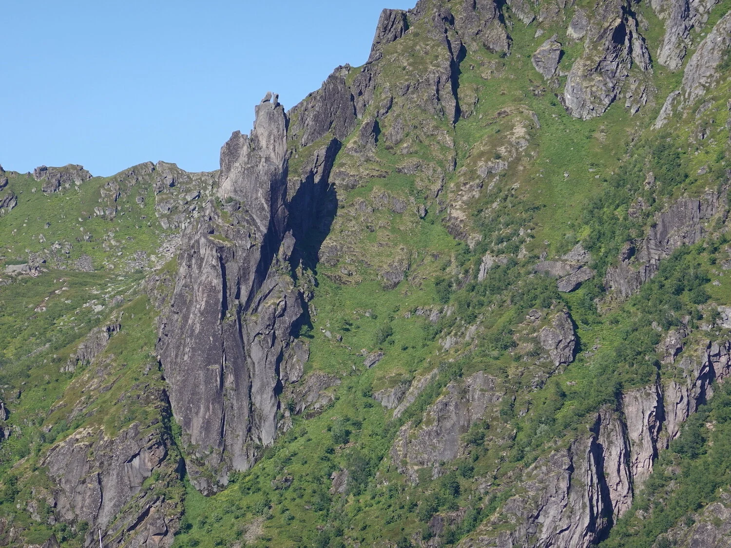
You can barely see some climbers on top of the Svolvaer-geita pinnacle from the dock in Svolvaer
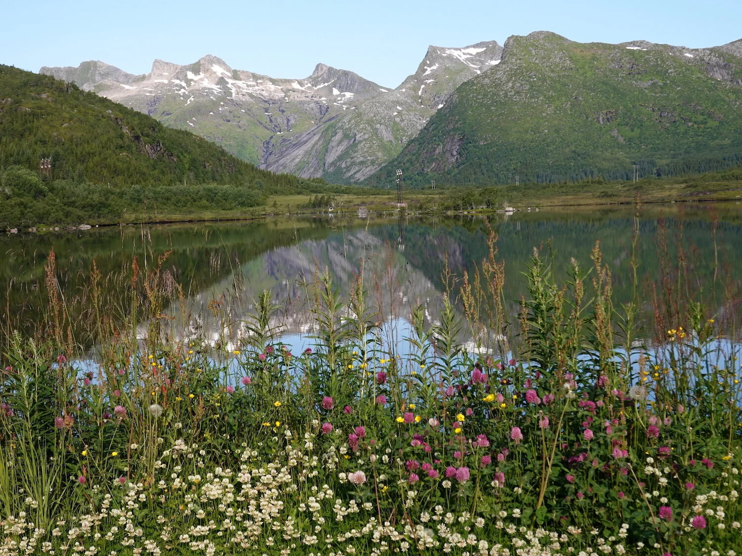
Near the Kongstindan trailhead

View across Svolvaer past Stormolla Island to the mainland from Kongstindan. Svolvaer was the biggest town we went to in Norway.
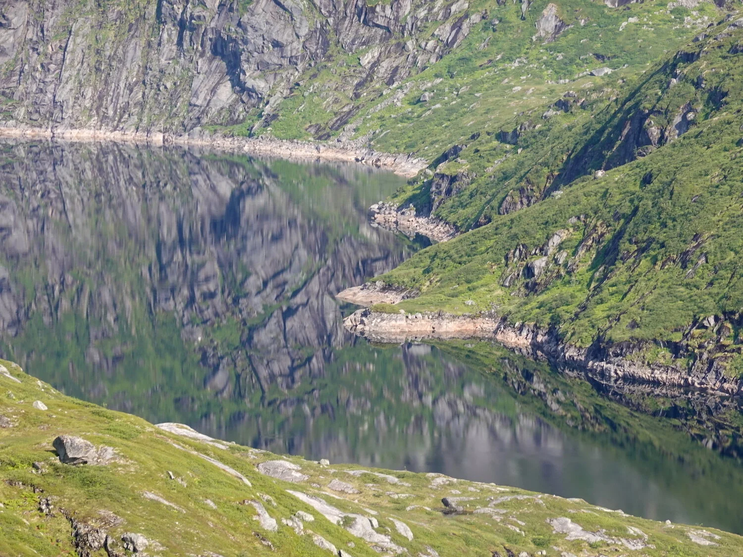
Reflection

Henningsvaer is behind that peak
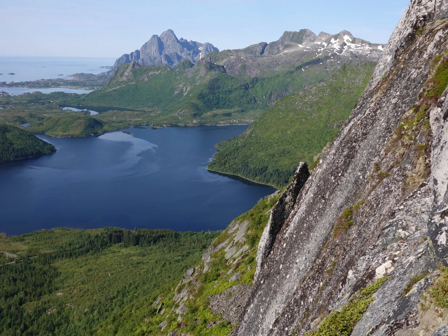
Henningsvaer is behind the mountain on the left
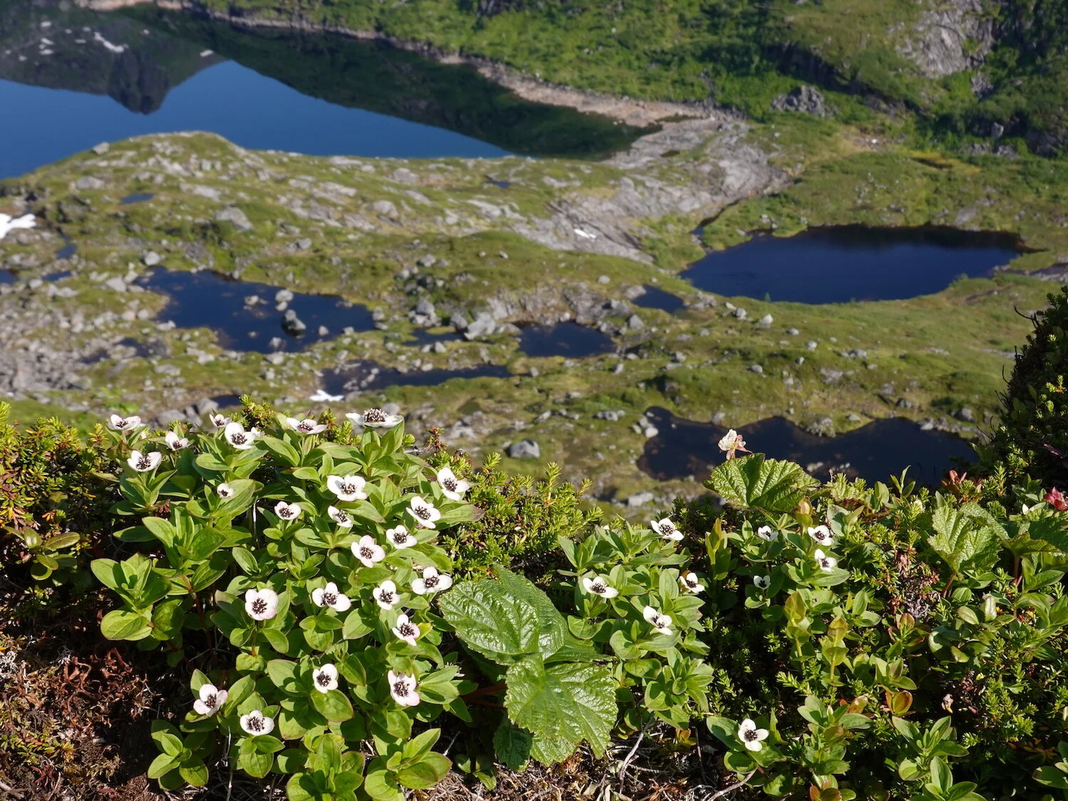
Mountain lakes
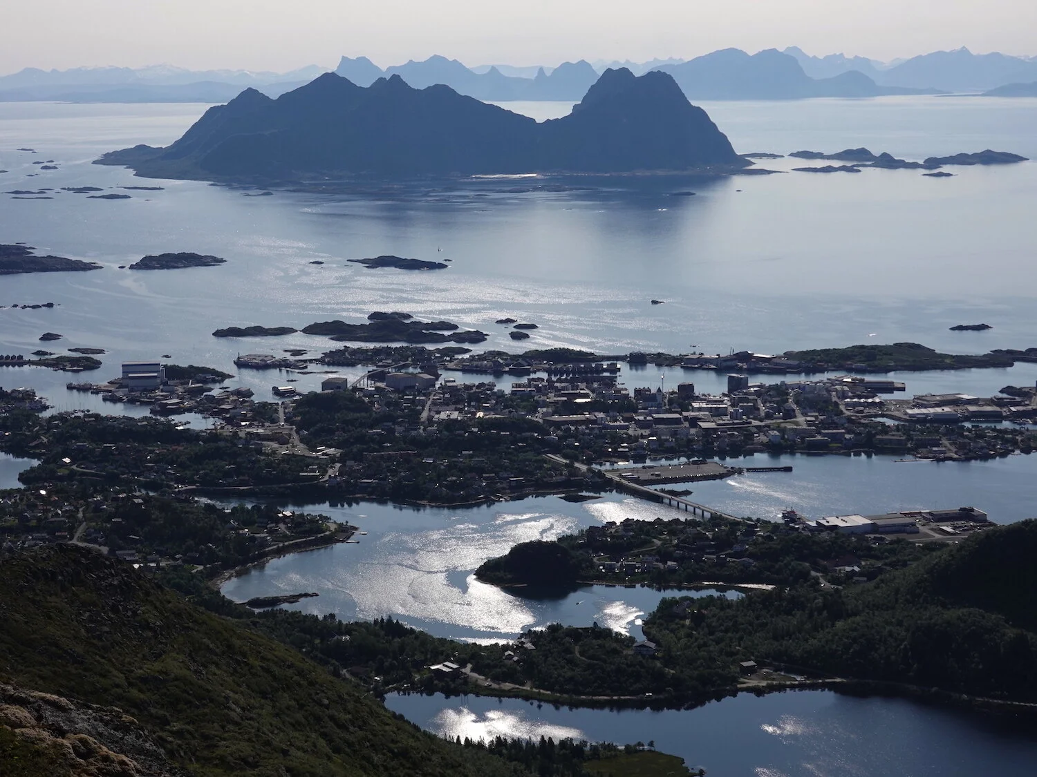
Svolvaer was the closest thing we saw to a big city
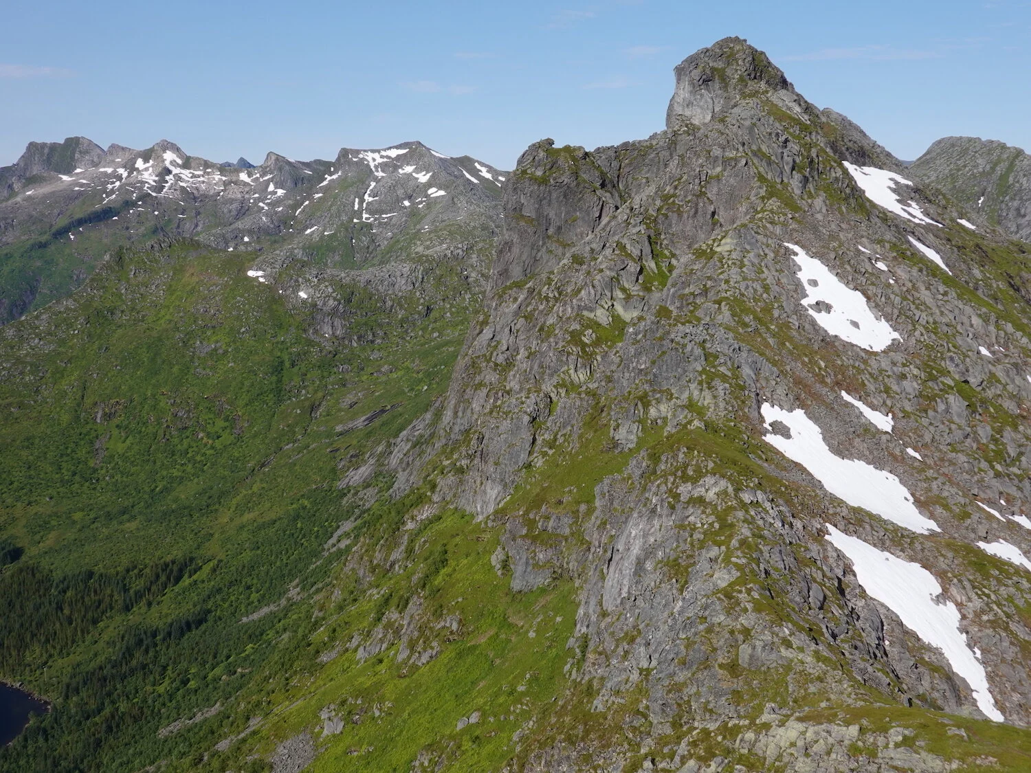
Kongstindan view

Toward Higravtinden, the highest peak in the Lofoten Islands

We hiked up a little island near the road on the drive back up the peninsula

Our flight didn't leave until mid morning so we drove around found a place to hike around
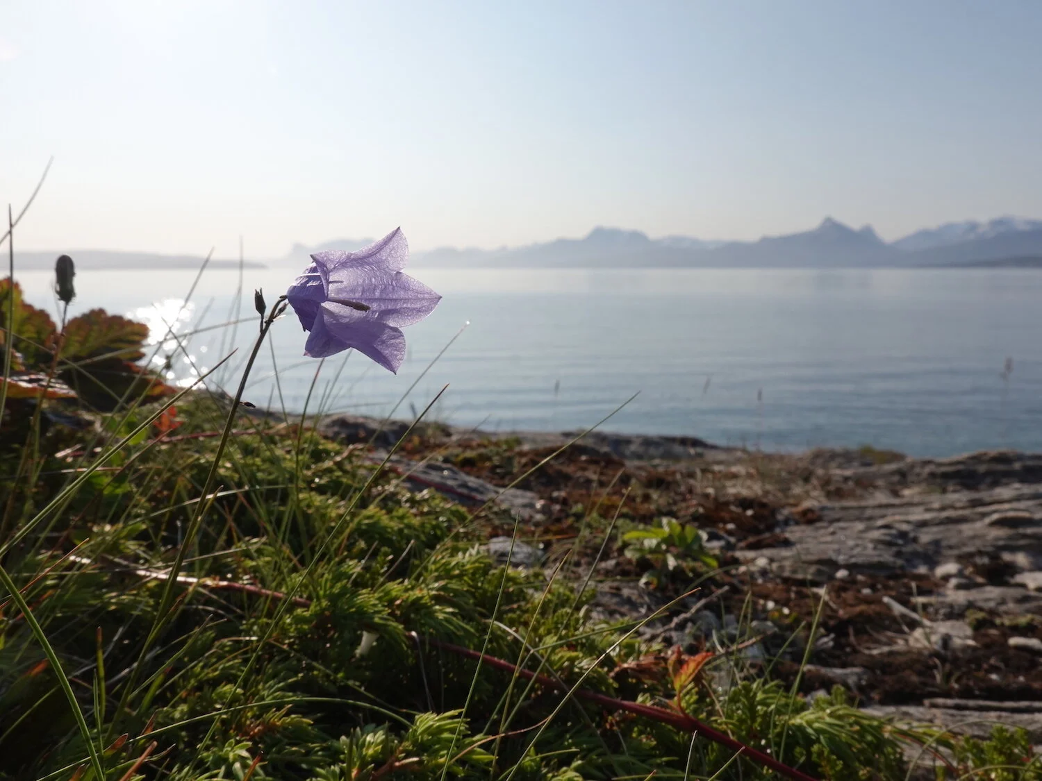
A view over to the mainland

Kingsminnen was an interesting little peninsula to explore
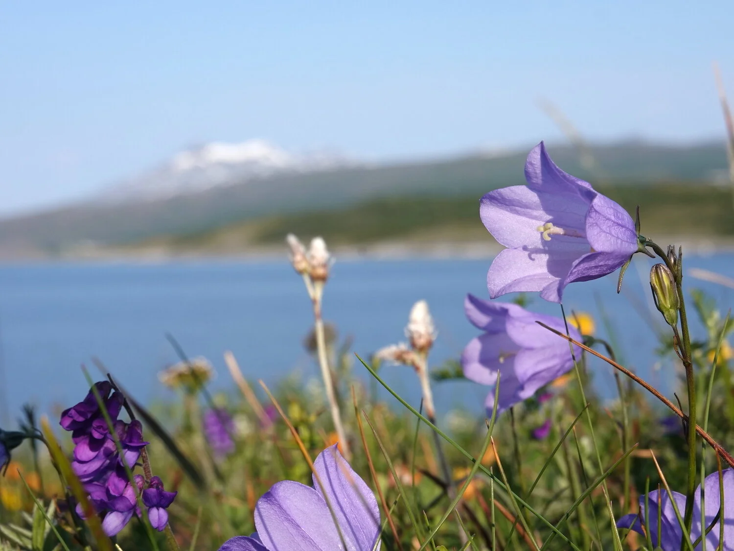
Up the fjord a ways
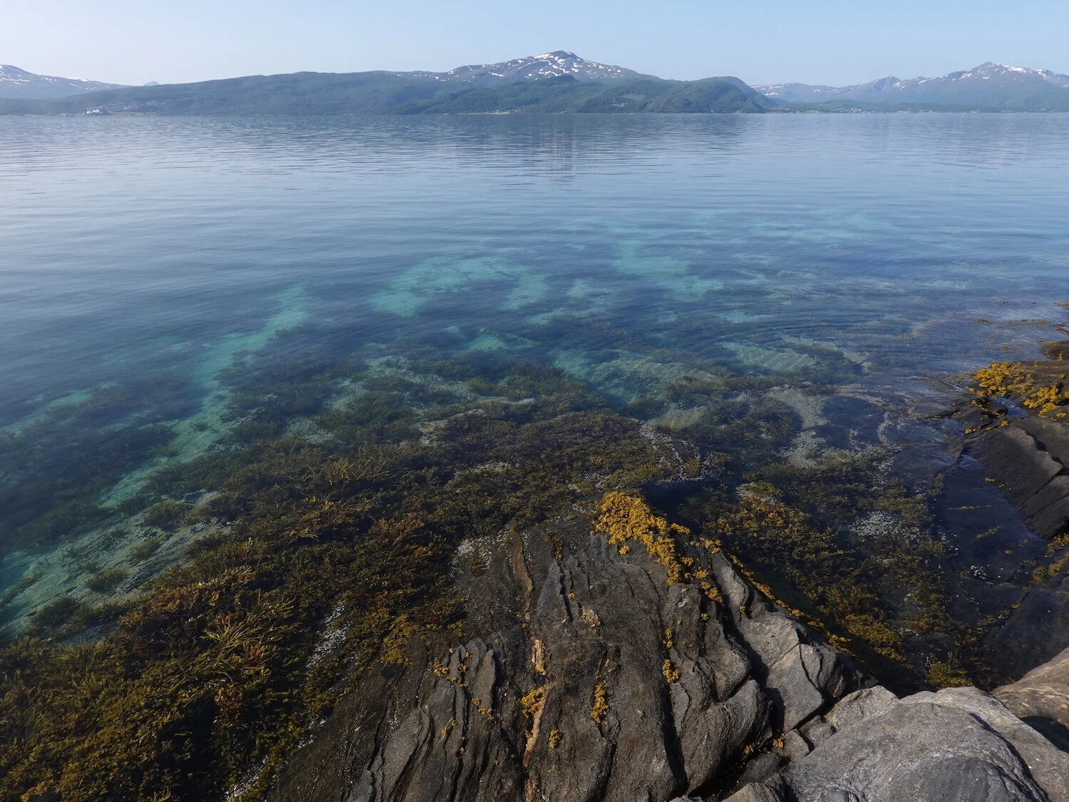
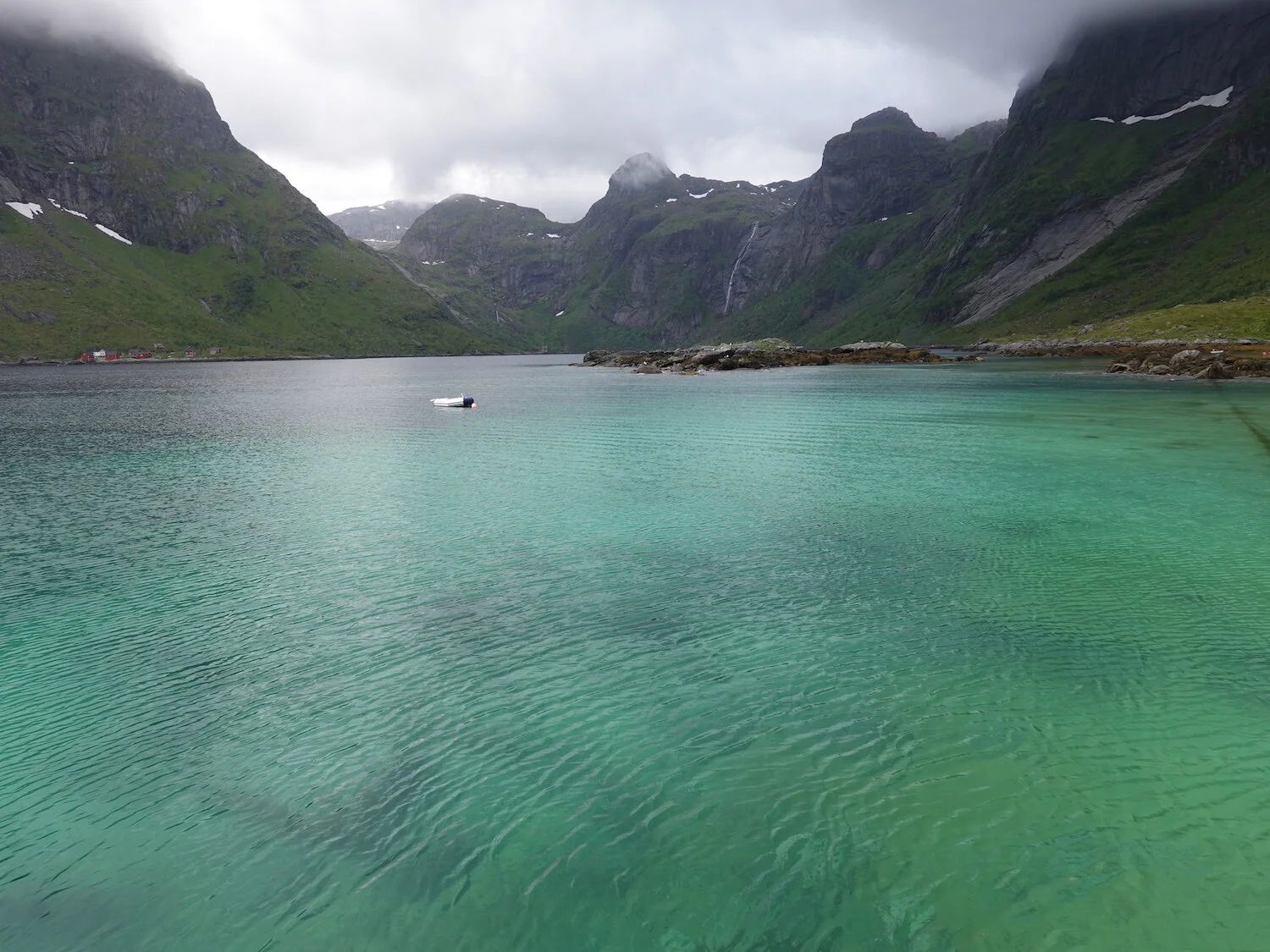
We would joke that the blue-green waters were almost Baja quality
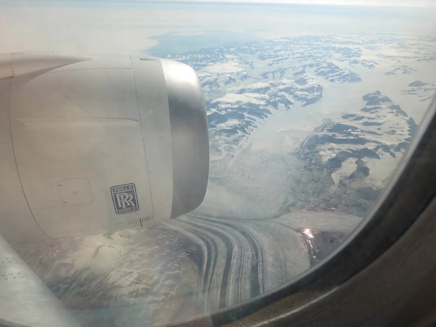
I had no idea that the first time I would travel in a Rolls Royce would be in a flight over Greenland